 Arctic SDI catalogue
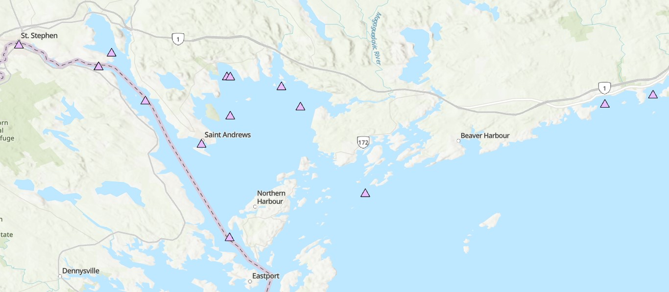
Water temperature
Type of resources
Topics
Keywords
Contact for the resource
Provided by
Formats
Representation types
Update frequencies
status
-

The Coastal Environmental Baseline Program is a multi-year Fisheries and Oceans Canada initiative designed to work with Indigenous and local communities and other key parties to collect coastal environmental data at six unique sites across Canada, including the Port of Saint John (New Brunswick). The overall purpose of the Program is to collect localized ecological data in these areas to build a better baseline understanding of marine ecological conditions. The Maritimes region has developed a physical oceanography project to align with the interests and data needs of local communities and stakeholders. Starting in 2020, data describing the depth and temperature of tidal flood waters have been collected at a series of intertidal locations in the Port of Saint John vicinity, to characterize high marsh flood tides and water level fluctuations near the Courtenay Bay causeway. Inundation by marine waters in high marsh areas is typically limited to spring tides, while the water level in Courtenay Bay is influenced by anthropogenic infrastructure (e.g. causeway, tide gates). The resulting data can enhance studies ranging from coastal vulnerability and resilience to salt marsh morphodynamics, by quantifying the frequency, amplitude and duration of tidal inundation. Data were collected using Hobo U20-001-02 water level loggers, which were deployed inside stilling wells constructed from 15-inch lengths of perforated ABS pipe (2¼” diameter). The stilling wells were sunk to a depth of 6 inches below ground, with the water level logger suspended inside the well from a bolt near the top. The logger was positioned with a rigid wire such that the measurement volume was equal to ground level, while allowing the logger to be easily removed for downloading and precisely replaced at the measurement location. Loggers were accessed 2-3 times per year to download, and were removed during the winter months. Data have been compensated for changing atmospheric pressure using the Barometric Compensation Tool in HobowarePro (version 3.7.21) and barometric pressure data collected from a dry location during the study period. The resulting water level is reported in meters, and is relative to the elevation of the water level logger (e.g. above ground level). Citation: Port of Saint John intertidal water level and temperature (2020-2022). Coastal Environmental Baseline Program. Coastal Ecosystems Science Division, Fisheries and Oceans Canada, St. Andrews, N.B. XX-XX-2024
-
The Coastal Environmental Baseline Program is a multi-year Fisheries and Oceans Canada initiative designed to work with Indigenous and local communities and other key parties to collect coastal environmental data at a series of sites across Canada, to build a better understanding of existing marine ecological conditions. The program began data collection in 2019, and with the onset of Phase 2 in 2023, the Maritimes region study area was expanded and renamed ‘Northwest Fundy Shores’. A physical oceanography program was designed to align with the oceanographic interests and data needs of local interest holders. Starting in 2023, oceanographic parameters including water temperature, salinity, depth and turbidity have been monitored at a series of locations in Passamaquoddy Bay, the St. Croix River, and along the Bay of Fundy coast, including the Musquash estuary Marine Protected Area (MPA). This dataset includes seasonal CTD (conductivity, temperature and depth) and turbidity data starting in spring 2023. Instruments are maintained through the winter months at a limited number of sites. Data collection methods are primarily moored instruments on the bottom in water depths of 5-90 meters, and a few buoyant surface floats. Overall, this dataset captures seasonal dynamics in near-shore marine environments in Passamaquoddy Bay, the St Croix River, the Bay of Fundy and the Musquash MPA. Cite this data as: Coastal Environmental Baseline Program (Maritimes Region), Northwest Fundy Shores conductivity, temperature and depth data. Published in May 2025. Coastal Environmental Baseline Program. Coastal Ecosystems Science Division, Fisheries and Oceans Canada, St. Andrews, N.B. 14-02-2025
-

For several years, Fisheries and Oceans Canada (DFO) has conducted annual ship-based surveys in the St. Lawrence Estuary and the Gulf of St. Lawrence to assess environmental conditions and support a range of scientific objectives. Because these surveys do not extend into winter, a complementary regional monitoring program has been implemented annually in early March since 1996. This monitoring program is typically carried out using a Canadian Coast Guard helicopter, although in 2016 and 2017 it was conducted aboard an icebreaker. The winter survey measures physical oceanographic conditions to approximately 200 m depth along with nutrient concentrations in the surface layer. Starting in 2023, the survey was expanded to include phytoplankton measurements. Data from this program are integrated with those from the Atlantic Zone Monitoring Program (AZMP) to produce annual reports including physical (CTD) and biological (bottle) assessments and a Zonal Scientific Advisory for the Gulf of St. Lawrence which can be found on the following webpage under the given year : Atlantic Zone Monitoring Program (AZMP) - https://www.dfo-mpo.gc.ca/science/data-donnees/azmp-pmza/index-eng.html Here, raw data on physical oceanographic conditions, nutrient concentrations and phytoplankton collected during the winter survey are presented. This publication contains three data files: ‘donnees_data_heli_CTD’ which contains links per year to the CTD data, ‘donnees_data_heli_bottle_bouteille’, which contains nutrient data, and ‘donnees_data_heli_phyto’ which contains phytoplankton data. The dataset covers the period of 1996 to present and is updated annually as new data becomes available. Note: this publication contains raw data, please use with caution or contact the data management team (gddaiss-dmsaisb@dfo-mpo.gc.ca) if you have any questions. For further methodological information please see the supporting document for citations. For mean winter surface conditions in the Estuary and Gulf of St. Lawrence please see the following related publication Winter surface conditions – Helicopter survey - Open Government Portal - https://open.canada.ca/data/en/dataset/9a42d891-fc9c-44b3-8fba-9d9ed96890cf