 Arctic SDI catalogue
Estuaries
Type of resources
Topics
Keywords
Contact for the resource
Provided by
Formats
Representation types
Update frequencies
status
-

This data report provides information on temperature and salinity in the Godbout region of the St. Lawrence Estuary. Sampling was carried out from 2019 to 2021 over an area of <5 km2. The databases provide information on temperature and salinity at an hourly rate for 2 years. The aim of this project is to analyze telemetry data from sea urchins (Strongylocentrotus droebachiensis), snow crabs (Chionoecetes opilio), rock crabs (Cancer irroratus), spider crabs (Hyas spp.) and whelks (Buccinum undatum). This report focuses on the presentation of benthic environmental data collected throughout the study with high spatial and temporal resolution. All reported variables were collected at the seafloor, as the aim of the project was to study the movement of epibenthic species. Temperature data were collected from three devices: telemetry receivers with integrated temperature sensors (InnovaseaTM), HoboTM and Star-OddiTM probes. Temperature data processing involved cleaning up extreme values (below 2°C and above 20°C) and homogenizing the data to fit the bathymetry matrix (1m x 1m cells) of the study site. Temperature data are provided in a NetCDF file with a matrix of the entire study site, where there is a stratum for each hour between August 2019 and October 2021 and in each file, a temperature value for each pixel of the raster. Salinity data were collected from Star-OddiTM probes only. Salinity values were averaged hourly for the entire study area. Salinity data is provided as a CSV file with one salinity value per hour for the entire study area.
-

PURPOSE: To gather localized high-quality data for mapping eelgrass distribution in bays and estuaries in the Gulf Region of Atlantic Canada. DESCRIPTION: Between 2018 and 2023, a total of 48 coastal sites in New Brunswick (NB), Prince Edward Island (PE), and Nova Scotia (NS) have been fully processed for eelgrass presence/absence and depth information. An additional 18 sites from the same region and time period (2018–2023) have data collected but not yet fully processed for depth and eelgrass classification. These sites will be incorporated into the dataset as processing is completed. PARAMETERS COLLECTED: Geographic coordinates, timestamp, submerged aquatic vegetation presence. NOTES ON QUALITY CONTROL: BioSonics Visual Aquatic was used to process raw dt4 files by delineating the bottom and submerged aquatic vegetation (SAV) heights. Initial delineation of the estuary bottom was performed using an automated algorithm within the software, followed by manual adjustments to refine the delineation as needed. An algorithm was then used to delineate vegetation, which was edited visually by referring to written ground-truthing notes and underwater photos taken with a GoPro underwater camera with GPS capacity. Expert advice within DFO was used to advise the analysts on best practices and subtleties in the echograms. All efforts were made to ensure vegetation mapped was eelgrass, but in some cases, such as where the acoustic response was not clear or ground-truthing notes were lacking, it is possible that other types of SAV were included. The processed data were exported from BioSonics Visual Aquatic aggregating sets of 10 pings that were in very close proximity. Grouped pings with a vegetation canopy height >= 0.1 m were assigned an eelgrass presence (i.e., "EG_Presence") value of "Y", while grouped pings with a height < 0.1 m were assigned a presence value of "N". SAMPLING METHODS: Acoustic data were collected during the summer or early fall season (varies depending on the site) by the Southern Gulf of St. Lawrence Coalition on Sustainability (Coalition-SGSL) in partnership with Fisheries and Oceans Canada (DFO) Gulf Region. At some sites, the Province of New Brunswick's Department of Agriculture, Aquaculture and Fisheries (NBDAAF) also collected data using their boat. BioSonics MX Aquatic Habitat Echosounder units with a single beam (8.7°) 204.8kHz transducer (mounting height varied depending on the boat used) was used for data collection by all parties. Positioning was achieved using the BioSonics internal GPS through 2020, then subsequently an external GPS unit (Hemisphere S631 RTK GPS) was used to improve positioning from 1-2m accuracy to ~20cm when differential was obtained. BioSonics Visual Acquisition software was used to collect the data. USE LIMITATION: This product is provided as-is and has not been accuracy-assessed against other data. Since there were no transect-independent ground-truthing points surveyed, the accuracy of any interpolated surfaces created from this data cannot be known. Not for use without inclusion of full metadata. The data products are supplied "as they stand" and DFO does not guarantee the integrity, the completeness, or the accuracy. There were issues with the internal GPS of the BioSonics unit, and their impact on positional accuracy has yet to be determined. Beginning in 2021, an external, higher precision GPS unit was used to increase accuracy. Use of various boats and surveyors, as well as analysts, can introduce some inconsistencies in the data collection and analysis between sites and years. Site-specific characteristics such as mixed submerged aquatic vegetation can complicate mapping efforts. Shallow areas can also be challenging to delineate accurately since the bottom and/or the vegetation can extend higher than the mounted transducer. In these cases, a best estimate was used by the analyst. Weather conditions such as wind can affect the accuracy of the results, as the transponder may pitch and roll with the boat, while increased sediment in the water can interfere with the signal. Single-beam acoustic data has a very small focus footprint, which varies with depth, so it should not be considered a comprehensive bottom mapping tool. However, it does provide valuable point data that can indicate presence of vegetation, canopy height, relative depth, and ground-truthing for other mapping techniques (e.g. aerial or satellite imagery). For example, at 1 m depth, the 8.6 degree single-beam used for this work has a footprint of approximately 0.0177 square metres, and at 2 m depth that footprint becomes 0.0711 square metres.
-
The Coastal Environmental Baseline Program is a multi-year Fisheries and Oceans Canada initiative designed to work with Indigenous and local communities and other key parties to collect coastal environmental data at a series of sites across Canada, to build a better understanding of existing marine ecological conditions. The program began data collection in 2019, and with the onset of Phase 2 in 2023, the Maritimes region study area was expanded and renamed ‘Northwest Fundy Shores’. A physical oceanography program was designed to align with the oceanographic interests and data needs of local interest holders. Starting in 2023, oceanographic parameters including water temperature, salinity, depth and turbidity have been monitored at a series of locations in Passamaquoddy Bay, the St. Croix River, and along the Bay of Fundy coast, including the Musquash estuary Marine Protected Area (MPA). This dataset includes seasonal CTD (conductivity, temperature and depth) and turbidity data starting in spring 2023. Instruments are maintained through the winter months at a limited number of sites. Data collection methods are primarily moored instruments on the bottom in water depths of 5-90 meters, and a few buoyant surface floats. Overall, this dataset captures seasonal dynamics in near-shore marine environments in Passamaquoddy Bay, the St Croix River, the Bay of Fundy and the Musquash MPA. Cite this data as: Coastal Environmental Baseline Program (Maritimes Region), Northwest Fundy Shores conductivity, temperature and depth data. Published in May 2025. Coastal Environmental Baseline Program. Coastal Ecosystems Science Division, Fisheries and Oceans Canada, St. Andrews, N.B. 14-02-2025
-
The Coastal Environmental Baseline Program is a multi-year Fisheries and Oceans Canada initiative designed to work with Indigenous and local communities and other key parties to collect coastal environmental data at six pilot sites across Canada (Port of Vancouver, Port of Prince Rupert, Lower St. Lawrence Estuary, Port of Saint John, Placentia Bay, and Iqaluit). The goal of the Program is to gather local information in these areas in effort to build a better understanding of marine ecological conditions. The Maritimes region has developed a habitat classification program to align with the oceanographic interests and data needs of local communities and stakeholders, with the goal of sharing this information via open data. In 2020, a habitat survey in the lower Musquash Marine Protected Area (MPA) was undertaken to further develop this project, using an Autonomous Underwater Vehicle (AUV) equipped with high-frequency (450 kHz) side scan sonar to build a habitat map of the MPA. This dataset includes mosaicked series of sonar images (raw & position-corrected versions), covering roughly 6 km2 of marine and intertidal areas in the Musquash MPA. Doppler Velocity logs and mission-specific files for each survey are also included, along with detailed methodological documentation. These data were generated from 17 separate survey missions that were completed in August, September and October 2020.
-

The Coastal Environmental Baseline Program is a multi-year Fisheries and Oceans Canada initiative designed to work with Indigenous and local communities and other key parties to collect coastal environmental data at six pilot sites across Canada (Port of Vancouver, Port of Prince Rupert, Lower St. Lawrence Estuary, Port of Saint John, Placentia Bay, and Iqaluit). The goal of the Program is to gather local information in these areas in effort to build a better understanding of marine ecological conditions. The Maritimes region has developed a physical oceanography program to align with the oceanographic interests and data needs of local communities and stakeholders, with the goal of sharing this information via open data. Starting in 2019, oceanographic parameters including temperature, salinity, depth, turbidity and currents have been continuously monitored at a series of locations covering a broad range of environments in the Port of Saint John and approaches vicinity, including the lower Saint John and Kennebecasis rivers, coastal fringe marshes and embayments, as well as the Musquash estuary Marine Protected Area (MPA). This dataset includes CTD data starting in 2019 and turbidity data from August 2020. Data collection methods range from bottom-mounted instruments in water depths of 10-50 meters, buoyant surface moorings, and hard-mounted instruments in intertidal zones. Intertidal data is interrupted during some low tide events, where the water level drops below the sensor, resulting in loss of functionality for periods up to 1-2 hours. Overall this dataset captures a dynamic balance between salt and fresh water on the highly tidal lower Saint John river, coastal seasonal dynamics in near-shore marine environments in the Musquash MPA, and the constant fluctuations of intertidal creeks and marshes. Update 2 - April 2025: included 2023-24 data Update 1 - Nov 2023: included 2022 data; removed daylight savings errors from 2019, 2020 and 2021; updated position for Evandale surface mooring.
-

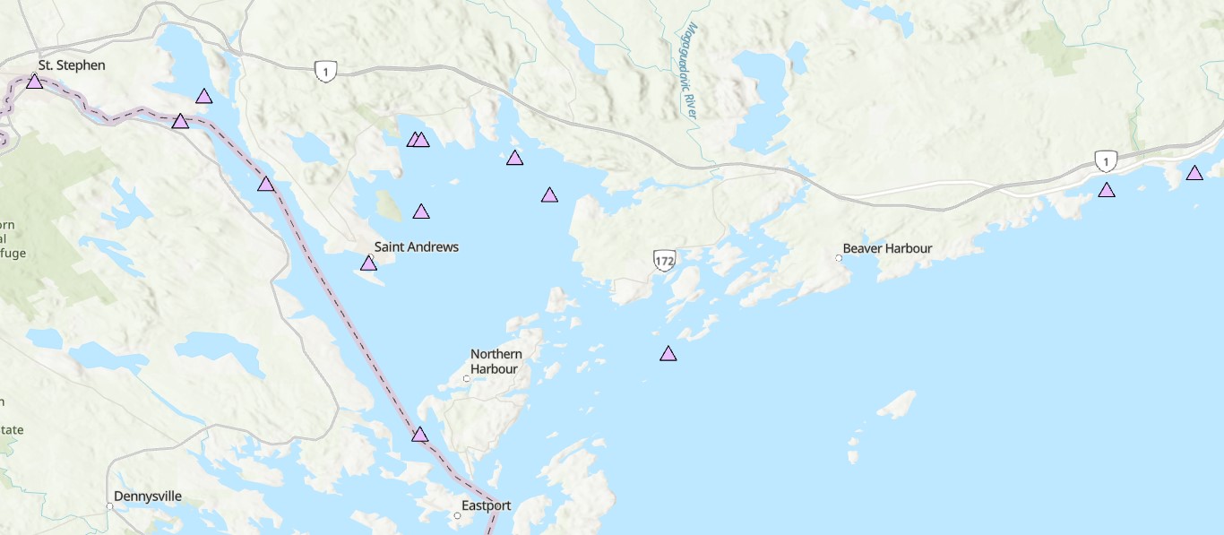
Canadian tides and water level station information, benchmarks, observed water level data, and tidal predictions. The Canadian tide and water level data archive presently holds water level observations reported from over a thousand stations, with the earliest dating back to 1848. The number of observations spans on average 6 years per station, with 60 stations measuring water levels for over 50 years. Over 800 stations are subjected to appreciable effect of tides, and for most of these stations, the Canadian Hydrographic Service (CHS) calculates and publishes predictions of the water levels associated with the vertical movement of the tide. Observations from the CHS Permanent Water Level Network are added on a daily to monthly basis. Data are also exchanged annually with the Water Survey of Canada. Each point in the map represents a station with links to observations, tidal predictions, and benchmark information, where available.