 Arctic SDI catalogue
750000
Type of resources
Available actions
Topics
Keywords
Contact for the resource
Provided by
Years
Formats
Representation types
Update frequencies
status
Scale
-
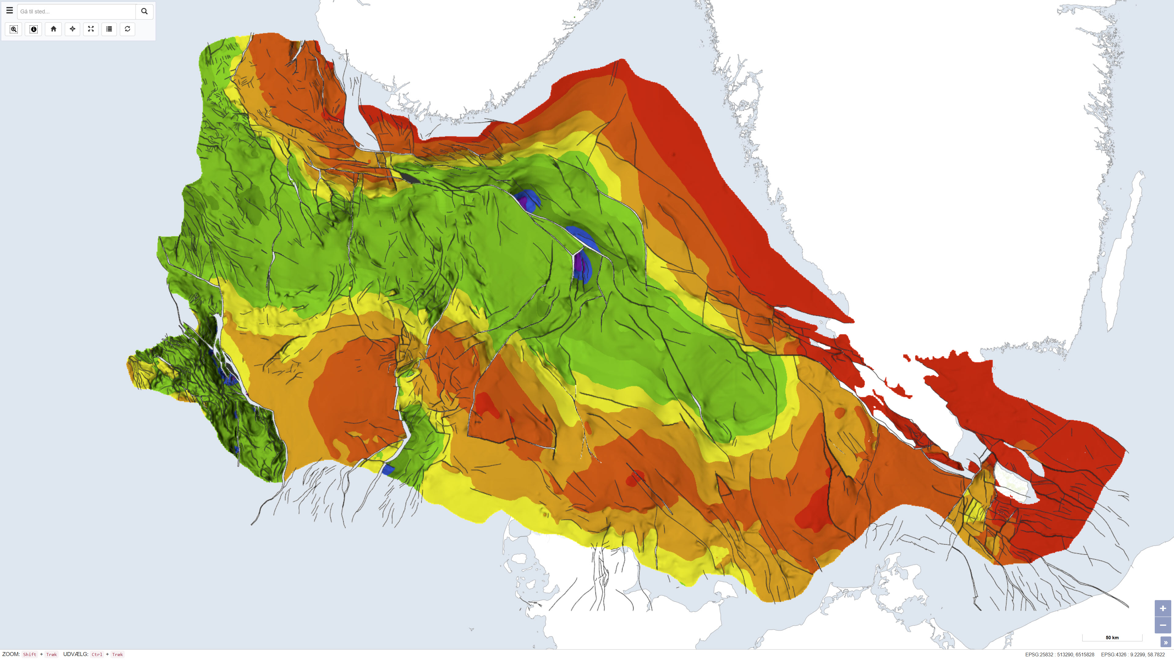
This dataset depicts the depth to the top of the pre-Zechstein succession in the Danish subsurface. The map represents the structural surface beneath the Zechstein evaporites and provides a regional overview of the geological framework of the subsurface. The dataset is based on interpretation of seismic data, deep boreholes and previous geological mapping and was produced as part of the Geological Survey of Denmark map series no. 45. The map is used as a reference for regional structural geology and subsurface modelling.
-
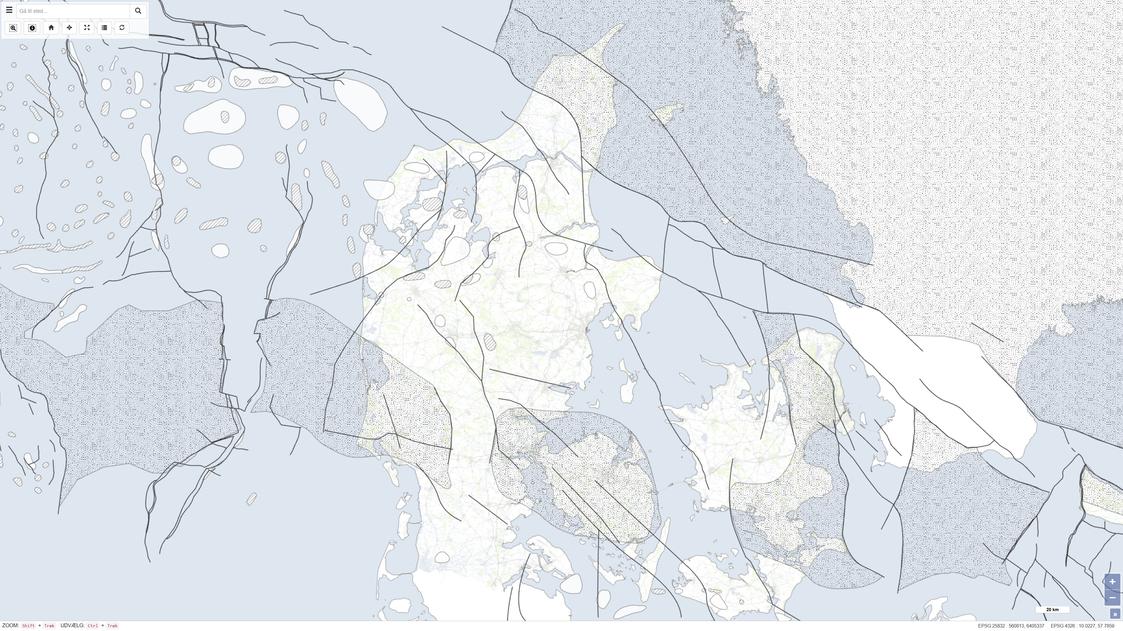
This dataset is based on the Geological Survey of Denmark map series no. 45 and represents a compiled geological map product produced in the early 1990s. The map is based on existing geological maps, seismic surveys, and previous interpretations, providing a regional overview of the geological conditions within the mapped area. The dataset forms part of the national mapping activities of the Geological Survey of Denmark and was published in 1994.
-
Kartan återger huvuddragen i regionens jordartsgeologi. Kartan är avsedd för presentation i skalområdet 1:750 000 – 1:1 miljon. Kartbilden är mycket generaliserad och jordartsindelningen förenklad. Minsta redovisade yta är knappt 1 km2. Informationen är endast avsedd att användas för översikter på storregional nivå, och bör utnyttjas med försiktighet i analyssammanhang.
-
GE.Jordarter 1:750 000, Mittnorden är en transformerad version av SGUs produkt Jordarter 1:750 000, Mittnordeni syfte att uppfylla Inspire dataspecifikation för tema Geologi genom kodning enligt GeoSciML 4.1. Produkten återger huvuddragen i regionens jordartsgeologi. Kartan är avsedd för presentation i skalområdet 1:750 000 – 1:1 miljon. Kartbilden är mycket generaliserad och jordartsindelningen förenklad. Minsta redovisade yta är knappt 1 km2. Informationen är endast avsedd att användas för översikter på storregional nivå, och bör utnyttjas med försiktighet i analyssammanhang.
-

Skannað Íslandskort í kvarðanum 1:750.000, svokallað ferðakort. Upprétt GeoTIFF mynd sem varpað var úr VisIT hugbúnaðinum þegar kortið voru gefið út á diskum.