 Arctic SDI catalogue
Greenhouse gases
Type of resources
Available actions
Topics
Keywords
Contact for the resource
Provided by
Formats
Representation types
Update frequencies
status
-

Under the Regulation Respecting the Mandatory Reporting of Certain Contaminant Emissions into the Atmosphere (RDOECA), the Ministry of the Environment, the Fight against Climate Change, Wildlife and Parks collects data on greenhouse gases (GHGs) emitted by Quebec businesses in particular. Thus, any person or municipality operating an establishment that emits GHGs into the atmosphere in a quantity equal to or greater than 10,000 metric tons in CO2 equivalent (t eq. CO2) is required to report its emissions no later than June 1 of each year. The data is presented in separate files: * Total biogenic and CO2 emissions per establishment; * Emissions per establishment and per greenhouse gas and per establishment. Total emissions files include the total quantity of GHGs, the total quantity of GHGs excluding CO2 from biomass, the quantity of CO2 from the combustion of biomass, and the quantity of CO2 from other uses of biomass (for example fermentation). The emission files by establishment and by greenhouse gas include the quantity emitted of each of the GHGs in metric tons and t eq. CO2. Note that CO2 emissions include those from biomass. The data presented in this dataset includes emissions from mandatory and voluntary reporting.**This third party metadata element was translated using an automated translation tool (Amazon Translate).**
-

The Canadian Environmental Sustainability Indicators (CESI) program provides data and information to track Canada's performance on key environmental sustainability issues. The Greenhouse gas emissions from large facilities indicator reports total greenhouse gas emissions from the largest greenhouse gas emitters in Canada for the 2024 reporting year. The Greenhouse Gas Reporting Program ensures that the greenhouse gas emissions from Canada's largest emitters are tracked and reported. This mandatory reporting contributes to the development, implementation and evaluation of climate change and energy policies and strategies in Canada. Greenhouse gas emissions data reported through the Greenhouse Gas Reporting Program are used to inform the development of estimates of greenhouse gas emissions in Canada in the National Inventory Report, and to support regulatory initiatives. Information is provided to Canadians in a number of formats including: static and interactive maps, charts and graphs, HTML and CSV data tables and downloadable reports. See the supplementary documentation for the data sources and details on how the data were collected and how the indicator was calculated. Canadian Environmental Sustainability Indicators: https://www.canada.ca/environmental-indicators
-

Polygons representing areas vulnerable to heavy rains, heat waves, destructive storms, droughts, and floods. Vulnerability corresponds to the propensity or predisposition of a system (community, infrastructure and natural environment) to suffer damage caused by the manifestation of a climatic hazard. It varies according to the nature, extent and pace of the evolution of the event as well as the variation in the climate to which the system is exposed, the sensitivity of this system and its capacity to adapt. These maps were produced as part of the implementation of the City of Montreal's [Climate Plan 2020-2030] (https://portail-m4s.s3.montreal.ca/pdf/Plan_climat%2020-16-16-VF4_VDM.pdf), which aims in particular to improve urban planning and regulatory tools. With this in mind, the City is committed to updating the climate change vulnerability analysis, initially carried out as part of the 2015-2020 Climate Change Adaptation Plan for the Agglomération de Montréal, in order to integrate it into planning and mobility approaches. The publication of this data also contributes to the annual [accountability] (https://montreal.ca/articles/plan-climat-montreal-objectif-carboneutralite-dici-2050-7613) of the Climate Plan. Each year, the City of Montreal reports on the progress of its 46 actions and the monitoring of its indicators, including the status of various climate hazards illustrated by vulnerability maps. The data can also be consulted on the [interactive map of vulnerabilities to climate hazards in the Montreal agglomeration] (https://experience.arcgis.com/experience/944e0b7104bd491591ccca829da24670/page/Page/).**This third party metadata element was translated using an automated translation tool (Amazon Translate).**
-
The Canadian Environmental Sustainability Indicators (CESI) program provides data and information to track Canada's performance on key environmental sustainability issues. The indicators show trends in anthropogenic (human-made) greenhouse gas (GHG) emissions. It includes emissions for 7 greenhouse gases (carbon dioxide, methane, nitrous oxide, sulphur hexafluoride, perfluorocarbons, hydrofluorocarbons and nitrogen trifluoride). Greenhouse gases trap heat in the Earth's atmosphere, just as the glass of a greenhouse keeps warm air inside. Human activity increases the amount of GHGs in the atmosphere, contributing to a warming of the Earth's surface. The Greenhouse gas emissions indicators are used to track the progress of Canada's efforts to lower emissions and reach environmental performance objectives. They also support decision making on sustainable development. Information is provided to Canadians in a number of formats including: static and interactive maps, charts and graphs, HTML and CSV data tables and downloadable reports. See the supplementary documentation for the data sources and details on how the data were collected and how the indicator was calculated. Canadian Environmental Sustainability Indicators: https://www.canada.ca/environmental-indicators
-
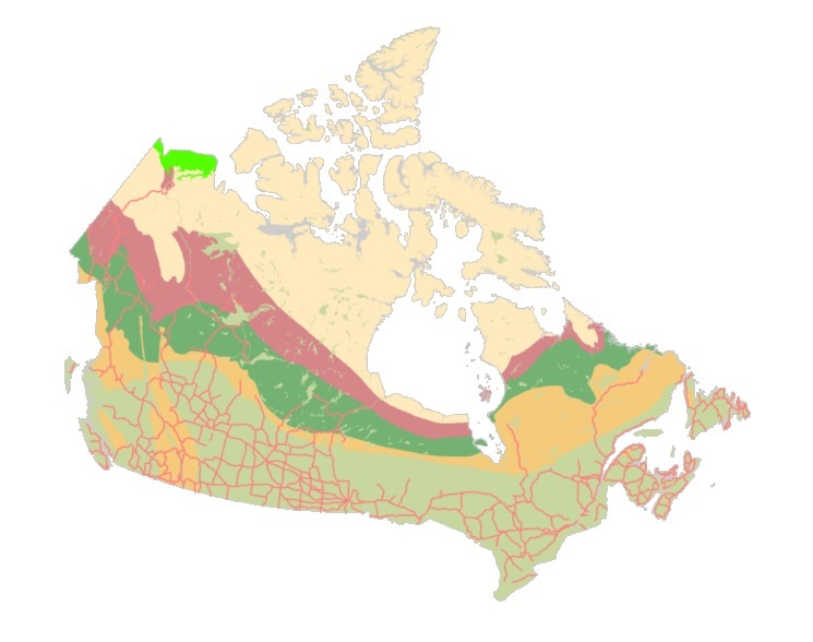
The "Starter Kits" of the Canadian Geospatial Data Infrastructure (CGDI) are curated bundles of geospatial data delivered as a service. These kits are the result of a user needs assessment commissioned by Natural Resources Canada (NRCan), with a primary focus on addressing the specific requirements of Indigenous Peoples. Within these kits, you'll discover a selection of data provided as a service from a collection of over 71,000 datasets falling under the "Nature and Environment" category sourced from CGDI's Federal and Provincial/Territorial partners. These Starter Kits have been thoughtfully crafted into four thematic or geographic areas of Canada: a) British Columbia, b) Northwest Territories, c) Climate Change across Canada, d) And Water Resources across Canada. Each of these kits represents diverse areas and data categories, offering new users a compact, comprehensive, and user-friendly gateway to explore a wide array of information provided by the CGDI.