 Arctic SDI catalogue
Internet
Type of resources
Available actions
Topics
Keywords
Contact for the resource
Provided by
Years
Formats
Representation types
Update frequencies
status
Scale
-

Gögn varðandi fastlínutengingar byggja á gögnum frá Þjóðskrá Íslands og á gögnum frá fjarskiptafélögum varðandi fjölda tenginga. Staðsetning byggir á Staðfangaskrá Þjóðskrár. Staðfang er í flestum tilfellum ein fasteign en í einhverjum tilfellum fleiri en ein. Gögnin sem hér eru birt eru staðföng sem innihalda lögheimili, vinnustað eða sumarhús. Varðandi skráningu á tengjanlegum rýmum skal fjarskiptafélag merkja staðfang tengjanlegt sé eitthvað rými innan þess tengjanlegt. Það hvort rými teljist tengjanlegt er óháð því hvort það sé í raun að nýta þá tengingu. Þörf er á góðu gagnasetti varðandi vinnustaði á landupplýsingaformi sem aðilar geta sammælst um að nota en eins og staðan er í dag ber engin stofnun ábyrgð á slíku gagnasetti. Við nýtum eins og áður segir gögn frá Þjóðskrá Íslands varðandi vinnustaði. Þjóðskrá Íslands aflar þó í raun ekki upplýsinga um vinnustaði heldur sigtar úr gögnum vissa notkunarflokka fasteigna fyrir Fjarskiptastofu. Einhverjar upplýsingar eru ekki tengjanlegar við önnur gögn og þær upplýsingar birtast því ekki á kortinu. Þetta á aðallega við um aðrar tengingar en ljósleiðaratengingar.
-

The Atlas of Canada’s Wireless Data Network map illustrates the availability of LTE and 5G wireless data service across Canada in 2024. It features an inset map and a bar graph that provide additional insights. The inset map shows the percentage of population in each province with access to 5G service. The bar graph shows the percent of population without access 5G service by year, dating back to 2020. The Atlas of Canada Wireless Data Network map is shown at a scale of 1:6 000 000. It is part of the new Atlas of Canada series, which features a shared look and feel across all map products to ensure consistency in design and layout. This map supports the Communication and Transportation theme, one of five core themes featured in the renewed Atlas of Canada web presence at atlas.gc.ca. The common design helps make Atlas of Canada products easier to read, compare, and use together across the Atlas collection. Use the Atlas of Canada site to find places, digital maps, facts, geographical information and learning resources about Canada. Source: Canadian Radio-television and Telecommunications Commission (CRTC), 2024.Current trends - Mobile wireless. https://crtc.gc.ca/eng/publications/reports/PolicyMonitoring/mob.htm If you have questions about CRTC data, e-mail info@crtc.gc.ca. Produced by the Canada Centre for Mapping and Earth Observation, the Geoscience and Earth Monitoring Sector, Natural Resources Canada. 2025.
-

Mapping of public wireless Internet access points (ZAPs) in Quebec City.**This third party metadata element was translated using an automated translation tool (Amazon Translate).**
-

The Atlas of Canada High Speed Internet Network map illustrates the availability of high-speed internet across Canada in 2024. High speed internet service is broken up into 4 download speeds in Megabits per second. 25 Mbps, 50 Mbps, 100 Mbps, and Gigabit (940 Mbps). It features an inset map and a bar graph that provide additional insights. The inset map shows the percentage of population in each province with access to 50 Mbps internet. The bar graph shows the percent of population without access 50 Mbps internet by year, dating back to 2018. The Atlas of Canada High Speed Internet Network map is shown at a scale of 1:6 000 000. It is part of the new Atlas of Canada series, which features a shared look and feel across all map products to ensure consistency in design and layout. This map supports the Communication and Transportation theme, one of five core themes featured in the renewed Atlas of Canada web presence at atlas.gc.ca. The common design helps make Atlas of Canada products easier to read, compare, and use together across the Atlas collection Use the Atlas of Canada site to find places, digital maps, facts, geographical information and learning resources about Canada. Source: Canadian Radio-television and Telecommunications Commission (CRTC), 2025. Current trends - High-speed broadband. https://crtc.gc.ca/eng/publications/reports/PolicyMonitoring/ban.htm If you have questions about CRTC data, e-mail info@crtc.gc.ca. Produced by the Canada Centre for Mapping and Earth Observation, the Geoscience and Earth Monitoring Sector, Natural Resources Canada. 2025.
-

Location of areas where wireless Internet is offered free of charge by the City of Repentigny.**This third party metadata element was translated using an automated translation tool (Amazon Translate).**
-
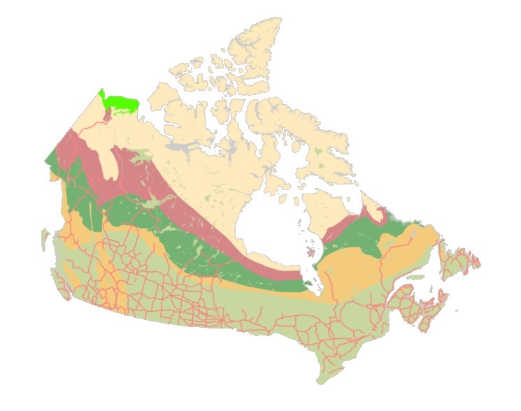
The "Starter Kits" of the Canadian Geospatial Data Infrastructure (CGDI) are curated bundles of geospatial data delivered as a service. These kits are the result of a user needs assessment commissioned by Natural Resources Canada (NRCan), with a primary focus on addressing the specific requirements of Indigenous Peoples. Within these kits, you'll discover a selection of data provided as a service from a collection of over 71,000 datasets falling under the "Nature and Environment" category sourced from CGDI's Federal and Provincial/Territorial partners. These Starter Kits have been thoughtfully crafted into four thematic or geographic areas of Canada: a) British Columbia, b) Northwest Territories, c) Climate Change across Canada, d) And Water Resources across Canada. Each of these kits represents diverse areas and data categories, offering new users a compact, comprehensive, and user-friendly gateway to explore a wide array of information provided by the CGDI.
-

The Indigenous Community Infrastructure dataset depicts infrastructure projects across Canada that are supported by Indigenous Services Canada (ISC) targeted infrastructure funding. It contains data related to project category, description, status, departmental investment and community. The dataset allows the Department to pinpoint and share information about individual infrastructure projects in Indigenous communities, in a proactive and transparent manner, to: • Showcase where and how investments are carried out • Demonstrate the Government’s commitment to address socio-economic gaps between Indigenous and non-Indigenous communities in Canada and improve access to high-quality services Projects featured in this Indigenous Community Infrastructure dataset are updated on a quarterly basis. Because some projects will benefit more than one community, the number of projects does not match the number of markers on the map or of entries in the dataset. For more information, visit https://www.sac-isc.gc.ca/eng/1526995988708/1526996020578.