 Arctic SDI catalogue
Nitrogen
Type of resources
Available actions
Topics
Keywords
Contact for the resource
Provided by
Years
Formats
Representation types
Update frequencies
status
Scale
-
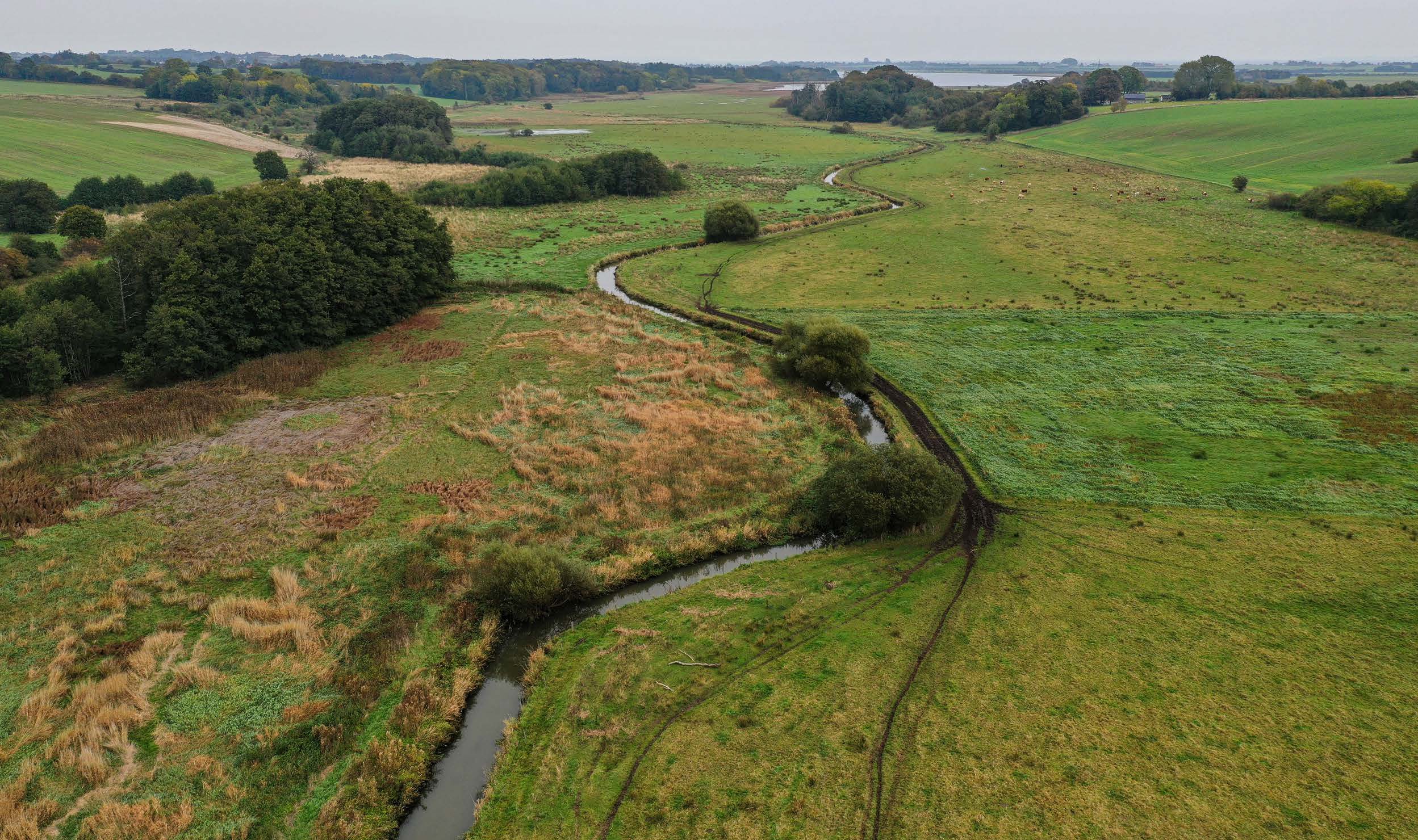
This repository contains three national nitrogen retention maps for Denmark and associated uncertainties. “TotalRetention_regioner.tif” is the total retention (nitrogen removal) from the source location to the coast, “Grundvandsretention_regioner.tif” is the retention during transport in the groundwater and “Overfladevandsretention.tif” is the retention in the surface water system, i.e. streams, lakes, wetlands and inundated areas. The maps for the total and groundwater retention are aggregated from a 100 m grid into regions with a minimum size of 50 ha based on similarity between neighbouring grids. For surface water, the spatial resolution is defined as the contribution catchment discharging to the individual retention environments, e.g. a lake catchment. The total retention is supplemented by two maps “TotalRetention_usikkerhed_regioner.tif” showing the uncertainty in the total retention estimated for each region and “TotalRetention_standardafvigelse_regioner.tif” displaying the standard deviation between the individual grids within each region. All maps are calculated using data for the period 2000 – 2021. The nitrogen retention maps have been developed in a collaboration between GEUS and Aarhus University. (2025-08-29).
-
Tidserie av tillförsel av kväve via vattendrag och punktkällor till svenska kusten
-

This data layer presents the results of a modeling of net anthropogenic inputs of nitrogen and phosphorus (NANI/NAPI) carried out by Professor Roxane Maranger and Stéphanie Shousha from the University of Montreal as part of a partnership with the Ministry of the Environment, the Fight against Climate Change, Wildlife and Parks (MELCCFP). The modeling was carried out using the Net Anthropogenic Nitrogen/Phosphorus Input method applied for the first time in Quebec by ([Goyette et al., 2016]) (https://can01.safelinks.protection.outlook.com/?url=https%3A%2F%2Fagupubs.onlinelibrary.wiley.com%2Fdoi%2F10.1002%2F2016GB005384&data=05%7C02%7CAntoine.Prince%40environnement.gouv.qc.ca%7Ce9a3e849691c4a3f9bc008de4e23f624%7C4262d4ec5a674957abb6bf78aca6a6f5%7C0%7C0%7C639034113587157844%7CUnknown%7CTWFpbGZsb3d8eyJFbXB0eU1hcGkiOnRydWUsIlYiOiIwLjAuMDAwMCIsIlAiOiJXaW4zMiIsIkFOIjoiTWFpbCIsIldUIjoyfQ%3D%3D%7C 0% 7C%7C%7C&sdata=a7ktxc6ea9u4thdsbor9ojrkspdjgwno%2Fbaizkkkuaq%3D&reserved=0)) then refined in ([Shousha & Maranger, 2024] (https://can01.safelinks.protection.outlook.com/?url=https%3A%2F%2Fbesjournals.onlinelibrary.wiley.com%2Fdoi%2Ffull%2F10.1111%2F1365-2664.14733&data=05%7C02%7CAntoine.Prince%40environnement.gouv.qc.ca%7Ce9a3e849691c4a3f9bc008de4e23f624%7C4262d4ec5a674957abb6bf78aca6a6f5%7C0%7C0%7C639034113587193473%7CUnknown%7CTWFpbGZsb3d8eyJFbXB0eU1hcGkiOnRydWUsIlYiOiIwLjAuMDAwMCIsIlAiOiJXaW4zMiIsIkFOIjoiTWFpbCIsIldUIjoyfQ%3D%3D%7C0%7C%7C%7C&sdata=AdT31R8 IHMEEYRZZ1HGMTRTUAEE8XMRMAQBRNAUJDN 4% 3D&reserved=0)). The model is based on the premise that a region imports nitrogen and phosphorus to support its population and agricultural activities.**This third party metadata element was translated using an automated translation tool (Amazon Translate).**