 Arctic SDI catalogue
Urban environment
Type of resources
Available actions
Topics
Keywords
Contact for the resource
Provided by
Formats
Representation types
Update frequencies
status
-
To identify the overall reach and configuration of the Capital Pathway, show the location of existing pathways (as of 2020) and proposed pathway segments, and distinguish between discovery routes and feeder links. Capital Pathway Strategic Plan, October 2020 https://ncc-website-2.s3.amazonaws.com/documents/Pathways-BOOK-10-15-2020-EN_Final_Compressed.pdf
-
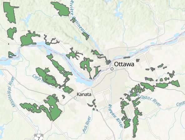
The Ecological Land Mass (ELM) classification was established through the 2020 National Interest Land Mass (NILM) Update. ELM lands describe ecological corridors that have inherent natural values and that protect Species at Risk (SAR) and their habitats. The classification identifies lands to protect in perpetuity through planning and partnership efforts. ELM was derived from two separate analyses - the Ontario side from the AECOM natural linkages analysis (2012) and the Quebec side from Del Degan, Masse (DDM) ecological corridors analysis (2012). Adjustments were made as appropriate.
-
The National Interest Land Mass (NILM) comprises a set of lands (mainly-NCC owned) considered essential to the functioning and experience of Canada's Capital. The NILM is the dominant tool guiding federal land management and ownership in support of Capital functions. The NILM was approved by Treasury Board in 1998 and the first update was approved in 2001. The 2020 NILM Update is the second update.
-

Geospatial data for public transit agencies in Canada, with information on stop locations, route locations, route types, level of service, wheel chair access, bike access, and more.
-

The Indigenous Community Infrastructure dataset depicts infrastructure projects across Canada that are supported by Indigenous Services Canada (ISC) targeted infrastructure funding. It contains data related to project category, description, status, departmental investment and community. The dataset allows the Department to pinpoint and share information about individual infrastructure projects in Indigenous communities, in a proactive and transparent manner, to: • Showcase where and how investments are carried out • Demonstrate the Government’s commitment to address socio-economic gaps between Indigenous and non-Indigenous communities in Canada and improve access to high-quality services Projects featured in this Indigenous Community Infrastructure dataset are updated on a quarterly basis. Because some projects will benefit more than one community, the number of projects does not match the number of markers on the map or of entries in the dataset. For more information, visit https://www.sac-isc.gc.ca/eng/1526995988708/1526996020578.