 Arctic SDI catalogue
Recreation
Type of resources
Available actions
Topics
Keywords
Contact for the resource
Provided by
Years
Formats
Representation types
Update frequencies
status
Service types
-
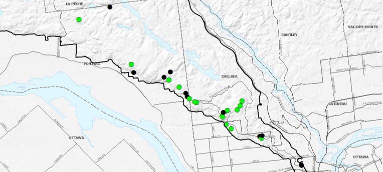
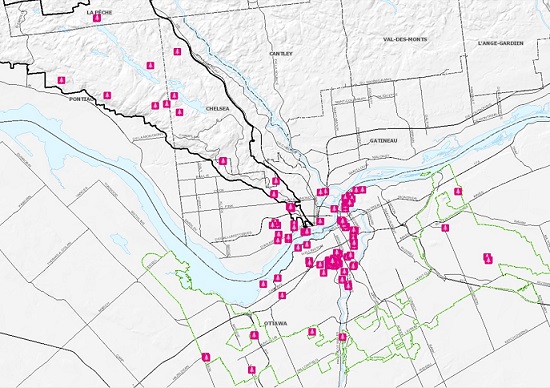
Locations of scenic points already existing and potential in the Gatineau Park borders.
-
This line layer describes trails for which Parks Canada has a responsibility. This includes trails found in national parks, national historic sites, and national marine conservation areas. It includes data that will be exported for public-facing applications and data that will NOT be shared with the public (controlled by the Suppress_Public attribute). This layer is cartographic and does not contain linear referencing or network information.
-
Delimited area of the Greenbelt as of 2013.
-
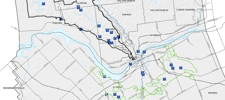
Lines representing where recreational pathways, trails, parkways, and forest roads owned and/or maintained by the NCC are located.
-
Identification of the NCC's public picnic areas. Picnic tables present, some larger locations have shelters. https://ncc-ccn.gc.ca/places/picnicking https://ncc-ccn.gc.ca/places/picnicking-greenbelt
-
In celebration of the tremendous diversity of tree species that tell the story of our culture and history, the NCC released in September 2020 a compilation of close to 170 remarkable trees across Canada’s Capital region entitled A Living Legacy: Remarkable Trees of Canada’s Capital. An interactive map and downloadable book are available for free on the NCC’s website and will allow the public to discover distinctive features of these trees, revealing a story of the beauty of our natural heritage through the rich diversity of species thriving within Canada’s Capital. This compilation features trees according to their commonalities, which can include their physical relationship with the land, the fact that they were a source of food for Indigenous peoples, or for their contribution to the forest industry. https://ncc-ccn.gc.ca/remarkable-trees https://ncc-ccn.maps.arcgis.com/apps/MapJournal/index.html?appid=a9ba98fb7e8b4c2ba9be337235b95291
-

This dataset contains spatial and tabular data on non-archaeological historic trails in B.C. Some of these trails, or sections of trail, are defined or protected under provincial legislation such as the Heritage Conservation Act. Other trails or trail segments are recorded but not legally protected. This dataset represents polygon feature data (e.g. cleared areas associated with trails).
-
This dataset contains spatial and tabular data on non-archaeological historic trails in B.C. Some of these trails, or sections of trail, are defined or protected under provincial legislation such as the Heritage Conservation Act. Other trails or trail segments are recorded but not legally protected. This dataset represents line feature data (e.g. trail routes).
-
This dataset contains spatial and tabular data on non-archaeological historic trails in B.C. Some of these trails, or sections of trail, are defined or protected under provincial legislation such as the Heritage Conservation Act. Other trails or trail segments are recorded but not legally protected. This dataset represents point feature data (e.g. cabins, landmarks).
-

The Waterfront Route is made up of ancient roads along the St. Lawrence, Lake Saint-Louis, Lac des Deux Montagnes, Rivière des Prairies, the Lachine Canal and the Aqueduct Canal. 180 kilometers long, it is punctuated by more than 1000 heritage elements that evoke the major pages of Montreal's history. Heritage buildings and complexes, maritime infrastructures, nautical equipment, parks and shoreline walks, views of bodies of water, coastal landscapes, natural environments and archaeological sites follow one another. Each of the heritage elements is associated with a historical theme: * The Montreal archipelago and the Native American presence * Rivers to trade and settle * Agricultural villages * Water, a resource to be exploited and controlled * Workers' villages * The shores, spaces for well-being and leisure * The parks on the banks * Water, an obstacle to be crossed by bridges and crossings * Transit villages * Other notable items not related to historical themes An [interactive map] (https://montreal.ca/articles/le-parcours-riverain-22677) is available to explore waterfront routes on Montreal Island.**This third party metadata element was translated using an automated translation tool (Amazon Translate).**