 Arctic SDI catalogue
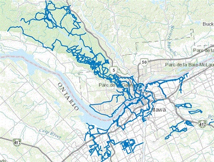
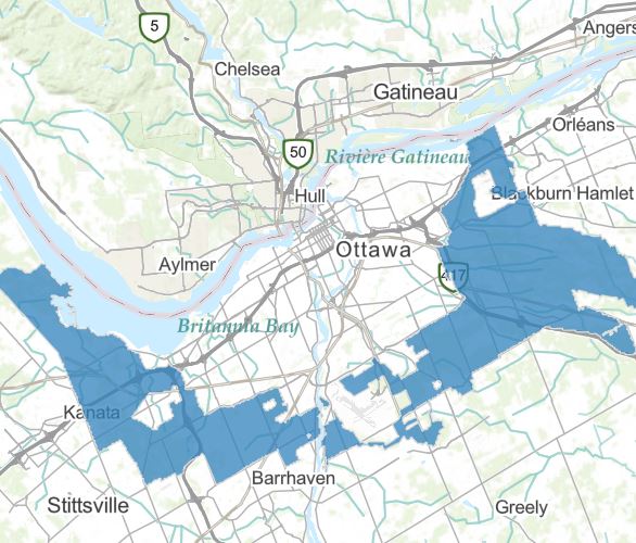
trails
Type of resources
Topics
Keywords
Contact for the resource
Provided by
Formats
Representation types
Update frequencies
status
-
Lines representing where recreational pathways, trails, parkways, and forest roads owned and/or maintained by the NCC are located.
-
Delimited area of the Greenbelt as of 2013.
-

Boundaries for Yukon regional land use planning. Boundaries are subject to revision as Government and Yukon First Nations agree to commence regional planning. Once appointed and operating, regional land use planning commissions are to develop and recommend a regional land use plan for their region. Yukon Government and affected First Nations will then approve and implement the plan. For more information, please refer to [https://planyukon.ca/index.php/resources/planning-regions](https://imsva91-ctp.trendmicro.com:443/wis/clicktime/v1/query?url=http%3a%2f%2fplanyukon.ca%2findex.php%2fresources%2fplanning%2dregions&umid=6F25C300-8990-EC05-B9CB-56B31836836C&auth=c132af8ee7c9d1278d61a701569070a095ce962e-59acfdec1b910392e8b8e2e1daecb2cc00dab07f) Distributed from [GeoYukon](https://yukon.ca/geoyukon) by the [Government of Yukon](https://yukon.ca/maps) . Discover more digital map data and interactive maps from Yukon's digital map data collection. For more information: [geomatics.help@yukon.ca](mailto:geomatics.help@yukon.ca)
-
This dataset identifies locations of wilderness tourism trails. This is not a complete or up to date dataset. Distributed from [GeoYukon](https://yukon.ca/geoyukon) by the [Government of Yukon](https://yukon.ca/maps) . Discover more digital map data and interactive maps from Yukon's digital map data collection. For more information: [geomatics.help@yukon.ca](mailto:geomatics.help@yukon.ca)
-

Web app showing locations and current conditions of trails and recreation areas designated for winter use in Manitoba provincial parks. This is a web app showing locations and current conditions of trails and recreation areas designated for winter use in Manitoba provincial parks. The current conditions of these features can be found in the pop-up information for each location, along with a list of designated activities for the feature. Activities include walking, skiing, skate skiing, skijoring, dog sledding, ice skating, fat biking, tobogganing, snowshoeing, and jam-pail curling. The app includes a filter to narrow the results by activity. This app uses the interactive map Manitoba Parks - Winter Activity Trails Map, and the layers Manitoba Parks - Winter Trails and Recreation Areas and Manitoba Parks - Winter Recreation Trails. For more information on winter activities, visit the Manitoba Parks website.
-
Point feature layer showing the locations of winter trail and recreation areas in Manitoba's provincial parks. Point feature layer showing the locations of winter trail and recreation areas in Manitoba's provincial parks. This layer is utilized in the interactive map Manitoba Parks - Winter Activity Trails Map and the web app Manitoba Parks - Winter Trails and Recreation Areas. The dataset includes the following fields (Alias (Name): Description) Park (Park): Name of the provincial park where the trail or recreation area is located Feature (Feature): Name of the trail or recreation area Activity (Activity): Contains a list of activities designated for the trail Length (Length): Length of the trail in kilometres Groom Date (Groom_Date): Date of the most recent grooming of the trail Rating (Rating): An overall rating of the trail or recreation area given the current conditions. (e.g., Excellent, Good, Fair, Poor, Closed, or Unknown) Trail Condition (Trail_Condition): This field contains a description of the current conditions of the trail or recreation area Additional Remarks (Additional_Remarks): Contains any other related information about the trail or recreation area PDF Link (PDF_Link): Contains a url link to a pdf map or website Ski (Ski): Indicates whether the activity is allowed and provides a way to filter the map features Skijor (Skijor): Indicates whether the activity is allowed and provides a way to filter the map features Walk (Walk): Indicates whether the activity is allowed and provides a way to filter the map features Skate Ski (Skate_Ski): Indicates whether the activity is allowed and provides a way to filter the map features Snowshoe (Snowshoe): Indicates whether the activity is allowed and provides a way to filter the map features Toboggan (Toboggan): Indicates whether the activity is allowed and provides a way to filter the map features Dog Sled (Dog_Sled): Indicates whether the activity is allowed and provides a way to filter the map features For more information about winter activities, visit the Manitoba Parks website.
-
North Yukon Planning Region Land Management Units Distributed from [GeoYukon](https://yukon.ca/geoyukon) by the [Government of Yukon](https://yukon.ca/maps) . Discover more digital map data and interactive maps from Yukon's digital map data collection. For more information: [geomatics.help@yukon.ca](mailto:geomatics.help@yukon.ca)
-
All 1:50,000 NTDB transportation features including roads, trails, and railways Based on Edition 2.x. Distributed from [GeoYukon](https://yukon.ca/geoyukon) by the [Government of Yukon](https://yukon.ca/maps) . Discover more digital map data and interactive maps from Yukon's digital map data collection. For more information: [geomatics.help@yukon.ca](mailto:geomatics.help@yukon.ca)
-
All 1:250,000 NTDB Transportation features including roads, trails, and railways. Distributed from [GeoYukon](https://yukon.ca/geoyukon) by the [Government of Yukon](https://yukon.ca/maps) . Discover more digital map data and interactive maps from Yukon's digital map data collection. For more information: [geomatics.help@yukon.ca](mailto:geomatics.help@yukon.ca)