 Arctic SDI catalogue
oil and gas
Type of resources
Available actions
Topics
Keywords
Contact for the resource
Provided by
Formats
Representation types
Update frequencies
status
-

Listing of petroleum wells drilled onshore in NS as of February 1, 2016.
-
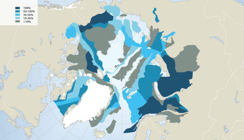
Extensive oil and gas activity has occurred in the Arctic, primarily land-based, with Russia extracting 80% of the oil and 99% of the gas to date (AMAP 2008). Furthermore, the Arctic still contains large petroleum hydrocarbon reserves and potentially holds one fifth of the world’s yet undiscovered resources, according to the US Geological Survey (USGS 2008) (Fig. 14.4). While much of the currently known Arctic oil and gas reserves are in Russia (75% of oil and 90% of gas; AMAP 2008), more than half of the estimated undiscovered Arctic oil reserves are in Alaska (offshore and onshore), the Amerasian Basin (offshore north of the Beaufort Sea) and in W and E Greenland (offshore). More than 70% of the Arctic undiscovered natural gas is estimated to be located in the W Siberian Basin (Yamal Peninsula and offshore in the Kara Sea), the E Barents Basin and in Alaska (offshore and onshore) (AMSA 2009). Associated with future exploration and development, each of these regions would require vastly expanded Arctic marine operations, and several regions such as offshore Greenland would require fully developed Arctic marine transport systems to carry hydrocarbons to global markets. In this context, regions of high interest for economic development face cumulative environmental pressure from anthropogenic activities such as hydrocarbon exploitation locally, together with global changes associated with climatic and oceanographic trends. Conservation of Arctic Flora and Fauna, CAFF 2013 - Akureyri . Arctic Biodiversity Assessment. Status and Trends in Arctic biodiversity. - Marine ecosystems (Chapter 14 - page 501). Figure adapted from the USGS
-

Offshore Oil and Gias exporation Potential
-
Tenure Areas are geographic administrative areas named for local features and used to group petroleum and natural gas Land Plats situated within the same local geographic area.
-
The area of Crown land disturbance for applications falling within a Ministry of Transportation and Infrastructure (MOTI) road allowance. The BC Energy Regulator issues cutting permits for any new Crown land disturbance within MOTI unconstructed road allowances. The Regulator does not issue land tenure over MOTI right of ways. This dataset contains polygon features for proposed applications collected through the Regulator's Application Management System (AMS). This dataset is updated nightly.
-
The locations of coastal British Columbia offshore oil and gas seismic profiles. There has not been any seismic done in the Queen Charlotte Basin since 1972. There currently exists a moreatorium on Oil and Gas exploration so there are no plans to do any more until the moratorium is lifter. The seismic lines in this data layer are surveys which were done over 45 years ago, in single passes. The attribute data for the polylines refers to interpretations done in 1988, which are still accessible via the web-links.
-
Spatial data for approved and post construction features for Canada Energy Regulator (CER) related ancillary features and Energy Resources Activities Act (ERAA) associated oil and gas activities collected on or after October 30, 2006. Associated oil and gas activities are related activities which require the use of Crown land and require an authorization under either the Land Act or the Petroleum and Natural Gas Act. The dataset includes polygon features such as campsites, workspaces, deck sites, staging areas, and other temporary disturbances. This dataset is updated nightly.
-
Pipeline centre-lines associated with oil and gas pipeline activity and falling within the area representing the pipeline right of way. This dataset contains line features collected on or after July 11, 2016 for approved pipeline centre-line locations. The dataset is updated nightly.
-
Land Plats illustrate in map view the oil or gas Spacing Areas delimited in a pool, and names the geological formation in which the pool is recognised. Land Plats are the sole official record of where the Director of PandNG Titles Branch recognizes a pool of hydrocarbons to exist for the purpose of administering oil and gas title
-
Land authorizations representing the road right of way for road activities. The spatial data includes polygon data for approved and post-construction road rights of way collected on or after October 30, 2006. This dataset is updated nightly.