 Arctic SDI catalogue
Mineral exploration
Type of resources
Available actions
Topics
Keywords
Contact for the resource
Provided by
Formats
Representation types
Update frequencies
status
Scale
-
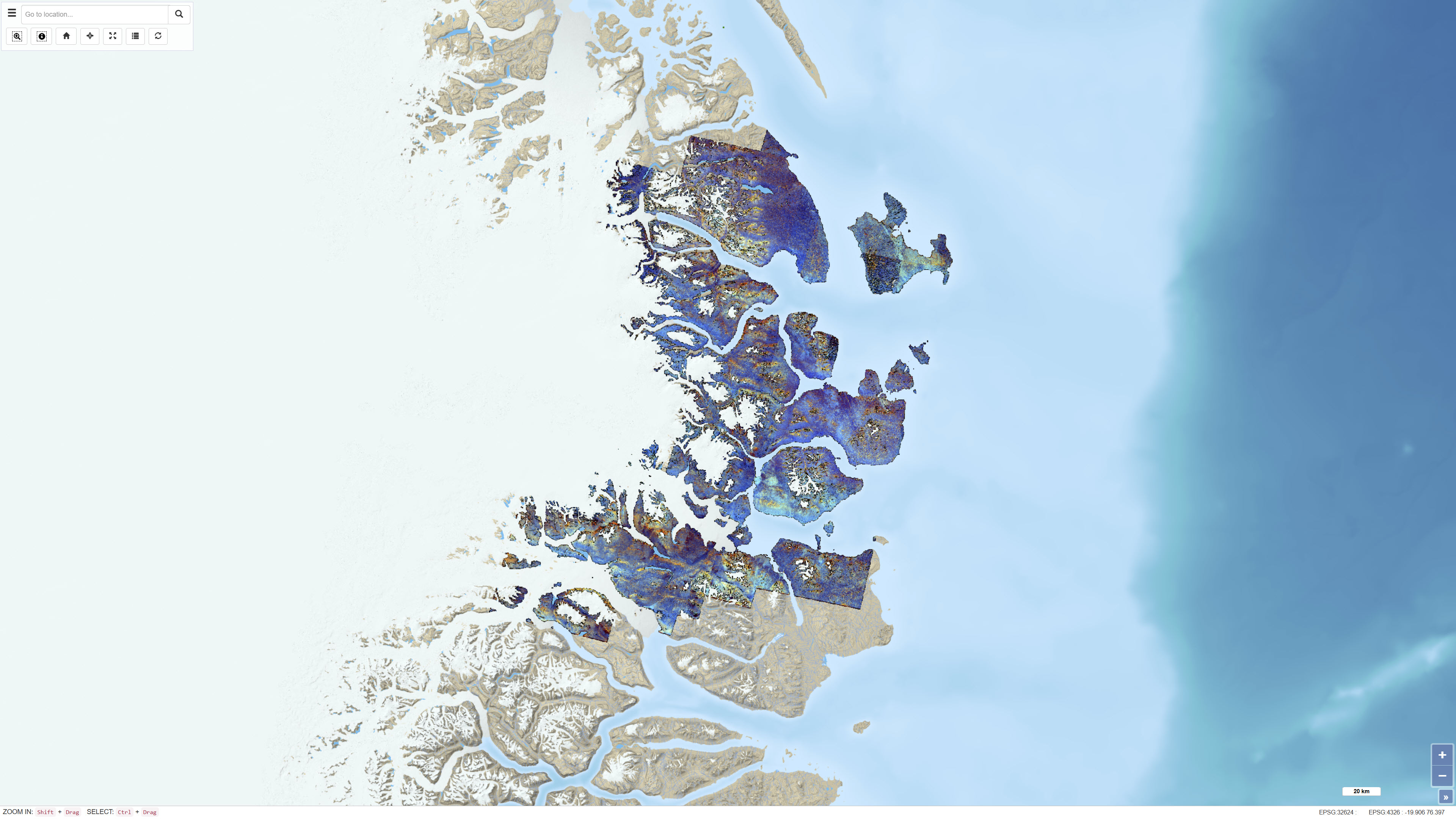
The dataset consists of a series of ASTER band ratios combined into colour composite images designed to highlight mineralogical distributions and lithological variability in Northeast Greenland. The ASTER scenes were preprocessed with atmospheric, radiometric and topographic corrections, including radiative transfer modelling using ATCOR-3 in rugged terrain mode. A surface elevation model was applied to adjust illumination effects. Non-outcrop pixels were masked prior to generating the final mosaic. Calibrated radiance data were converted to apparent surface reflectance; however, further calibration against ground-based reflectance measurements was not feasible. The dataset represents a derived remote sensing product and not primary satellite data.
-
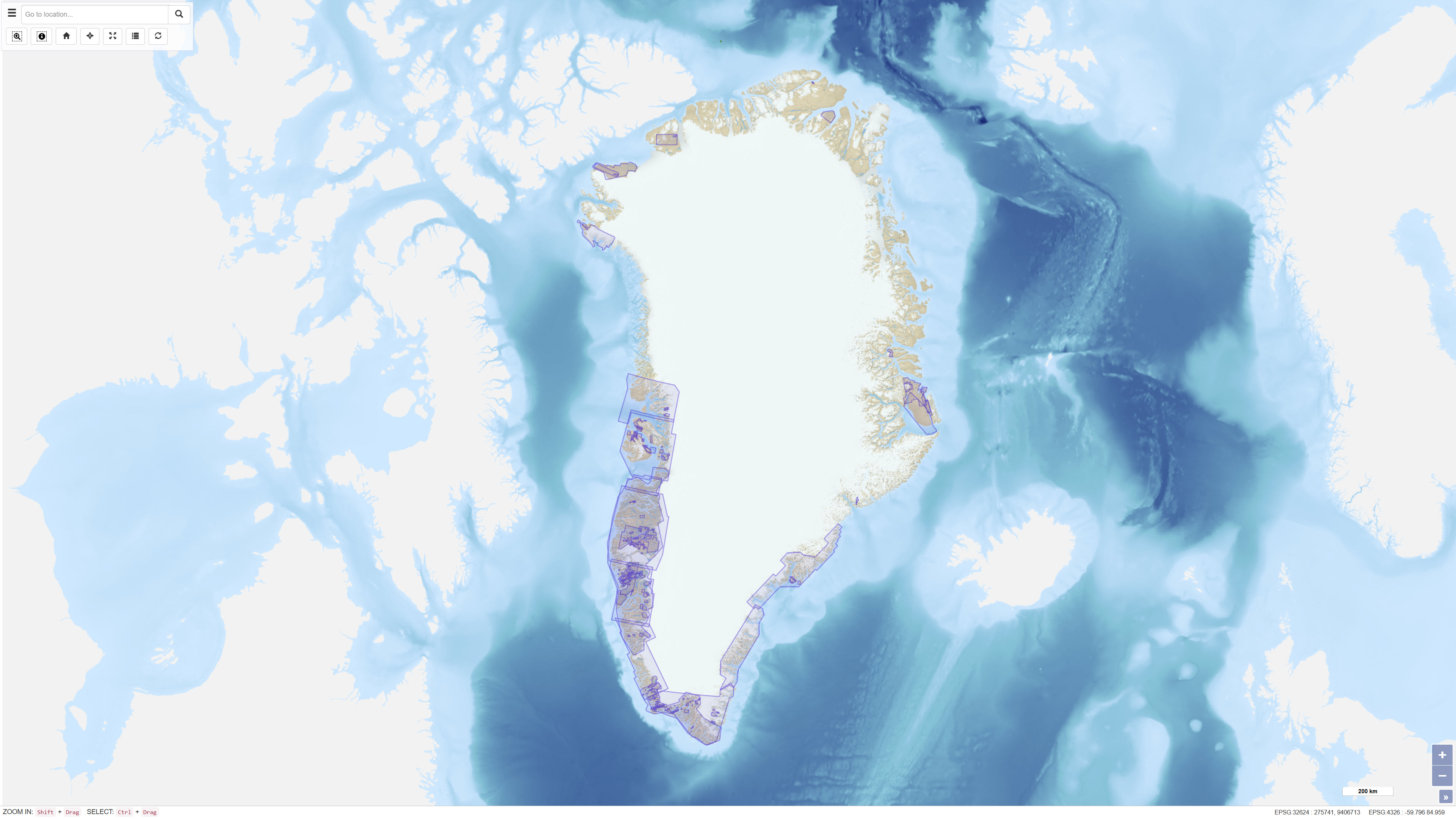
This dataset provides access to non-confidential mineral exploration licence reports and other geoscientific reports submitted to the Greenlandic authorities in accordance with the Mineral Resources Act of Greenland (effective 1 January 2010) and associated regulations. The reports are subsequently transferred to GEUS for archiving and dissemination. The database allows users to search reports using alphanumeric and geographic criteria, to access report metadata and to download available reports as PDF files. The dataset supports transparency and accessibility of geoscientific information related to mineral exploration activities in Greenland.
-
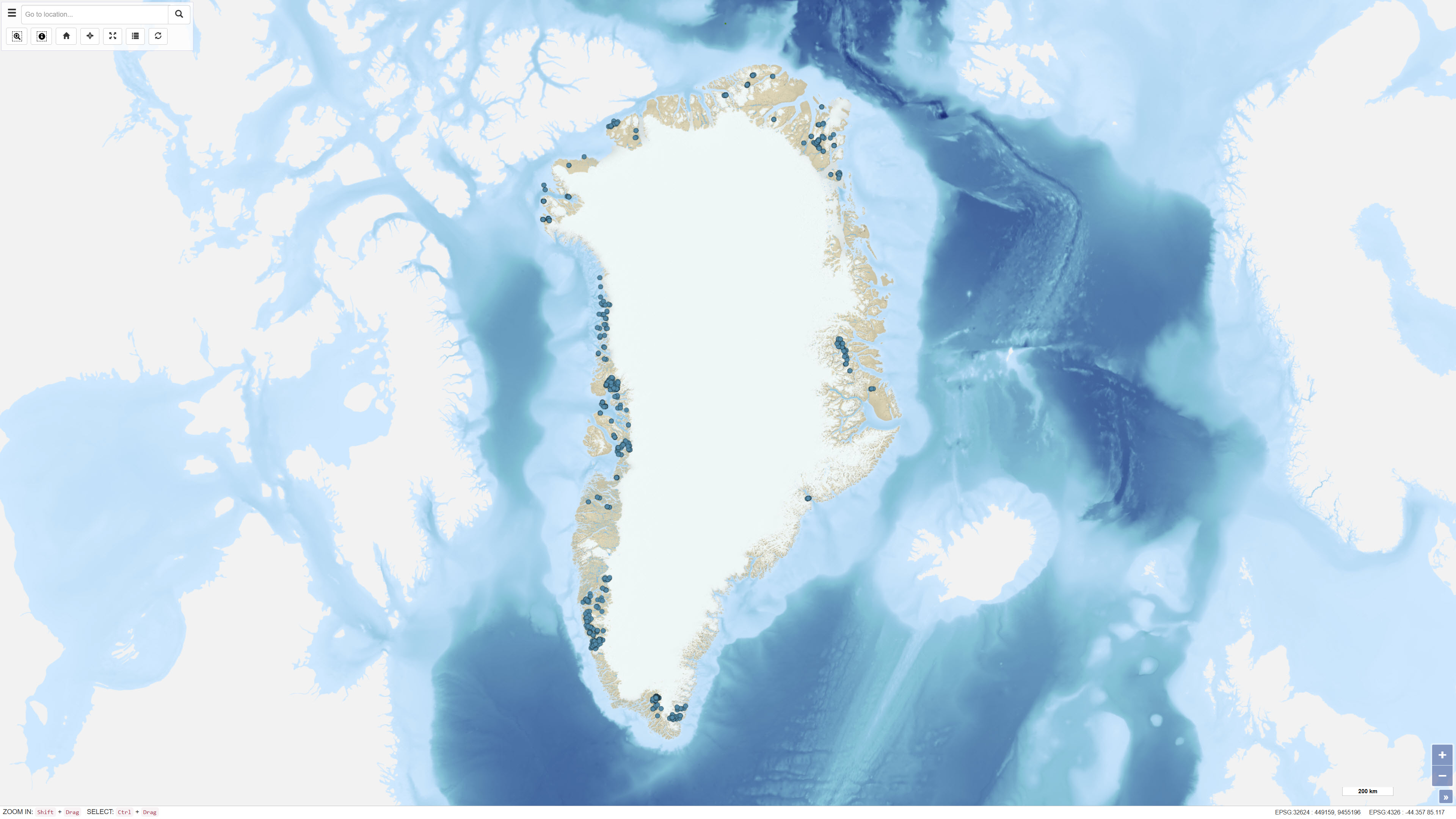
The dataset contains a summary of geological information for known mineral occurrence regions in Greenland. The information includes the geographic location, size, mineral commodities, mineralisation type, exploration history and a geological description of each occurrence or deposit. The data have been collected and compiled from field investigations conducted by geological surveys, academic researchers and mineral exploration companies. The dataset represents a regional synthesis of mineral occurrence information and provides an overview of the spatial distribution and geological context of known mineral resources in Greenland.
-
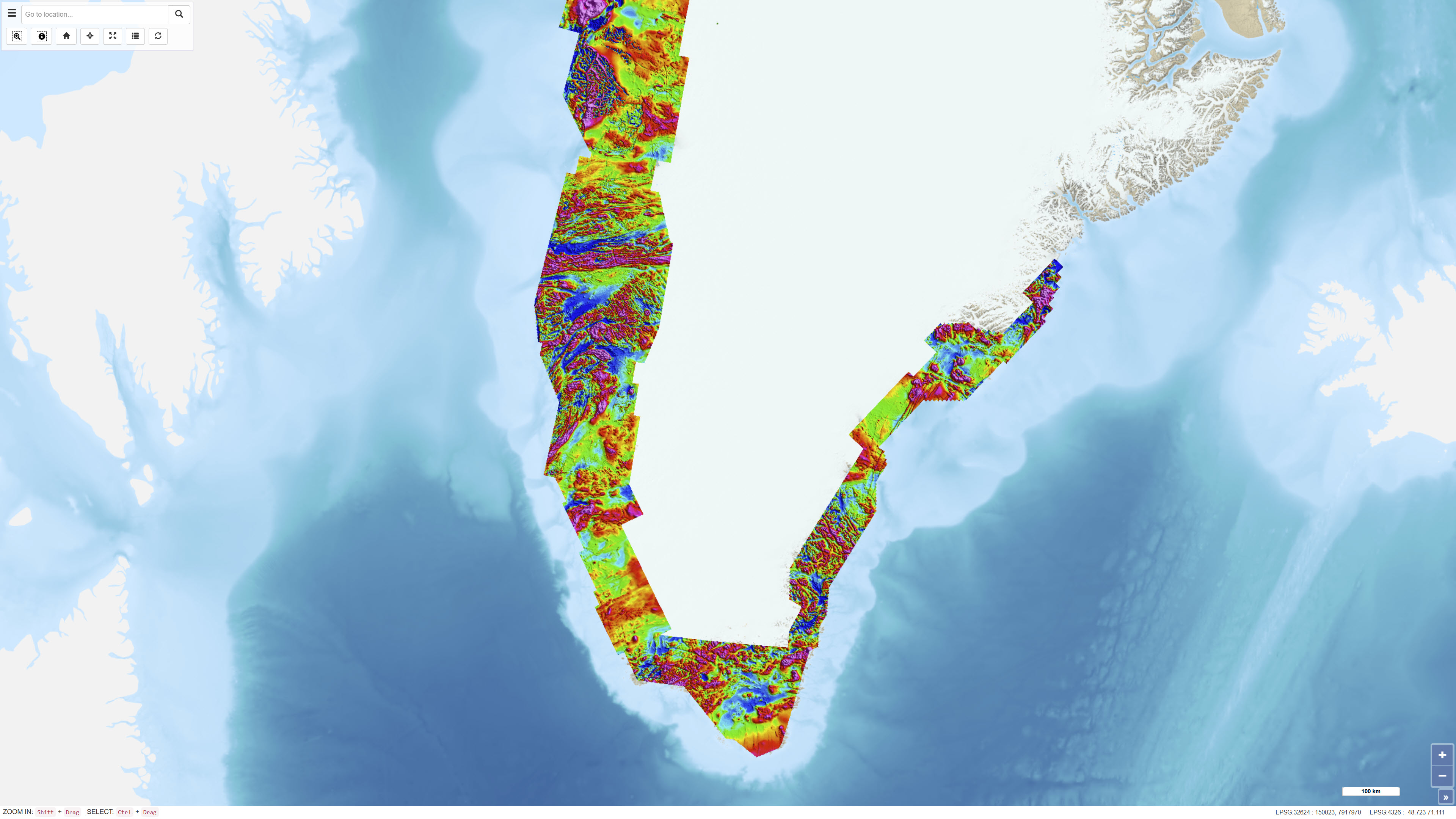
The Regional AEROMAG 1992–2013 Surveys comprise a compilation of high-resolution airborne magnetic surveys acquired by GGU/GEUS between 1993 and 2013 and financed by the Government of Greenland. The overlapping surveys cover approximately 300,000 km² and include the total ice-free onshore areas and near-coastal offshore regions of West Greenland, South Greenland and southern East Greenland. All surveys were acquired using aircraft with similar flight parameters, including line spacings of 500–1,000 m and cross-line spacing of approximately 5,000 m, and with flight altitudes of about 300 m above ground level or seafloor along gently draped surfaces. These consistent acquisition parameters allow the individual surveys to be integrated into a coherent, high-quality regional magnetic data compilation. The total magnetic anomaly map was generated by merging grids from separately processed datasets using the grid-knitting module in Oasis Montaj. The data are IGRF-corrected but not reduced to the pole, and the crustal magnetic field model MF7 was used as a regional reference grid during compilation.
-
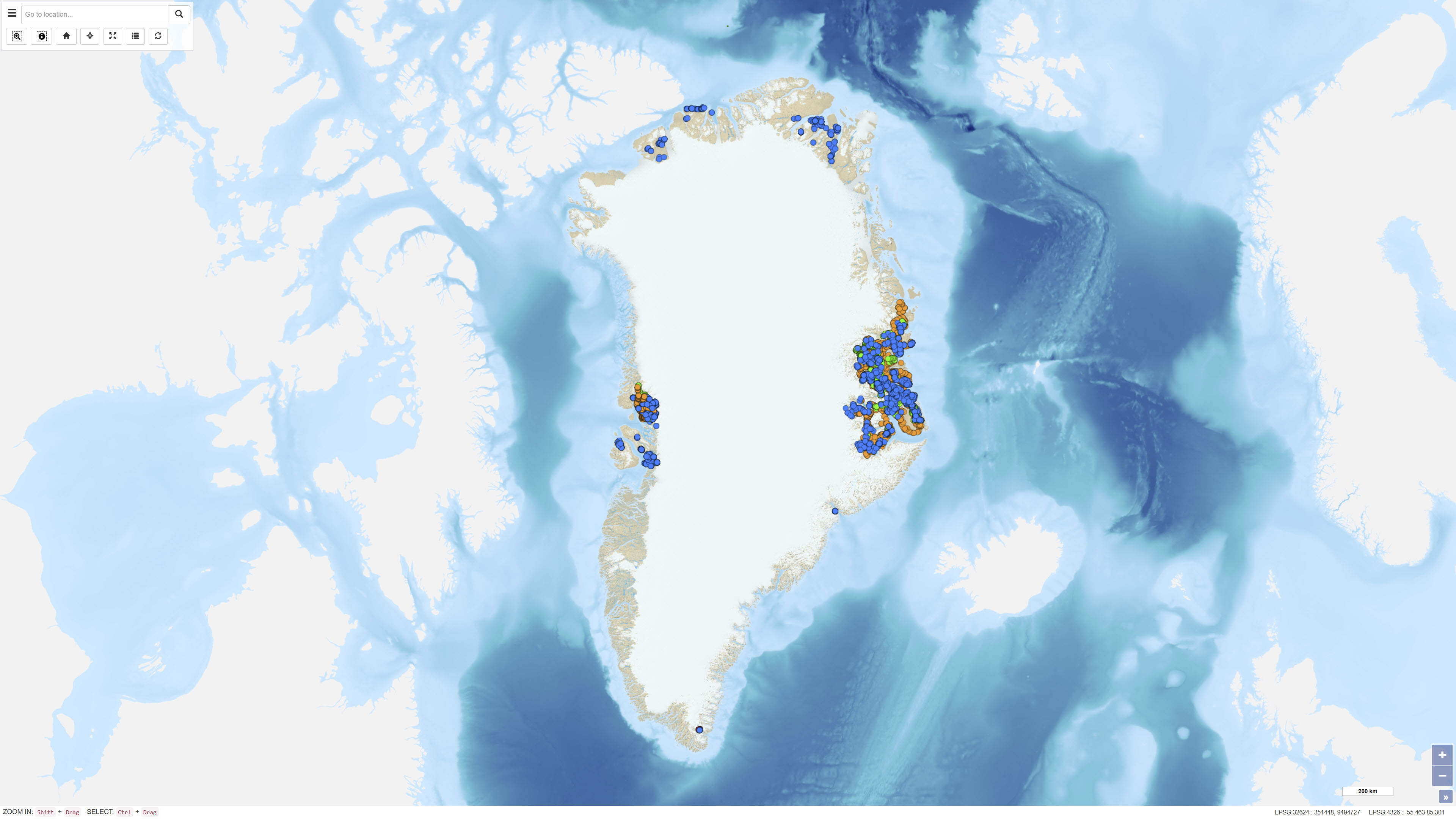
The dataset contains geochemical analytical results for 725 heavy mineral concentrate samples collected by GEUS in Greenland as part of various geological mapping and mineral exploration activities. The samples originate from several campaigns, including a regional campaign conducted between 1982 and 1986 in the Nuuk area, a 1991 campaign in the southern Nuuk region, and samples collected in 2003 in the Qaanaaq region. Additional samples derive from smaller projects and campaigns with limited documentation. Analyses were carried out at different laboratories, including Activation Laboratories and Bondar-Clegg in Canada and Risø National Laboratory in Denmark. The dataset contains raw analytical results, and metadata concerning sampling procedures and analytical quality are not complete for all samples.
-
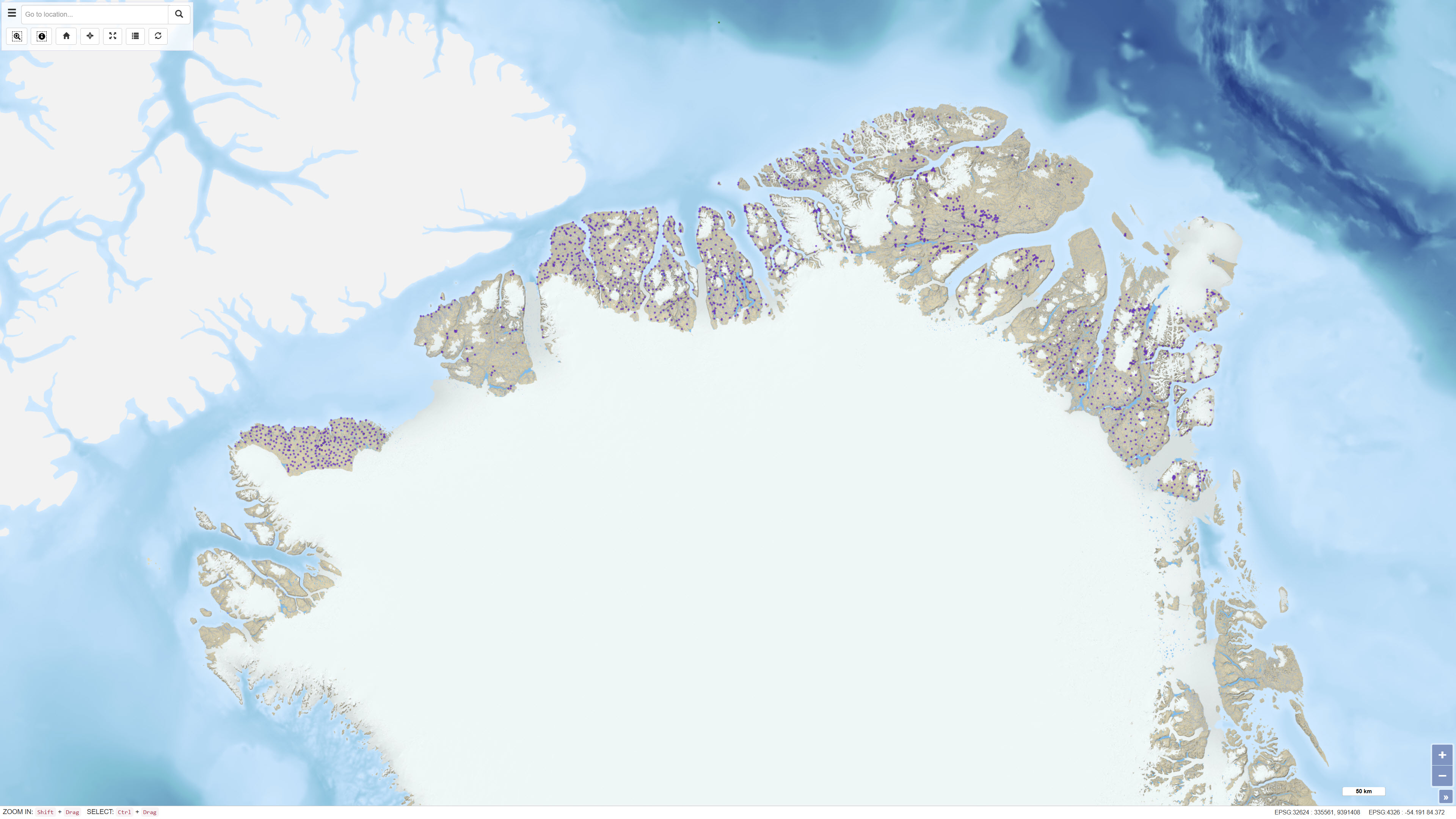
The dataset contains geochemical sample data from four company reports submitted to the Ministry of Mineral Resources (MMR) and previously to the Geological Survey of Denmark and Greenland (GEUS). The reports were originally delivered in paper format and later scanned. The geochemical data have been digitally restored through optical character recognition of scanned documents and georeferencing of sample locations. The dataset has been uploaded to the GEUS sample database with necessary adjustments to sample names and metadata. The dataset includes samples with coordinates but without geochemical analyses, as well as samples with analyses lacking unambiguous coordinates.
-
The dataset comprises geophysical survey data available through the Greenland Mineral Resources Portal. The data include both released company data and publicly funded survey data, primarily airborne electromagnetic (AEM) and aeromagnetic (Aeromag) surveys. The AEM Greenland 1994–1998 project encompassed high-resolution, multi-parameter airborne surveys including electromagnetic, magnetic and partly radiometric measurements conducted between 1994 and 1998, producing approximately 75,000 line kilometres of data. The Aeromag projects included high-resolution airborne magnetic surveys conducted in 1992, 1995, 1996, 1997, 1998, 1999, 2001, 2012 and 2013, producing more than 550,000 line kilometres of data. The projects were financed by the governments of Greenland and Denmark. The dataset provides regional geophysical coverage supporting geological interpretation, mineral exploration and geoscientific research in Greenland.
-
This dataset comprises calibrated geochemical data from stream sediment and soil samples collected in North Greenland between 1978 and 1999, supplemented by extensive reanalyses in 2011. The dataset includes selected elements relevant for the evaluation of zinc mineralisation: CaO, K₂O, Ba, Cu, Sr and Zn. A total of 2,469 stream sediment samples and 204 soil samples were included. The analytical values represent the most reliable results following systematic quality control and calibration procedures designed to eliminate bias between analytical methods and analytical periods, as described in Thrane et al. (2011). All values below detection limit are coded as 0 in the dataset. The dataset supports regional assessment of geochemical patterns and mineral potential in North Greenland.