 Arctic SDI catalogue
Northeast Greenland
Type of resources
Available actions
Topics
Keywords
Contact for the resource
Provided by
Formats
Representation types
Update frequencies
status
Scale
-
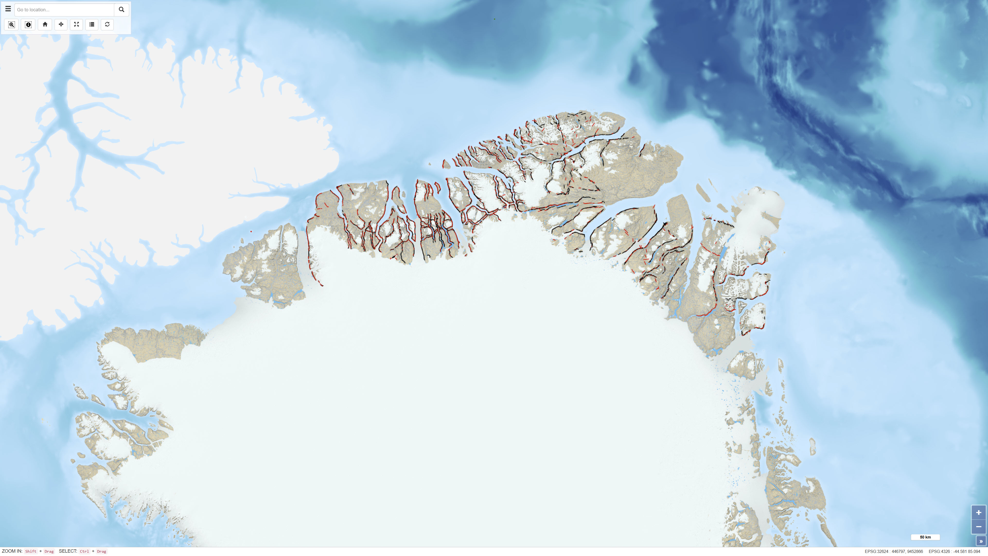
The dataset comprises more than 6,400 oblique aerial photographs acquired during the systematic 1:500,000 geological mapping programme in North Greenland carried out by the Geological Survey of Greenland (now GEUS) between 1978 and 1985. The photographs document steep fjord and valley walls and were collected as part of geological field investigations. The images have been digitised and made available through a web-based interface, allowing users to access individual photographs, their geographic locations and associated geological coding linked to the regional geological map. The dataset represents a systematic visual documentation of geological features in North and Northeast Greenland.
-
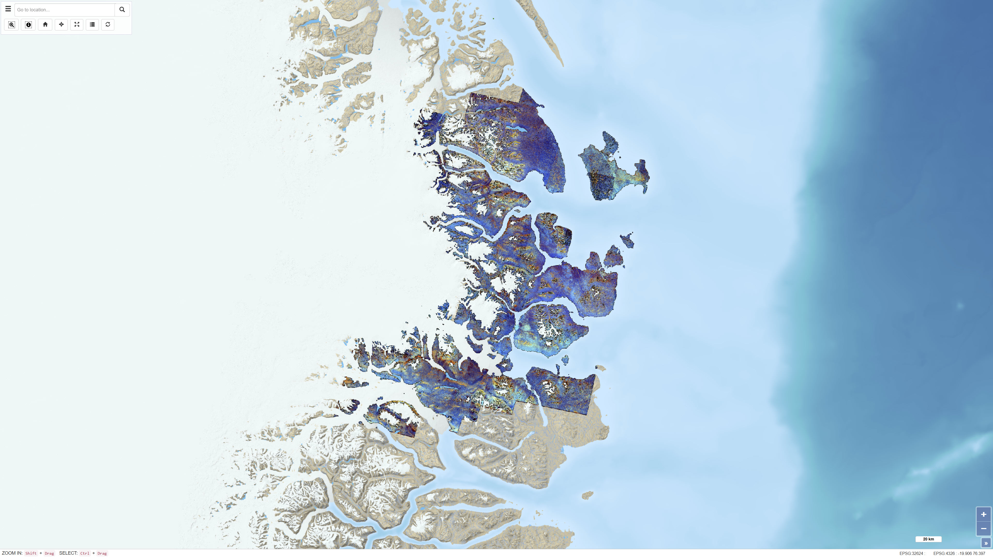
The dataset consists of a series of ASTER band ratios combined into colour composite images designed to highlight mineralogical distributions and lithological variability in Northeast Greenland. The ASTER scenes were preprocessed with atmospheric, radiometric and topographic corrections, including radiative transfer modelling using ATCOR-3 in rugged terrain mode. A surface elevation model was applied to adjust illumination effects. Non-outcrop pixels were masked prior to generating the final mosaic. Calibrated radiance data were converted to apparent surface reflectance; however, further calibration against ground-based reflectance measurements was not feasible. The dataset represents a derived remote sensing product and not primary satellite data.
-
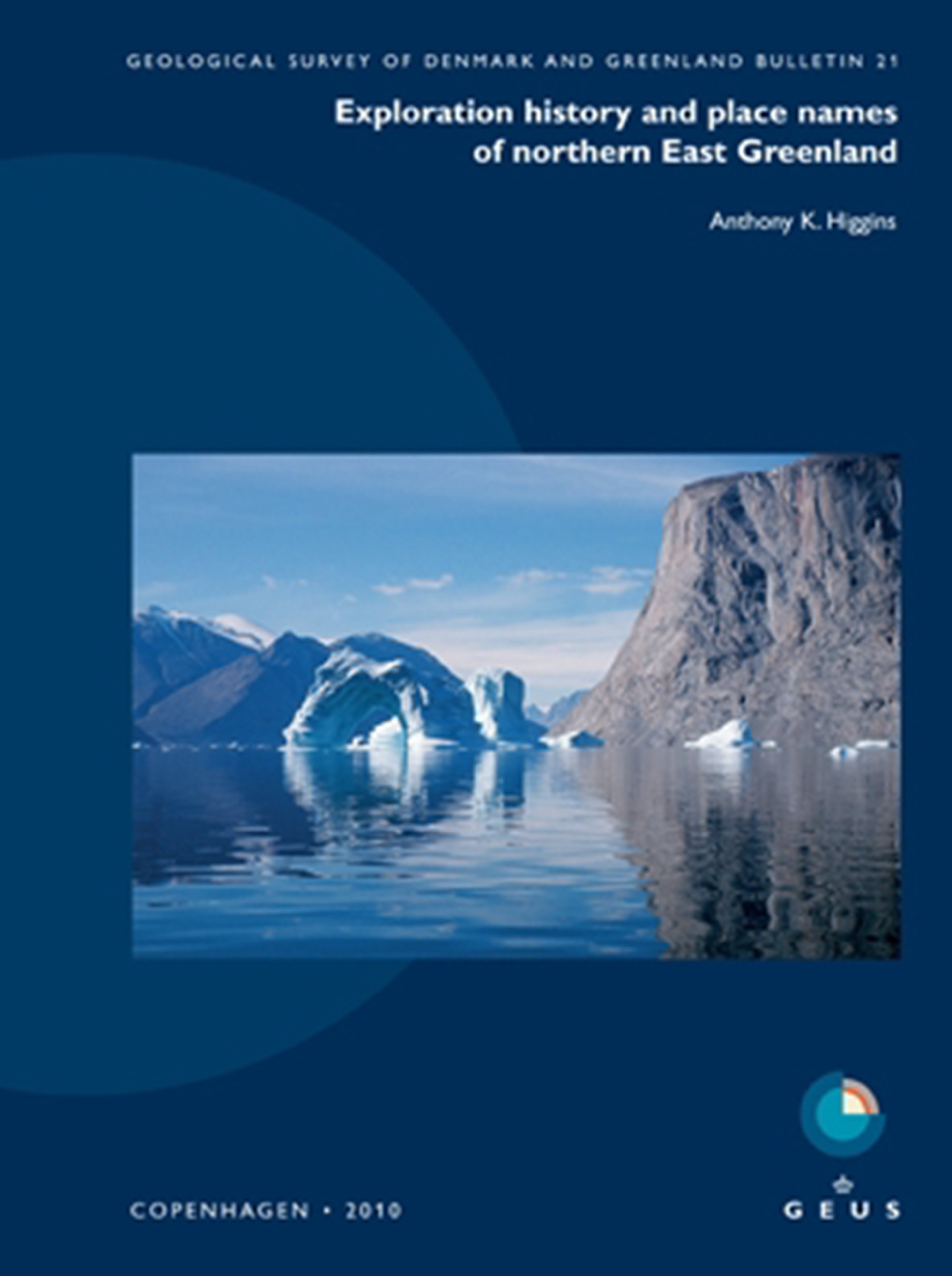
The dataset contains place names and associated historical and explanatory information for Northern East Greenland based on the book Northern East Greenland’s research history and place names by A.K. Higgins, published by GEUS in 2010. The dataset includes geographic locations of place names together with their explanations and historical background. The original maps and place name information have been converted to a web-based GIS format, allowing users to search for place names via free-text search and view their spatial distribution on an interactive map. The dataset forms part of the web-based presentation of Northern East Greenland’s place names and research history.
-
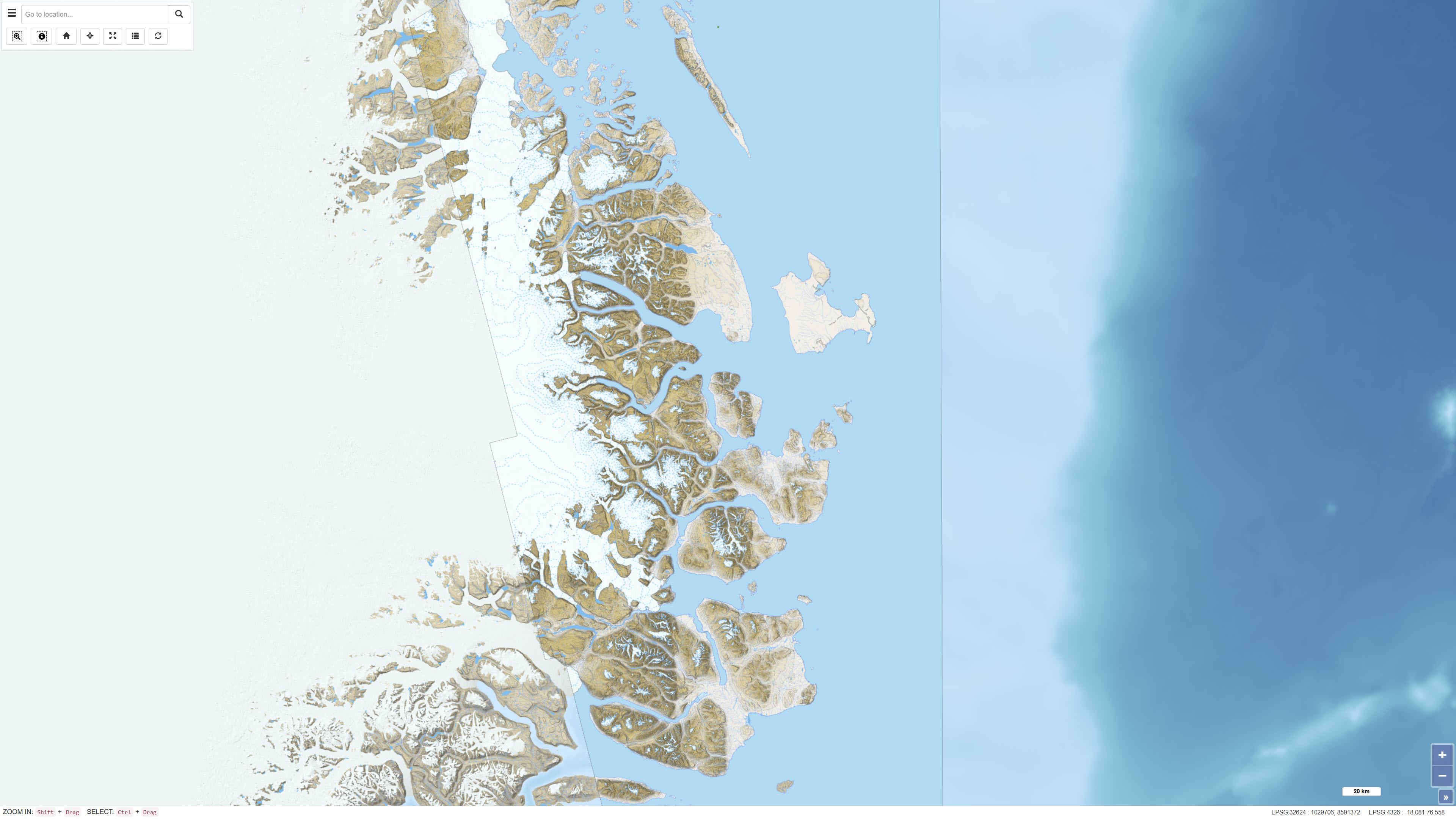
The dataset comprises a topographic map of Northeast Greenland delivered as a digital elevation model (DEM) with a spatial resolution of 8 metres. The DEM is provided as GeoTIFF and represents a seamless elevation surface covering the study area. The dataset was produced using input data from the ArcticDEM project, which is based on stereo imagery from the DigitalGlobe WorldView-1, WorldView-2 and WorldView-3 satellites. The elevation model integrates selected DEM strips recorded between 2012 and 2015 and has been processed to ensure consistency and continuity across the mosaic.