 Arctic SDI catalogue
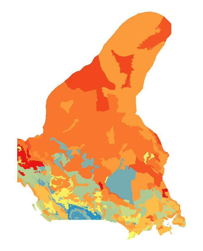
Terrestrial ecosystems
Type of resources
Available actions
Topics
Keywords
Contact for the resource
Provided by
Years
Formats
Representation types
Update frequencies
status
Service types
-

The National Ecological Framework for Canada's "Permafrost by Ecozone” dataset contains tables that provide permafrost information within the ecozone framework polygon. It provides permafrost codes and their English and French language descriptions as well as information about the percentage of the polygon that the component occupies. Permafrost is defined as a state of the ground, whether soil or rock, that remains at or below a temperature of 0° C for long periods (NRC, Permafrost Subcommittee, 1988). The minimum period is from one winter, through the following summer, and into the next winter; however, most permafrost has existed for much longer. This formal definition considers only the temperature of the ground, and thus permafrost is a strictly thermal phenomenon, and not a material. At temperatures below 0° C , almost all of the soil moisture occurs in the form of ground ice. Ground ice usually exists at temperature close to its melting point and so is liable to melt if the ground warms. The extent and nature of permafrost, including estimated ice content and typical ground ice forms are derived from the map "Canada - Permafrost" (Natural Resources Canada, 1995).
-

The National Ecological Framework for Canada's "Total Land and Water Area by Ecodistrict” dataset provides land and water area values for ecodistrict framework polygons, in hectares. It includes attributes for a polygon’s total area, land-only area and large water body area.
-

The National Ecological Framework for Canada's "Surface Form by Ecozone" dataset contains tables that provide surface form information for components within the ecozone framework polygon. It provides surface form codes and their English and French-language descriptions as well as information about the percentage of the polygon that the component occupies. Surface form descriptions describe assemblages of slopes or recurring patterns of forms that occur at the earth's surface. When applied to consolidated materials (material that has been transformed to hard rock), it refers to the form produced after modification by geological processes. The mineral soil surface forms are: dissected; hummocky (irregular); inclined; level, rolling; ridged; steep; terraced; undulating. The wetland surface forms are: bog; fen; marsh; swamp.
-

The National Ecological Framework for Canada's "Surface Form by Ecoprovince" dataset contains tables that provide surface form information for components within the ecoprovince framework polygon. It provides surface form codes and their English and French-language descriptions as well as information about the percentage of the polygon that the component occupies. Surface form descriptions describe assemblages of slopes or recurring patterns of forms that occur at the earth's surface. When applied to consolidated materials (material that has been transformed to hard rock), it refers to the form produced after modification by geological processes. The mineral soil surface forms are: dissected; hummocky (irregular); inclined; level, rolling; ridged; steep; terraced; undulating. The wetland surface forms are: bog; fen; marsh; swamp.
-

The National Ecological Framework for Canada's "Permafrost by Ecoprovince” dataset contains tables that provide permafrost information within the ecoprovince framework polygon. It provides permafrost codes and their English and French language descriptions as well as information about the percentage of the polygon that the component occupies. Permafrost is defined as a state of the ground, whether soil or rock, that remains at or below a temperature of 0° C for long periods (NRC, Permafrost Subcommittee, 1988). The minimum period is from one winter, through the following summer, and into the next winter; however, most permafrost has existed for much longer. This formal definition considers only the temperature of the ground, and thus permafrost is a strictly thermal phenomenon, and not a material. At temperatures below 0° C , almost all of the soil moisture occurs in the form of ground ice. Ground ice usually exists at temperature close to its melting point and so is liable to melt if the ground warms. The extent and nature of permafrost, including estimated ice content and typical ground ice forms are derived from the map "Canada - Permafrost" (Natural Resources Canada, 1995).
-

The National Ecological Framework for Canada's "Soil Development by Ecozone” dataset contains tables that provide soil development information for components within the ecozone framework polygon. It provides soil development codes and their English and French-language descriptions as well as the percentage of the polygon that the component occupies. The soil development descriptions are based on the second edition of the Canadian System of Soil Classification (Agriculture Canada Expert Committee on Soil Survey, 1987).
-

The National Ecological Framework for Canada's "Permafrost by Ecoregion” dataset contains tables that provide permafrost information within the ecoregion framework polygon. It provides permafrost codes and their English and French language descriptions as well as information about the percentage of the polygon that the component occupies. Permafrost is defined as a state of the ground, whether soil or rock, that remains at or below a temperature of 0° C for long periods (NRC, Permafrost Subcommittee, 1988). The minimum period is from one winter, through the following summer, and into the next winter; however, most permafrost has existed for much longer. This formal definition considers only the temperature of the ground, and thus permafrost is a strictly thermal phenomenon, and not a material. At temperatures below 0° C , almost all of the soil moisture occurs in the form of ground ice. Ground ice usually exists at temperature close to its melting point and so is liable to melt if the ground warms. The extent and nature of permafrost, including estimated ice content and typical ground ice forms are derived from the map "Canada - Permafrost" (Natural Resources Canada, 1995).
-
The National Ecological Framework for Canada's "Soil Development by Ecoregion” dataset contains tables that provide soil development information for components within the ecoregion framework polygon. It provides soil development codes and their English and French-language descriptions as well as the percentage of the polygon that the component occupies. The soil development descriptions are based on the second edition of the Canadian System of Soil Classification (Agriculture Canada Expert Committee on Soil Survey, 1987).
-

The National Ecological Framework for Canada's "Land Cover by Ecoregion” dataset provides land cover information within the ecoregion framework polygon. It provides landcover codes and their English and French language description as well as information about the percentage of the polygon that the component occupies.
-

The National Ecological Framework for Canada's "Elevation by Ecozone” dataset provides elevation information for ecozone framework polygons, in meters. It includes codes and descriptions for minimum elevation, maximum elevation, mean elevation and the difference in elevation.