 Arctic SDI catalogue
Seismic
Type of resources
Available actions
Topics
Keywords
Contact for the resource
Provided by
Years
Formats
Representation types
Update frequencies
status
Scale
-
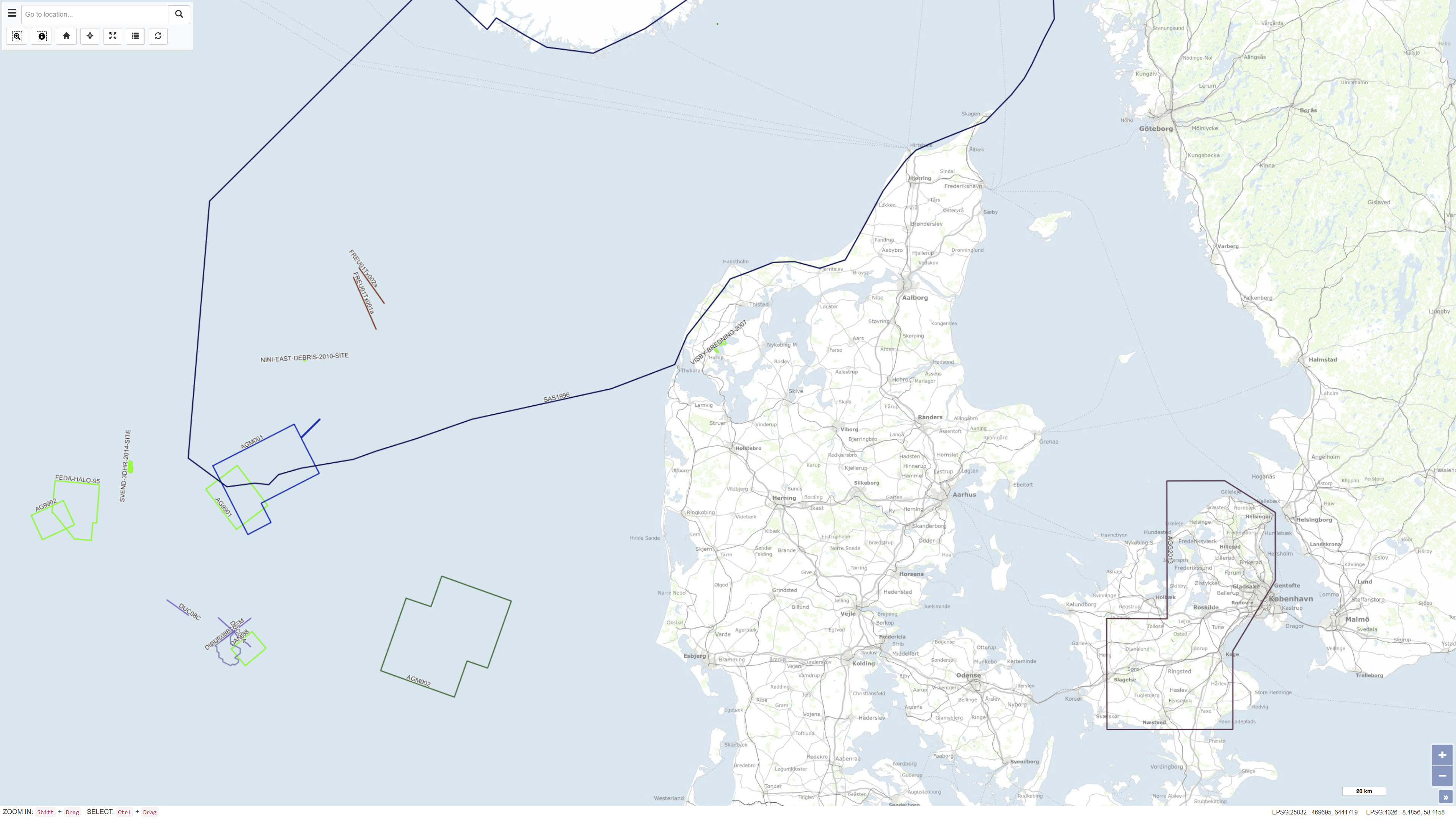
The Samba database contains information about geophysical investigations made in the Danish sector, acquired according to the Danish Act on the Use of the Subsoil. The data is acquired in relation to investigation for oil/gas, geothermal energy, the storage of gas or salt. That is: Seismic (2D & 3D) acquisitions, CSEM as well as other magnetic and gravity acquisitions shipborne as well as airborne. The dataset also contains geophysical measurement performed in the deep wells and meta data about the seismic surveys. The data has been submitted by the licensees. The database is updated on an ongoing basis.
-
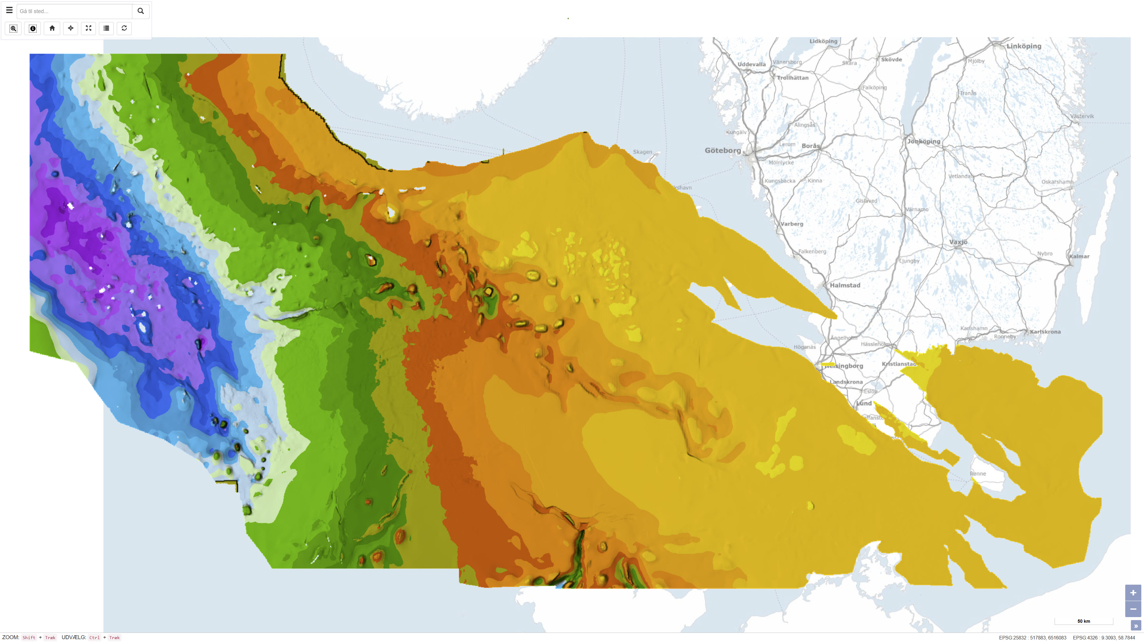
This dataset represents the structure and topography of the Top Chalk surface, i.e. the top of the Chalk Group (including Upper Cretaceous to Danian), in the Danish subsurface. The map illustrates regional variations in the depth and structural configuration of the chalk surface from the central North Sea to the eastern Danish areas. It is based on an integrated geological and geophysical interpretation of seismic profiles, well data and earlier mapping. The map provides an essential basis for geological, geophysical and subsurface reservoir analyses.
-
MARTA databasen indeholder shallow-seismiske og akustiske data, informationer om geologiske prøver samt rapporter vedrørende råstofkortlægning i de danske farvande.Data og informationer er primært indsamlet af GEUS og vores samarbejdspartnere. MARTA er den officielle danske marine råstofdatabase for data indberettet i henhold til Råstofloveni forbindelse med efterforskningen af sand og grus til byggeindustrien og til marine anlægsopgaver herunder kystfodring. Databasen opdateres løbende.
-

This release makes available the West Canadian Coast part of the results of an ongoing effort to scan and convert all our inventory of analog marine survey field records (seismic, sidescan and sounder) to digital format. These records have been scanned at 300 dpi and were converted into JPEG2000 format. Typically each of these files were from 1 to 2 gbyte in size before compression, and were compressed by a factor of 10:1. Empirical tests with a number of data sets suggest that there is minimal visual distortion of the scanned data at this level of compression. In this KML file, scanned data are available in a reduced-scale thumbnail format and a compressed full-resolultion JPEG2000 format.