 Arctic SDI catalogue
1000
Type of resources
Available actions
Topics
Keywords
Contact for the resource
Provided by
Formats
Representation types
Update frequencies
status
Scale
-
%20-%20datas%C3%A6t.jpg)
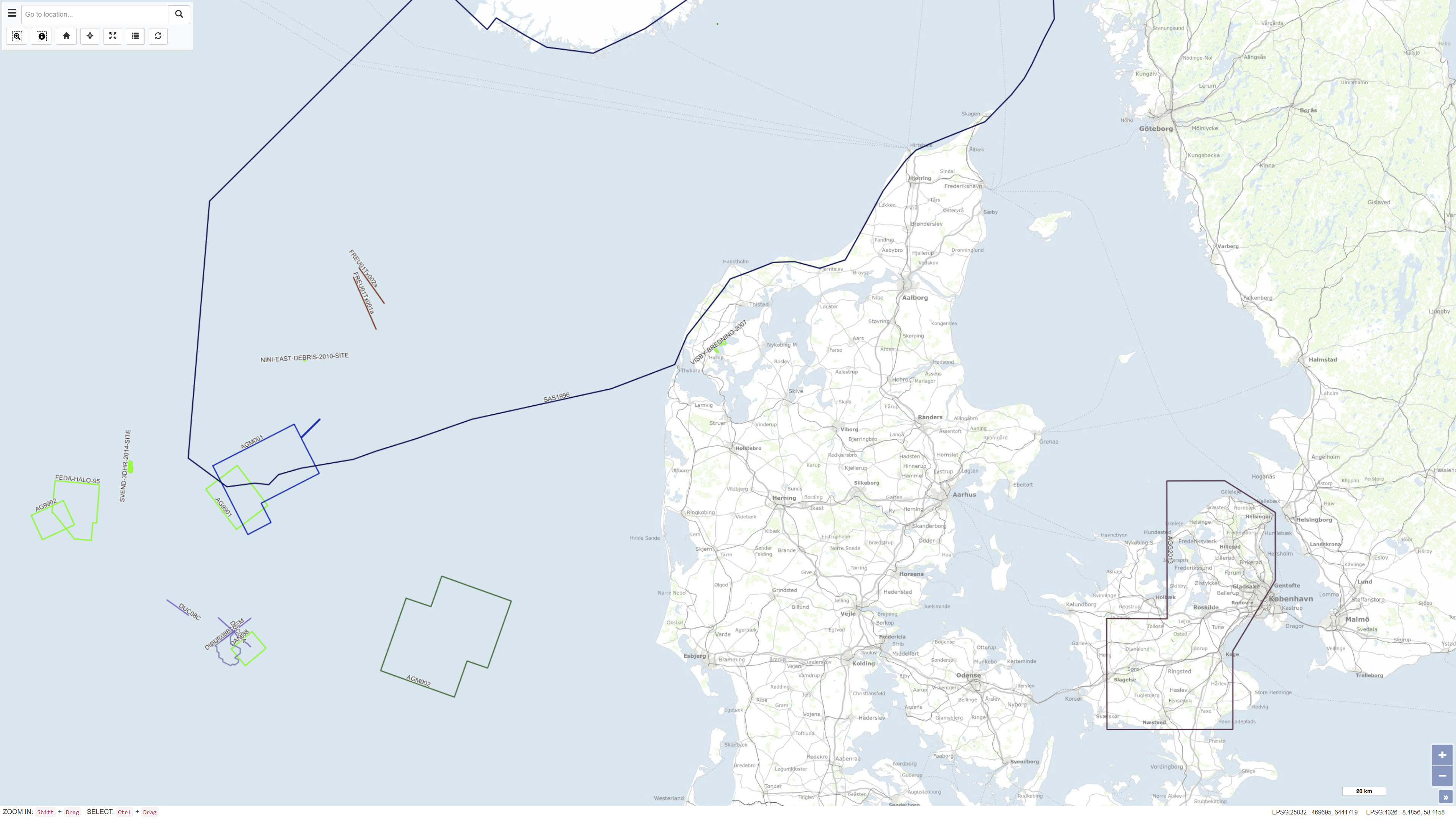
The database contains information on deep drilling, carried out under a permit, cf. the Subsoil Act, as well as geophysics (especially seismic), licenses and reports. These are exploration, estimation, delineation and production drillings concerning oil/gas, geothermal energy, gas storage and salt, as well as scientific drillings. The dataset contains technical, administrative and geological information from the drillings and about geophysical measurements in the drillings.
-
Results from laboratory analyses of related to monitoring the quality of water wells and drinking water taps in household. This dataset is part of GEUS' nation-wide database for shallow boreholes, the common public database and is part of Denmarks Environmental Portal. The database is publicly available and is continually updated.
-
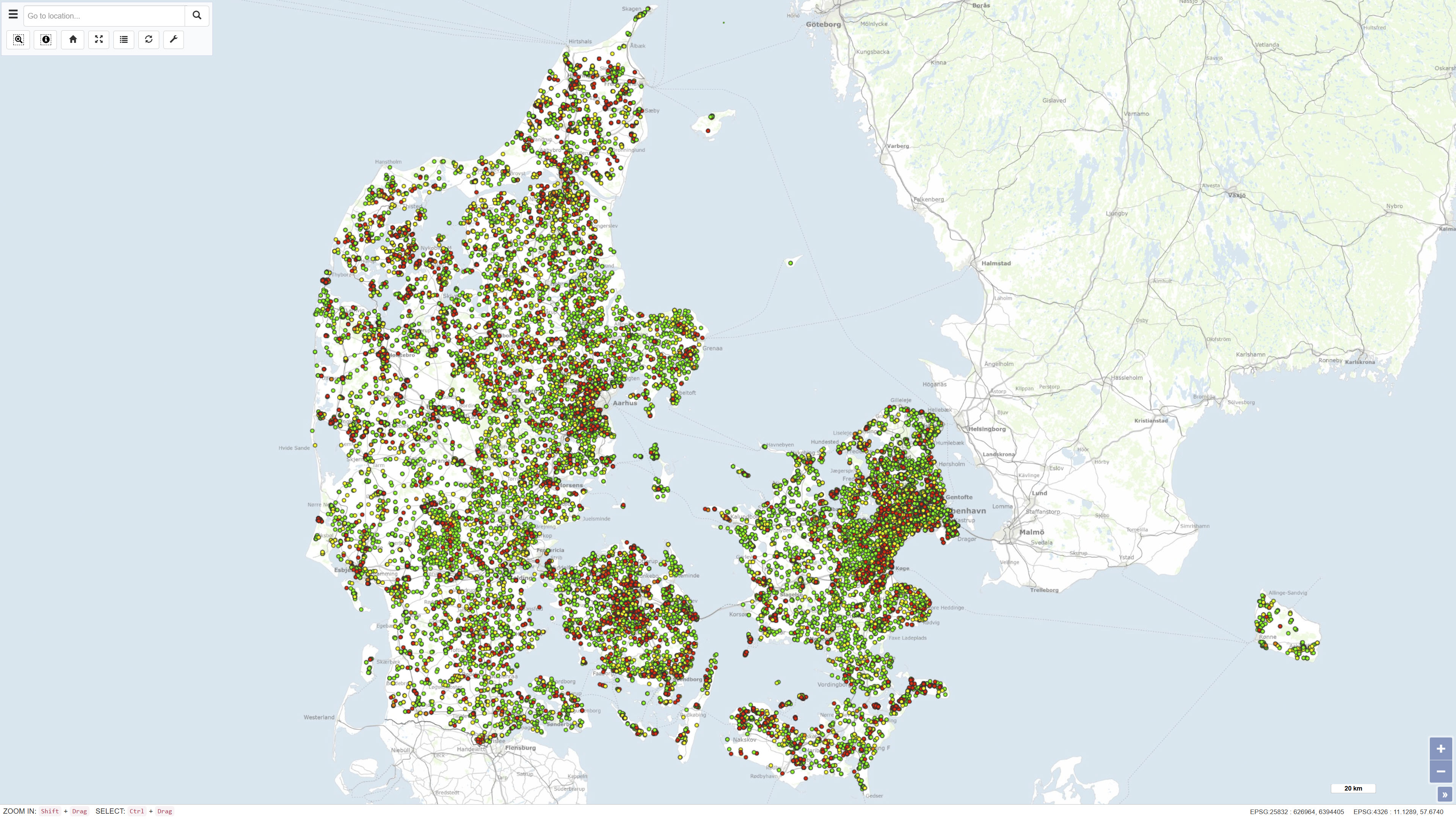
The Samba database contains information about geophysical investigations made in the Danish sector, acquired according to the Danish Act on the Use of the Subsoil. The data is acquired in relation to investigation for oil/gas, geothermal energy, the storage of gas or salt. That is: Seismic (2D & 3D) acquisitions, CSEM as well as other magnetic and gravity acquisitions shipborne as well as airborne. The dataset also contains geophysical measurement performed in the deep wells and meta data about the seismic surveys. The data has been submitted by the licensees. The database is updated on an ongoing basis.
-
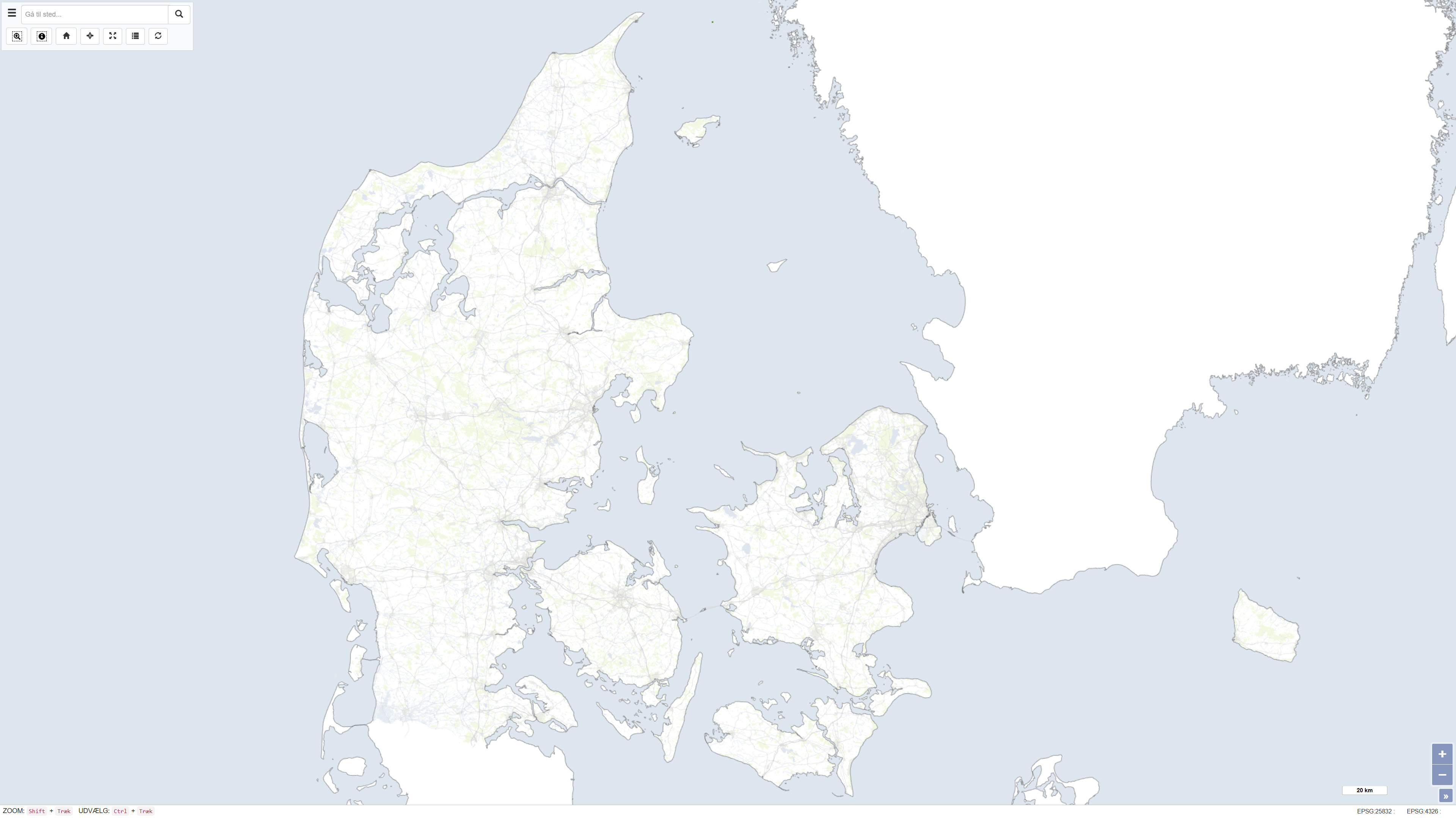
The dataset is based on OpenStreetMap (OSM) data downloaded from the official OpenStreetMap distribution platform. The data have subsequently been processed and published as a customised web service. OpenStreetMap is an open, crowdsourced geospatial dataset that is continuously maintained and updated by a global community of contributors. The dataset contains vector-based geographic features, including transport networks, buildings, land use, hydrography, natural features, and points of interest. The data are used as a background map and reference dataset for map visualisation and spatial analysis at local, regional, and national scales. Data content and quality vary geographically and depend on contributor activity.
-
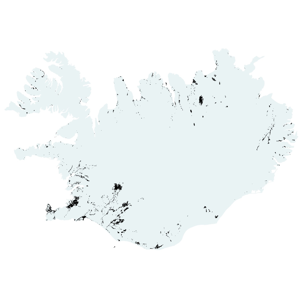
Gagnasafn (GDB) NI_G1v_lupina_3.utg: Útbreiðsla alaskalúpínu á Íslandi, 3. útgáfa. [Nootka lupin coverage of Iceland, 3rd edition.] Endurskoðað kortlagningu á útbreiðslu alaskalúpínu á landinu, flákalag. Alaskalúpína (Lupinus nootkatensis), sem skilgreind er sem ágeng, framandi plöntutegund hér á landi, er orðin mjög útbreidd og þekur víða stór svæði. Hún veldur miklum breytingum á náttúrufari þar sem hún breiðist um.