 Arctic SDI catalogue
Whales
Type of resources
Available actions
Topics
Keywords
Contact for the resource
Provided by
Years
Formats
Representation types
Update frequencies
status
Service types
-

Description: These commercial whale watching data are comprised of two datasets. First, the ‘whale_watching_trips_jun_sep_british_columbia’ data layer summarizes commercial whale watching trips that took place in 2019, 2020 and 2021 during the summer months (June to September). The second data layer, ‘wildlife_viewing_events_jun_sep_british_columbia’ contains estimated wildlife viewing events carried out by commercial whale watching vessels for the same years (2019, 2020 and 2021) and months (June to September). Commercial whale watching trips and wildlife viewing events are summarized using the same grid, and they can be related using the unique cell identifier field ‘cell_id’. The bulk of this work was carried out at University of Victoria and was funded by the Marine Environmental Observation, Prediction and Response (MEOPAR) Network under the ‘Whale watching AIS Vessel movement Evaluation’ or WAVE project (2018 – 2022). The aim of the WAVE project was to increase the understanding of whale watching activities in Canada’s Pacific region using vessel traffic data derived from AIS (Automatic Identification System). The work was finalized by DFO Science in the Pacific Region. These spatial data products of commercial whale watching operations can be used to inform Marine Spatial Planning, conservation planning activities, and threat assessments involving vessel activities in British Columbia. Methods: A list of commercial whale watching vessels based in British Columbia and Washington State and their corresponding MMSIs (Maritime Mobile Service Identity) was compiled from the whale watching companies and Marine Traffic (www.marinetraffic.com). This list was used to query cleaned CCG AIS data to extract AIS positions corresponding to commercial whale watching vessels. A commercial whale watching trip was defined as a set of consecutive AIS points belonging to the same vessel departing and ending in one of the previously identified whale watching home ports. A classification model (unsupervised Hidden Markov Model) using vessel speed as the main variable was developed to classify AIS vessel positions into wildlife-viewing and non wildlife viewing events. Commercial whale watching trips in the south and north-east of Vancouver Island were limited to a duration of minimum 1 hour and maximum 3.5 hours. For trips in the west coast of Vancouver island the maximum duration was set to 6 hours. Wildlife-viewing events duration was set to minimum of 10 minutes to a maximum of 1 hour duration. For more information on methodology, consult metadata pdf available with the Open Data record. References: Nesdoly, A. 2021. Modelling marine vessels engaged in wildlife-viewing behaviour using Automatic Identification Systems (AIS). Available from: https://dspace.library.uvic.ca/handle/1828/13300. Data Sources: Oceans Network Canada (ONC) provided encoded AIS data for years 2019, 2020 and 2021, within a bounding box including Vancouver Island and Puget Sound used to generate these products. This AIS data was in turn provided by the Canadian Coast Guard (CCG) via a licensing agreement between the CCG and ONC for the non-commercial use of CCG AIS Data. More information here: https://www.oceannetworks.ca/science/community-based-monitoring/marine-domain-awareness-program/ Molly Fraser provided marine mammal sightings data collected on board a whale watching vessels to develop wildlife-viewing events classification models. More information about this dataset here: https://www.sciencedirect.com/science/article/pii/S0308597X20306709?via%3Dihub Uncertainties: The main source of uncertainty is with the conversion of AIS point locations into track segments, specifically when the distance between positions is large (e.g., greater than 1000 meters).
-
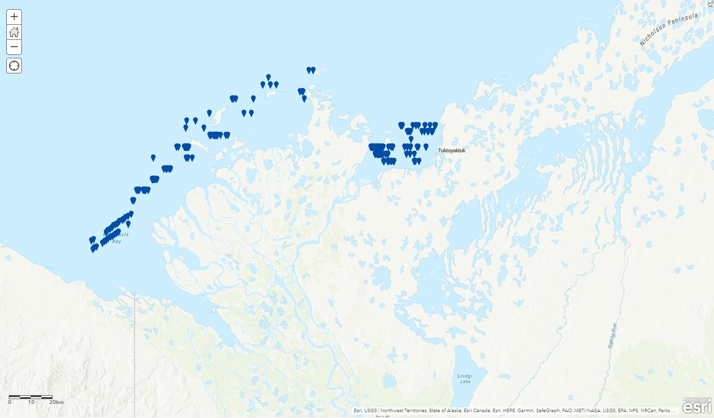
This record contains data on beluga whale locations in the Mackenzie estuary reported in Harwood, L.A. and P. Norton (1996). Aerial survey data from the southeast Beaufort Sea, Mackenzie River estuary and west. Amundsen Gulf, July 1992. Canadian Data Report of Fisheries and Aquatic Sciences No. 964
-

PURPOSE: The focus of this research is on changes in the distribution of killer whales in the Canadian Arctic, which is within the field of marine biogeography and marine megafauna. Our research details change in killer whale presence and ties it to changes in sea ice coverage. These are novel results, presenting trends in the arrival and departure dates of killer whales into the eastern Canadian Arctic for the first time. We go on to discuss the impacts of these changes on other aspects of Arctic ecosystems and how increasing in killer whale presence might affect other species and the management of those species in Canada. Killer whales are a widespread species of interest, especially in the Canadian Arctic as their presence is tied to multiple aspects of a region rapidly changing from the effects of climate change. DESCRIPTION: This study examines 20 years of killer whale (Orcinus orca) sightings in the eastern Canadian Arctic, drawing from a comprehensive sighting database spanning 1850-2023. Despite inherent biases favoring data collection near communities and coastal areas, spatiotemporal analyses reveal significant shifts in killer whale distribution linked to changing sea ice conditions. We developed a clustering metric representing the mean distance to the five nearest sightings and results show that killer whales are progressively moving away from historically high-use areas and that sighting locations are becoming more dispersed over time. A significant year × sea ice interaction indicates observations occur earlier during their arrival period at lower sea ice concentrations over time, suggesting that declining sea ice concentration contributes to earlier arrival. Conversely, for departure periods, killer whales are observed farther south later in the year, likely linked to earlier freeze-up at higher latitudes, and are overall observed later into the year over time. This trend has led to a near doubling of their average presence from 26 days in 2002 to 48 days in 2023 (27 July to 13 September) reflecting an extended open-water season. These findings underscore the prolonged seasonal use of Arctic regions by killer whales, driven by diminishing sea ice and expanding openwater habitat. Such shifts highlight potential implications for Arctic marine ecosystems as killer whales increasingly overlap with endemic species.
-

This dataset contains digital data files on transects flown and reported in Harwood, L.A. and P. Norton (1996). Aerial survey data from the southeast Beaufort Sea, Mackenzie River estuary and west. Amundsen Gulf, July 1992. Canadian Data Report of Fisheries and Aquatic Sciences No. 964
-

This record contains data on bowhead whale locations reported in Harwood, L.A. and P. Norton. 1996. Aerial survey data from the southeast Beaufort Sea, Mackenzie River estuary and west. Amundsen Gulf, July 1992. Canadian Data Report of Fisheries and Aquatic Sciences No. 964
-

This record contains data on beluga whale locations in the Beaufort Sea and west Amundsen Gulf reported in Harwood, L.A. and P. Norton (1996). Aerial survey data from the southeast Beaufort Sea, Mackenzie River estuary and west. Amundsen Gulf, July 1992. Canadian Data Report of Fisheries and Aquatic Sciences No. 964
-

This layer details Important Areas (IAs) relevant to key cetacean species in the Pacific North Coast Integrated Management Area (PNCIMA). This data was mapped to inform the selection of marine Ecologically and Biologically Significant Areas (EBSA). Experts have indicated that these areas are relevant based upon their high ranking in one or more of three criteria (Uniqueness, Aggregation and Fitness Consequences). The distribution of IAs within ecoregions is used in the designation of EBSAs. Canada’s Oceans Act provides the legislative framework for an integrated ecosystem approach to management in Canadian oceans, particularly in areas considered ecologically or biologically significant. DFO has developed general guidance for the identification of ecologically or biologically significant areas. The criteria for defining such areas include uniqueness, aggregation, fitness consequences, resilience, and naturalness. This science advisory process identifies proposed EBSAs in Canadian Pacific marine waters, specifically in the Strait of Georgia (SOG), along the west coast of Vancouver Island (WCVI, southern shelf ecoregion), and in the Pacific North Coast Integrated Management Area (PNCIMA, northern shelf ecoregion). Initial assessment of IAs in PNCIMA was carried out in September 2004 to March 2005 with spatial data collection coordinated by Cathryn Clarke. Subsequent efforts in WCVI and SOG were conducted in 2009, and may have used different scientific advisors, temporal extents, data, and assessment methods. WCVI and SOG IA assessment in some cases revisits data collected for PNCIMA, but should be treated as a separate effort. Other datasets in this series detail IAs for birds, coral and sponges, fish, geographic features, invertebrates, and other vertebrates. Though data collection is considered complete, the emergence of significant new data may merit revisiting of IAs on a case by case basis.
-

This layer details Important Areas (IAs) relevant to key cetacean species in the West Coast Vancouver Island (WCVI) ecoregion. This data was mapped to inform the selection of marine Ecologically and Biologically Significant Areas (EBSA). Experts have indicated that these areas are relevant based upon their high ranking in one or more of three criteria (Uniqueness, Aggregation, and Fitness Consequences). The distribution of IAs within ecoregions is used in the designation of EBSAs. Canada’s Oceans Act provides the legislative framework for an integrated ecosystem approach to management in Canadian oceans, particularly in areas considered ecologically or biologically significant. DFO has developed general guidance for the identification of ecologically or biologically significant areas. The criteria for defining such areas include uniqueness, aggregation, fitness consequences, resilience, and naturalness. This science advisory process identifies proposed EBSAs in Canadian Pacific marine waters, specifically in the Strait of Georgia (SOG), along the west coast of Vancouver Island (WCVI, southern shelf ecoregion), and in the Pacific North Coast Integrated Management Area (PNCIMA, northern shelf ecoregion). Initial assessment of IAs in PNCIMA was carried out in September 2004 to March 2005 with spatial data collection coordinated by Cathryn Clarke. Subsequent efforts in WCVI and SOG were conducted in 2009, and may have used different scientific advisors, temporal extents, data, and assessment methods. WCVI and SOG IA assessment in some cases revisits data collected for PNCIMA, but should be treated as a separate effort. Other datasets in this series detail IAs for birds, coral and sponges, fish, geographic features, invertebrates, and other vertebrates. Though data collection is considered complete, the emergence of significant new data may merit revisiting of IAs on a case by case basis.
-

The Species at Risk (SAR) Program is responsible for carrying out DFO’s mandate under the Species at Risk Act (SARA) to protect, recover and conserve all listed aquatic SAR in Canada. Critical habitat is identified for species listed as Endangered or Threatened under the Species at Risk Act (SARA). This mapping tool is for general guidance only. “Mapped” representations of waterbodies and watercourses are based on authoritative provincial geospatial products, guidance and standards. Due to the nature of dynamic systems and the resolution/accuracy of these data sets, areas within which critical habitat is found as displayed on the mapping tool may not align exactly with natural watercourses. If discrepancies occur, refer to the relevant species recovery strategy and/or action plan for additional information on critical habitat. If additional guidance is required, please contact the Fish and Fish Habitat Protection Program: https://www.dfo-mpo.gc.ca/pnw-ppe/contact-eng.html Critical habitat is defined under section 2 of SARA as: "the habitat that is necessary for the survival or recovery of a listed wildlife species and that is identified as the species' critical habitat in the recovery strategy or in an action plan for the species". Section 49(1)(a) of SARA requires that a species' Recovery Strategy/Action Plan include an identification of the species' critical habitat to the extent possible, based on the best available information, including information provided by the Committee on the Status of Endangered Wildlife in Canada (COSEWIC). SARA makes it illegal to destroy any part of the critical habitat of SAR and may impose restrictions on development and construction. Critical habitats were assembled by SARA regional biologists and recovery teams. They are designed to support the protection and recovery of species listed as Endangered or Threatened under the Species at Risk Act. They are also described and displayed in species' Recovery Documents and Action Plans.
-

This layer details Important Areas (IAs) relevant to key cetacean species in the Strait of Georgia (SOG) ecoregion. This data was mapped to inform the selection of marine Ecologically and Biologically Significant Areas (EBSA). Experts have indicated that these areas are relevant based upon their high ranking in one or more of three criteria (Uniqueness, Aggregation, and Fitness Consequences). The distribution of IA's within ecoregions is used in the designation of EBSA's. Canada’s Oceans Act provides the legislative framework for an integrated ecosystem approach to management in Canadian oceans, particularly in areas considered ecologically or biologically significant. DFO has developed general guidance for the identification of ecologically or biologically significant areas. The criteria for defining such areas include uniqueness, aggregation, fitness consequences, resilience, and naturalness. This science advisory process identifies proposed EBSAs in Canadian Pacific marine waters, specifically in the Strait of Georgia (SOG), along the west coast of Vancouver Island (WCVI, southern shelf ecoregion), and in the Pacific North Coast Integrated Management Area (PNCIMA, northern shelf ecoregion). Initial assessment of IA's in PNCIMA was carried out in September 2004 to March 2005 with spatial data collection coordinated by Cathryn Clarke. Subsequent efforts in WCVI and SOG were conducted in 2009, and may have used different scientific advisors, temporal extents, data, and assessment methods. WCVI and SOG IA assessment in some cases revisits data collected for PNCIMA, but should be treated as a separate effort. Other datasets in this series detail IAs for birds, coral and sponges, fish, geographic features, invertebrates, and other vertebrates. Though data collection is considered complete, the emergence of significant new data may merit revisiting of IA's on a case by case basis.