 Arctic SDI catalogue
Flora
Type of resources
Categories
Available actions
Topics
Keywords
Contact for the resource
Provided by
Years
Formats
Representation types
Update frequencies
status
Service types
-
The Great Lakes Coastal Wetland Monitoring Program (GLCWMP) involves the monitoring of Great Lakes coastal wetland biota and habitat to provide information on coastal wetland condition for use in conservation and management decision-making using fish, birds, anurans, vegetation, aquatic macroinvertebrates and water quality. The main outputs from this program are a thorough assessment of the condition of over 1000 Great Lakes coastal wetlands (that are larger than four hectares in size and have a surface water connection to the lake) and the implementation of a standardized long-term monitoring program for coastal wetlands across the Great Lakes basin. This program is funded under the Great Lakes Restoration Initiative by the U.S. Environmental Protection Agency, Great Lakes National Program Office (GLNPO). The Canadian Wildlife Service (CWS) of Environment and Climate Change Canada has been involved in the program since it began in 2011, and over that time has conducted fish, vegetation, aquatic macroinvertebrates and water quality surveys at 80 coastal wetland sites (as of 2025) primarily on the Canadian shore of Lake Ontario. Program data are available by request at: www.greatlakeswetlands.org. The data included here are a list of the 80 sites surveyed by CWS, spatial coordinates for each site, and the years that sites were surveyed.
-
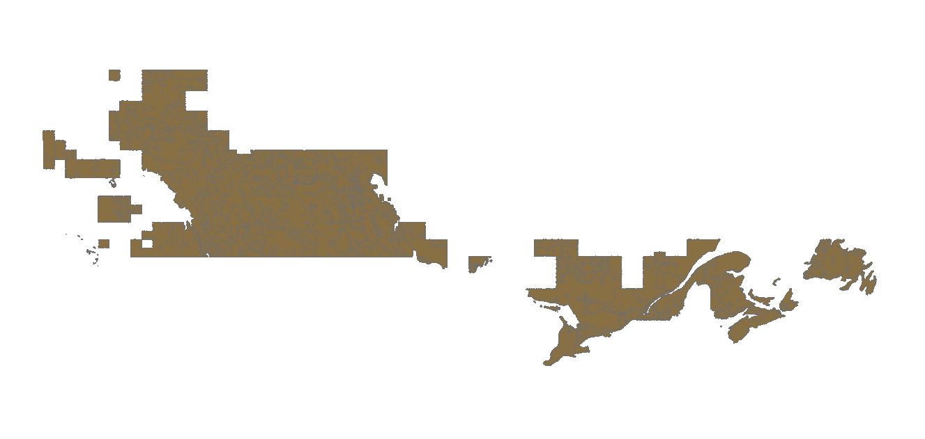
The Canada Land Inventory (CLI), 1 100,000, Land Capability and Limitation for Agriculture dataset illustrates the varying potential of a specific area for agricultural production. Classes of land capability for agriculture are based on mineral soils grouped according to their potential and limitations for agricultural use. The classes indicate the degree of limitation imposed by the soil in its use for mechanized agriculture. The subclasses indicate the kinds of limitations that individually or in combination with others, are affecting agricultural land use. Characteristics of the soil as determined by soil surveys.
-
This theme presents observations of invasive exotic species (IAS) transmitted and validated using the Sentinelle tool, an EEE detection system. An invasive exotic species is a plant, animal or microorganism (virus, bacteria or fungi) that are introduced outside of their natural range. Son establishment or its spread may pose a threat to the environment, the economy or society. The species listed are species of fauna and flora concerning (or potentially worrying) for Quebec's biodiversity. Elles include EEE present in Quebec and EEE not listed in Quebec at monitor.**This third party metadata element was translated using an automated translation tool (Amazon Translate).**
-
This database contains observations of [exotic invasive species] (https://www.quebec.ca/agriculture-environnement-et-ressources-naturelles/faune/gestion-faune-habitats-fauniques/gestion-especes-exotiques-envahissantes/propos-especes) () (EEE) floristics collected by the Ministry of the Environment, the Fight against Climate Change, Wildlife and Parks (MELCCFP). This is data on the [main harmful floristic EEE] (https://www.quebec.ca/agriculture-environnement-et-ressources-naturelles/faune/gestion-faune-habitats-fauniques/gestion-especes-exotiques-envahissantes-animales/liste-especes#c306329) for biodiversity and the environment in Quebec and data on which to monitor. These species colonize terrestrial, humid and aquatic environments. The majority of them are established in Quebec while, for others, it is not certain that they are currently in a position to establish successfully in the Quebec climate (occasional observation: the species has been observed on some occasions, but there is no proof that individuals survive and reproduce independently in order to form a population). The data comes from several sources such as: * [Sentinel] (https://www.quebec.ca/agriculture-environnement-et-ressources-naturelles/faune/gestion-faune-habitats-fauniques/gestion-especes-exotiques-envahissantes-animales/signaler-especes#c241546) — MELCCFP tool for reporting EEA citizens; * iNaturalist — citizen science tool and naturalist social network; * Organizations that have carried out detection and inventory work. The update frequency of the various sources varies. Data on EEE are useful for getting a better picture of their distribution in Quebec and for guiding control actions (prevention, detection, control).**This third party metadata element was translated using an automated translation tool (Amazon Translate).**
-
__The link: *Access the data directory* is available in the section*Dataset Description Sheets; Additional Information*__. The third edition of the [*Small forest flora of Quebec (MRNF, 2023) *] (https://boutique.publicationsduquebec.gouv.qc.ca/recherche/Petite%20flore%20foresti%C3%A8re) presents the distribution maps of 298 species of trees, shrubs, herbaceous plants, bryophytes and lichens that grow in Quebec forests. The AIRES_REPARTITION_PFFQ database is the product resulting from the vectorization of each of the distribution areas presented in Little Flora. It thus allows the consultation of these areas in a geographic information system. The ranges are grouped into a single feature class where the main range of each species is bounded by one or more polygons. The location of isolated populations, located outside the main range of a species, is indicated very generally by circles 30 km in diameter.**This third party metadata element was translated using an automated translation tool (Amazon Translate).**
-

The Conservation of Arctic Flora and Fauna (CAFF) is the biodiversity working group of the Arctic Council. The CAFF Kortasjá represents data from CAFF and from their GeoCatalog (https://geo.abds.is/) More info on their website https://www.caff.is/
-
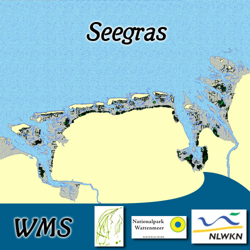
Seegras:2003. Durch Übersichtsbefliegungen und Begehungen wurden in 2001-2003 die Seegrasbestände im Eulitoral erfasst. Die Daten sind Bestandteil des Trilateral Monitoring and Assessment Program (TMAP). Seegras:2008. Durch Begehungen wurden in 2008 die Seegrasbestände im Eulitoral erfasst. Seagrass:2003. The eulittoral Seagrass stocks were mapped by aerial flight and field survey in 2001-2003. The data are part of the Trilateral Monitoring and Assessment Program (TMAP). Seagrass:2008. The eulittoral Seagrass stocks were mapped by field surveys in 2008.