 Arctic SDI catalogue
Settlements
Type of resources
Categories
Available actions
Topics
Keywords
Contact for the resource
Provided by
Formats
Representation types
Update frequencies
status
Scale
-
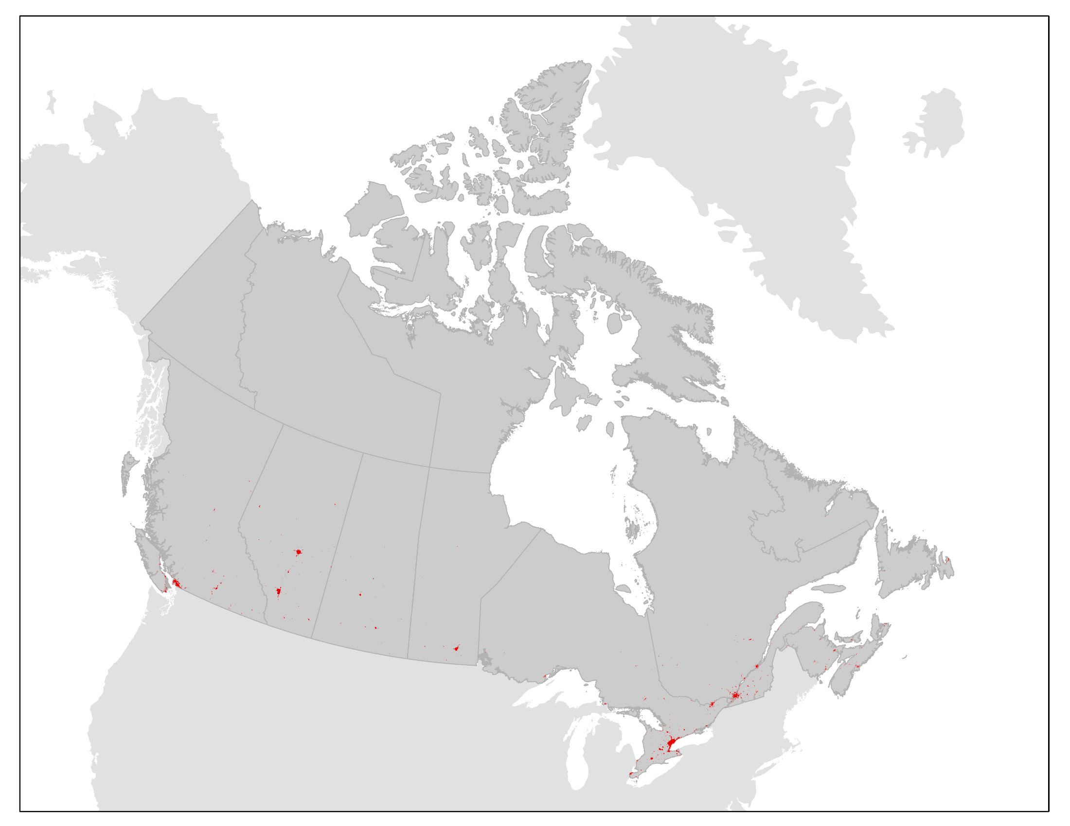
This product contains contiguously settled area (CSA) boundaries for a subset of Canadian population centres for 2010 and 2020. The CSA boundaries are derived from land cover data and represent the geographic extent of settled areas based on their physical footprint on the landscape. The boundaries can be used for reference, mapping and spatial analysis of settled areas and urban ecosystems. The CSA boundaries are created and maintained under the umbrella of the Census of Environment, and will support Statistics Canada’s ecosystem accounting efforts following the System of Environmental-Economic Accounting — Ecosystem Accounting (SEEA EA) framework. The primary purpose of the CSA boundaries is to represent the extent of the contiguous urban footprint and allow for the measurement of settled area expansion over time. They will also contribute to the urban and industrial ecosystem class in Statistics Canada’s ecosystem accounting efforts. The boundaries will be used for other types of urban ecosystem analyses, including measures of urban ecosystem condition and services. The CSA boundaries may also be used for urban thematic accounts or to inform where users of ecosystem services are located. Moving forward, CSA boundaries will be updated on an ongoing basis.
-
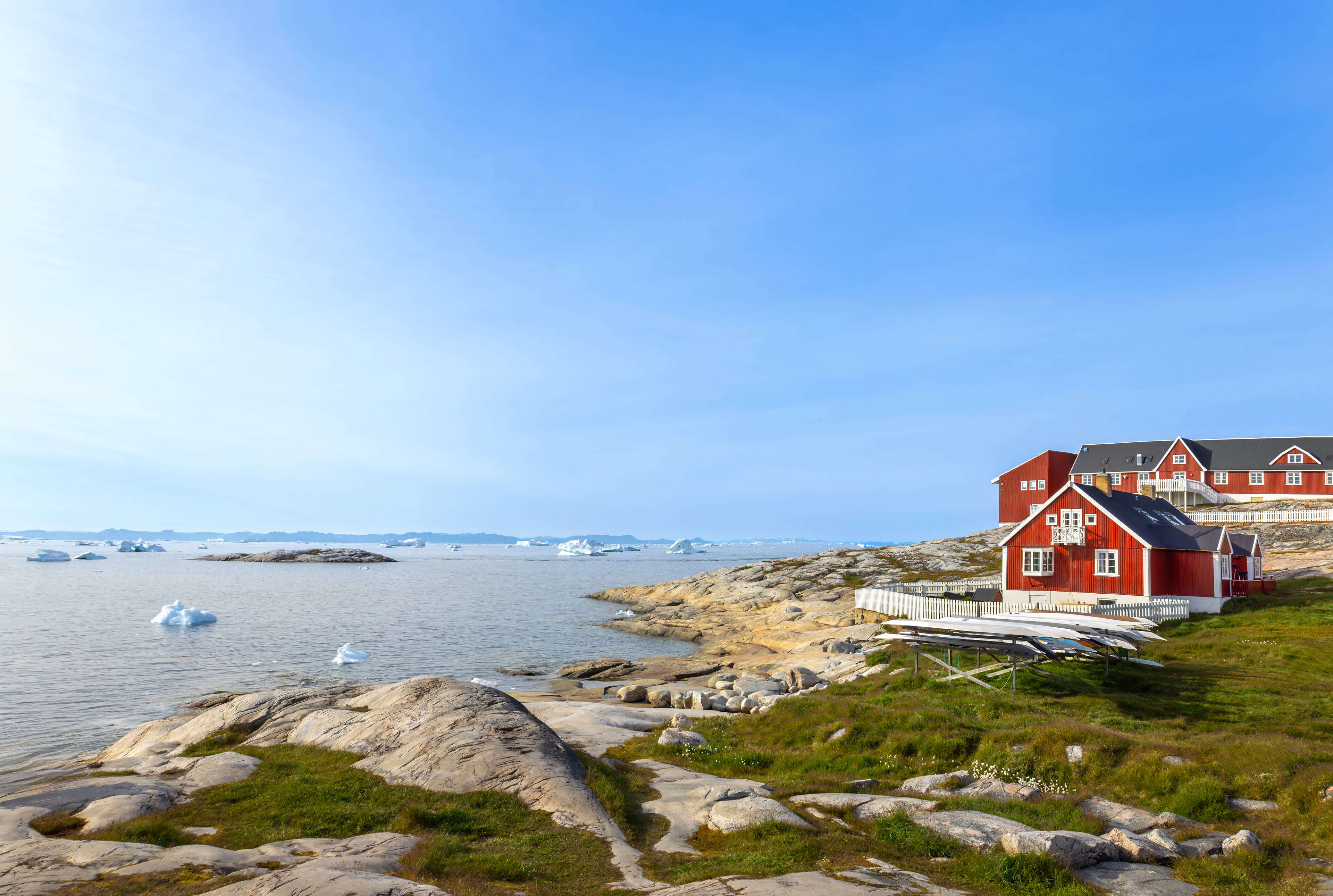
The dataset contains terrain models of towns and settlements across Greenland delivered by Asiaq and prepared in connection with the Landslide Project 2022. The dataset includes recorded infrastructure such as roads, buildings and administrative boundaries, as well as a comprehensive raster mosaic of elevation models covering all towns and settlements.
-
Survey records are the legal survey documents (plans, field notes, reports, diaries) that reflect the work done on the ground. The Canada Lands Survey Records provide a mechanism to ensure safekeeping of and access to legal survey documents for Canada Lands.