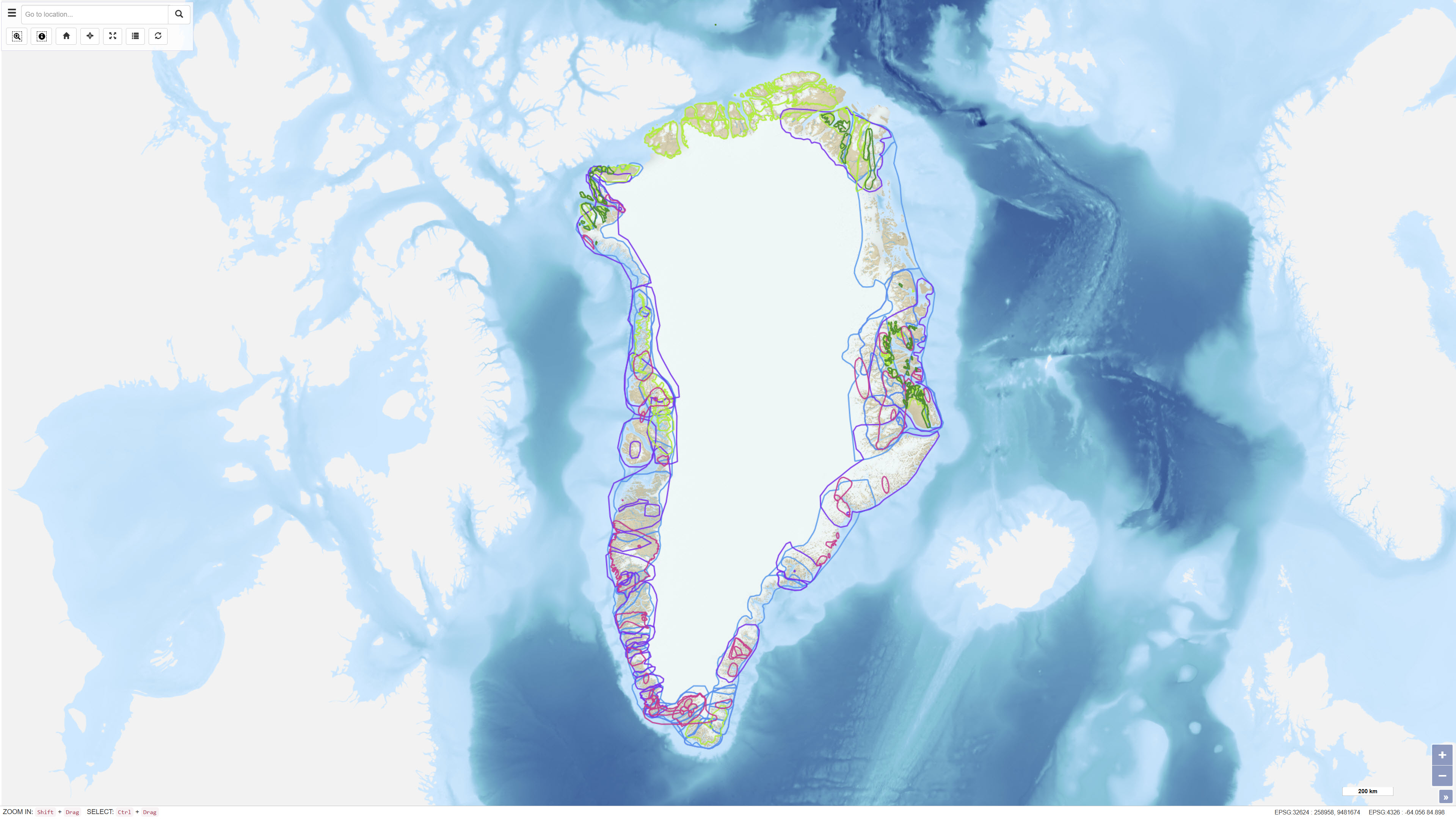
 Arctic SDI catalogue
Economic geology
Type of resources
Available actions
Topics
Keywords
Contact for the resource
Provided by
Formats
Representation types
Update frequencies
status
Scale
-
The dataset comprises digital element distribution maps based on geochemical analyses of stream sediments collected in West and South Greenland. The maps were produced as part of the geochemical mapping programme underlying the Geochemical Atlas of West and South Greenland. The data represent analyses of various elements in defined grain-size fractions and provide a regional overview of geochemical variations.
-
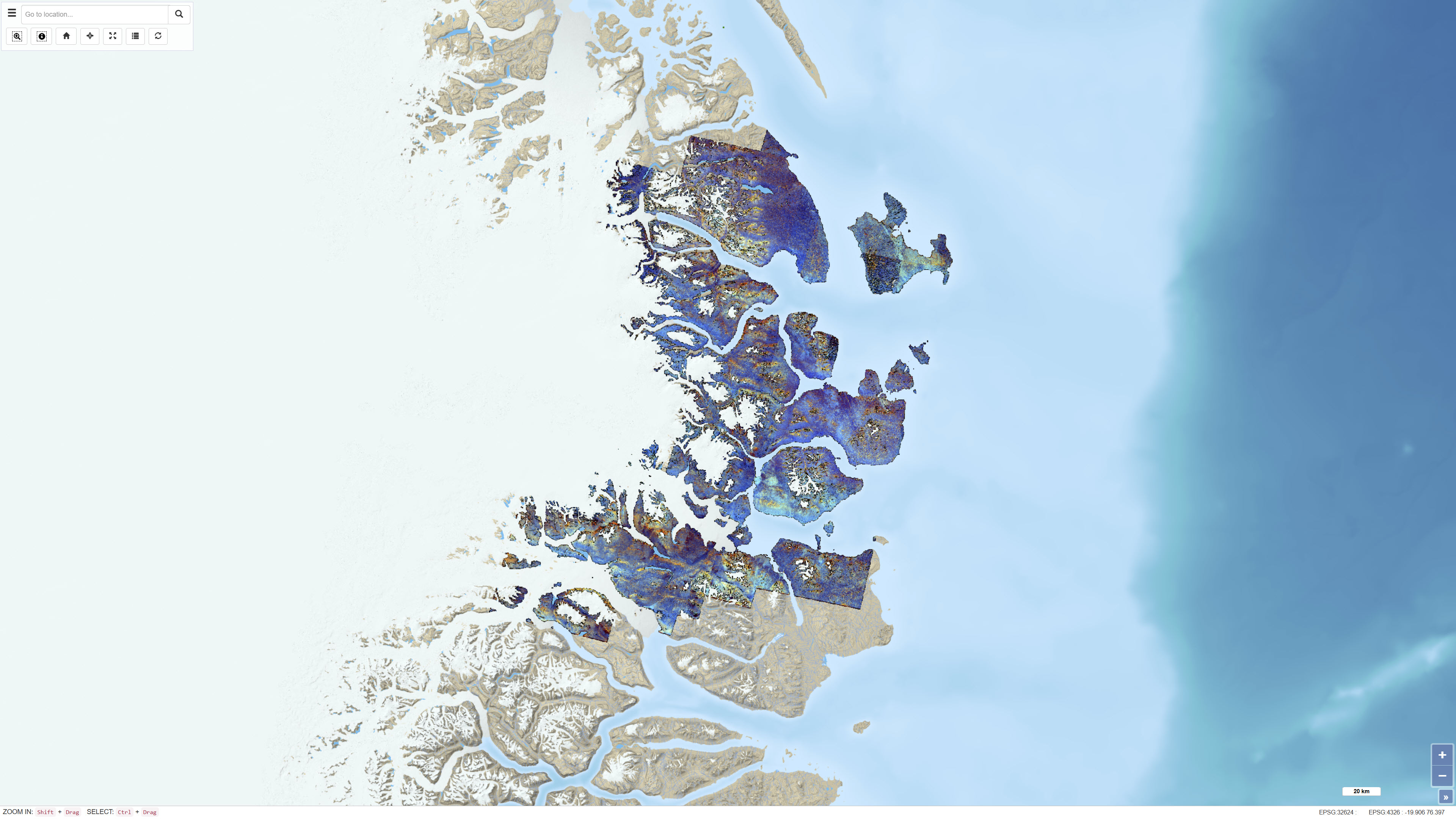
The dataset consists of a series of ASTER band ratios combined into colour composite images designed to highlight mineralogical distributions and lithological variability in Northeast Greenland. The ASTER scenes were preprocessed with atmospheric, radiometric and topographic corrections, including radiative transfer modelling using ATCOR-3 in rugged terrain mode. A surface elevation model was applied to adjust illumination effects. Non-outcrop pixels were masked prior to generating the final mosaic. Calibrated radiance data were converted to apparent surface reflectance; however, further calibration against ground-based reflectance measurements was not feasible. The dataset represents a derived remote sensing product and not primary satellite data.
-
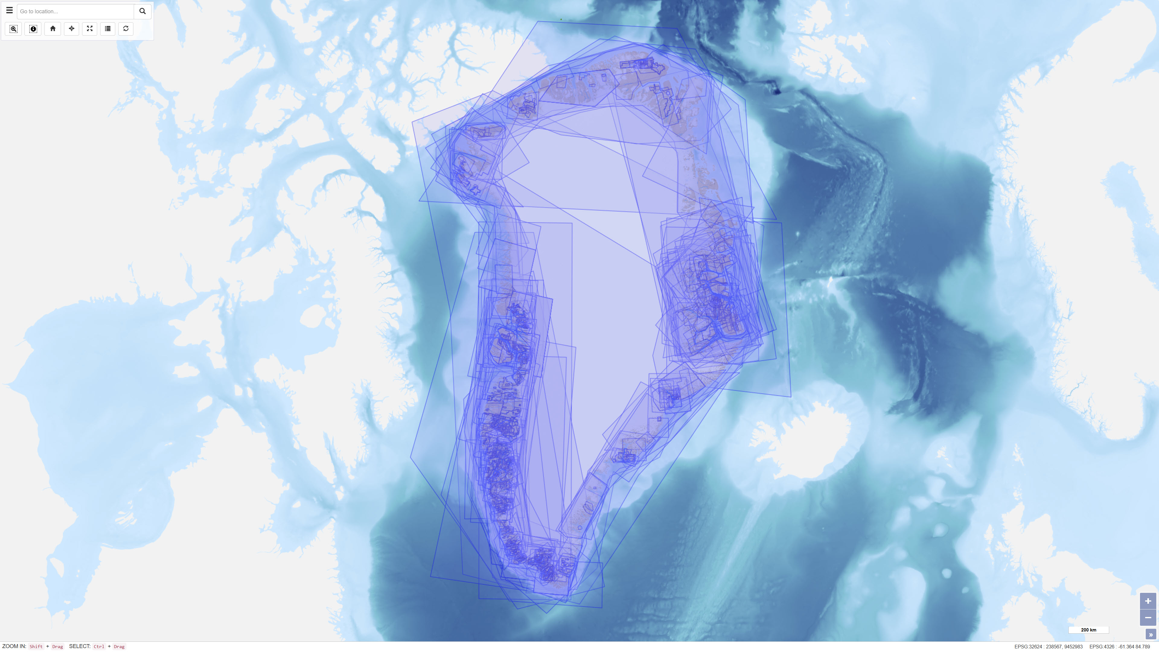
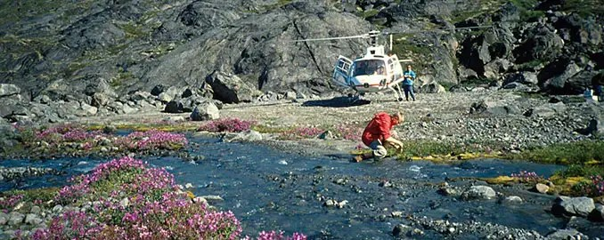
This dataset provides access to non-confidential mineral exploration licence reports and other geoscientific reports submitted to the Greenlandic authorities in accordance with the Mineral Resources Act of Greenland (effective 1 January 2010) and associated regulations. The reports are subsequently transferred to GEUS for archiving and dissemination. The database allows users to search reports using alphanumeric and geographic criteria, to access report metadata and to download available reports as PDF files. The dataset supports transparency and accessibility of geoscientific information related to mineral exploration activities in Greenland.
-
The dataset contains a summary of geological information for known mineral occurrence regions in Greenland. The information includes the geographic location, size, mineral commodities, mineralisation type, exploration history and a geological description of each occurrence or deposit. The data have been collected and compiled from field investigations conducted by geological surveys, academic researchers and mineral exploration companies. The dataset represents a regional synthesis of mineral occurrence information and provides an overview of the spatial distribution and geological context of known mineral resources in Greenland.
-
%20i%20Gr%C3%B8nland%20-%20datas%C3%A6t.jpg)
The dataset contains polygons representing active Small Scale Exclusive Licences (SSE) in Greenland. SSE licences are granted to individuals or small companies for small-scale mineral activities. The data are based on geographic information provided via WFS by the Ministry of Mineral Resources in Greenland and are redistributed without modification of the original boundaries. The dataset provides an overview of areas with valid small-scale licences.
-
The dataset contains geochemical analytical results for 725 heavy mineral concentrate samples collected by GEUS in Greenland as part of various geological mapping and mineral exploration activities. The samples originate from several campaigns, including a regional campaign conducted between 1982 and 1986 in the Nuuk area, a 1991 campaign in the southern Nuuk region, and samples collected in 2003 in the Qaanaaq region. Additional samples derive from smaller projects and campaigns with limited documentation. Analyses were carried out at different laboratories, including Activation Laboratories and Bondar-Clegg in Canada and Risø National Laboratory in Denmark. The dataset contains raw analytical results, and metadata concerning sampling procedures and analytical quality are not complete for all samples.
-
The dataset contains polygons representing applications for mineral-related activities in Greenland, including exploration and exploitation licences. The dataset includes different processing statuses such as Approval Applications, Licence Pending and Under Review. The data are based on geographic information provided via WFS by the Ministry of Mineral Resources in Greenland and are redistributed without modification of the original boundaries. The dataset provides an overview of areas where licence applications are under review or awaiting decision.
-
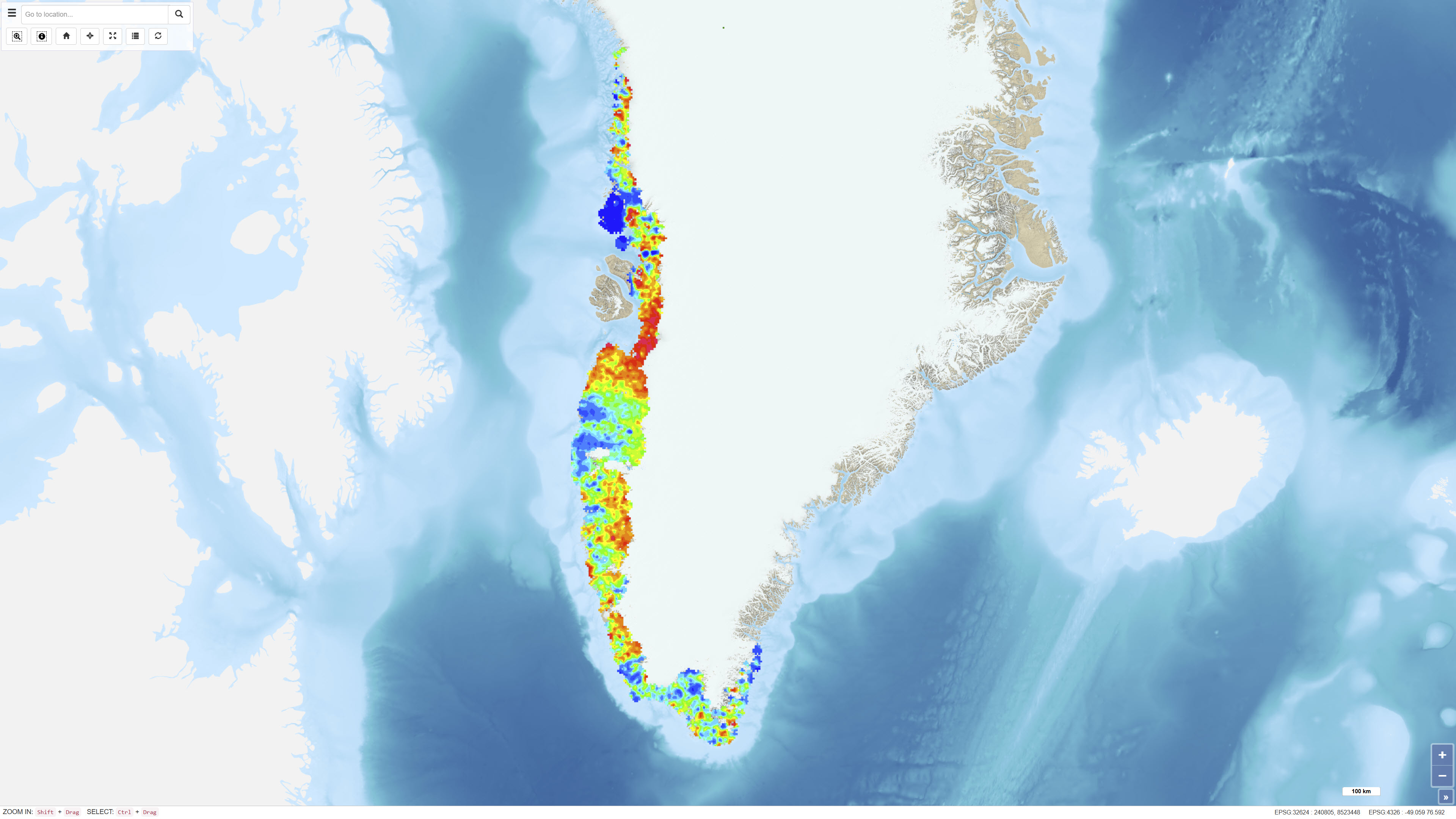
This dataset comprises regional geochemical stream sediment data from West and South Greenland and forms the basis of the Geochemical Atlas of West and South Greenland (Steenfelt, 2001). The Geochemical Atlas of West and South Greenland presents the results of a regional stream sediment geochemical mapping programme conducted between 1979 and 1998. A total of 7,122 stream sediment samples were collected from low-order streams with near-uniform spatial coverage across West and South Greenland. The <0.1 mm grain-size fraction of 500 g samples was analysed for major and trace elements using X-ray fluorescence spectrometry (XRF), instrumental neutron activation analysis (INAA), delayed neutron counting (DNC) and loss on ignition (LOI). After systematic calibration and quality control to eliminate analytical bias between different methods and time periods, a harmonised and internally consistent dataset was established containing up to 43 elements per sample. The atlas provides a regional overview of the geochemical composition of the minerogenic fraction of stream sediments and constitutes a geochemical baseline dataset for geological mapping and mineral exploration in Greenland.
-
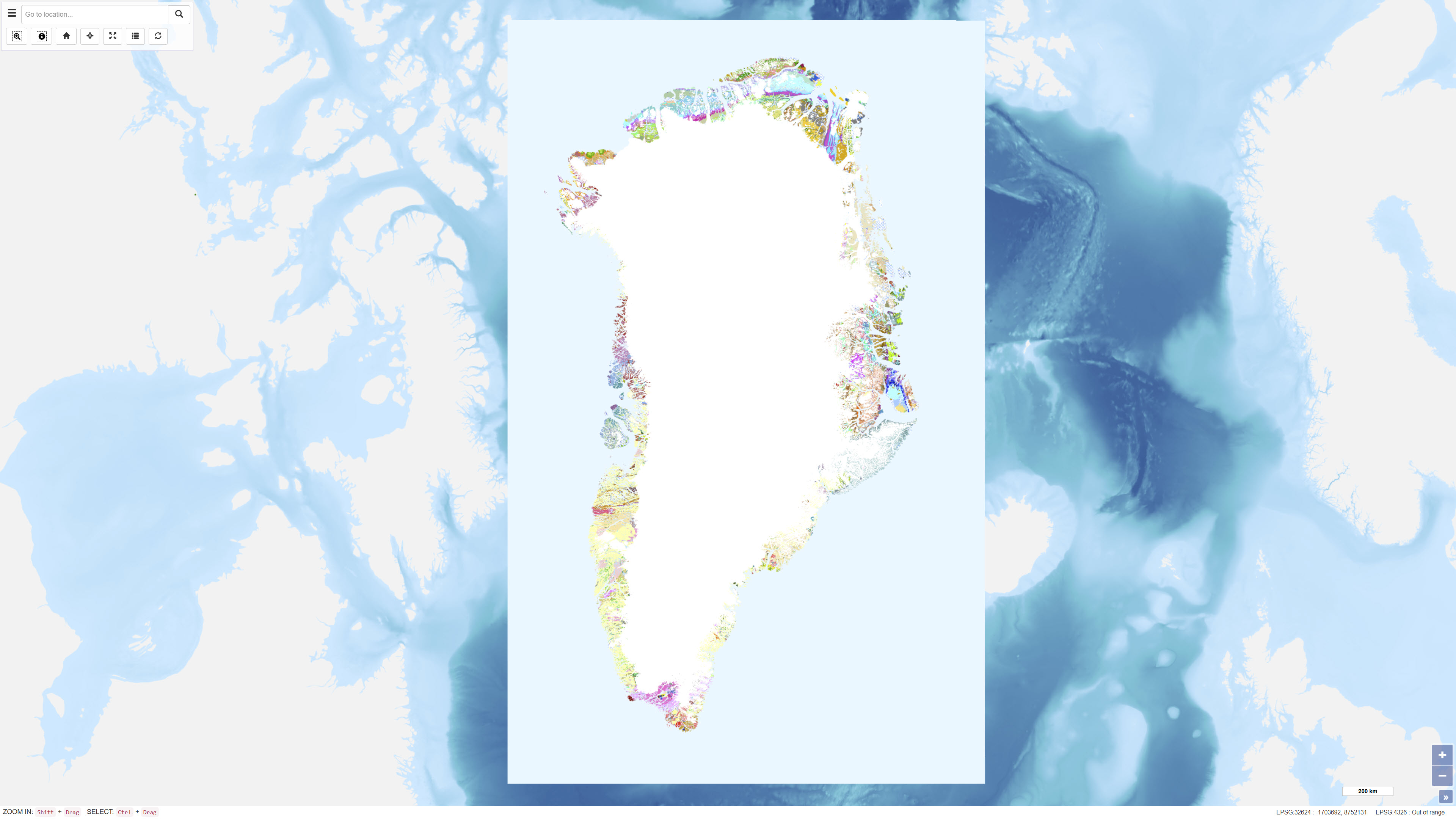
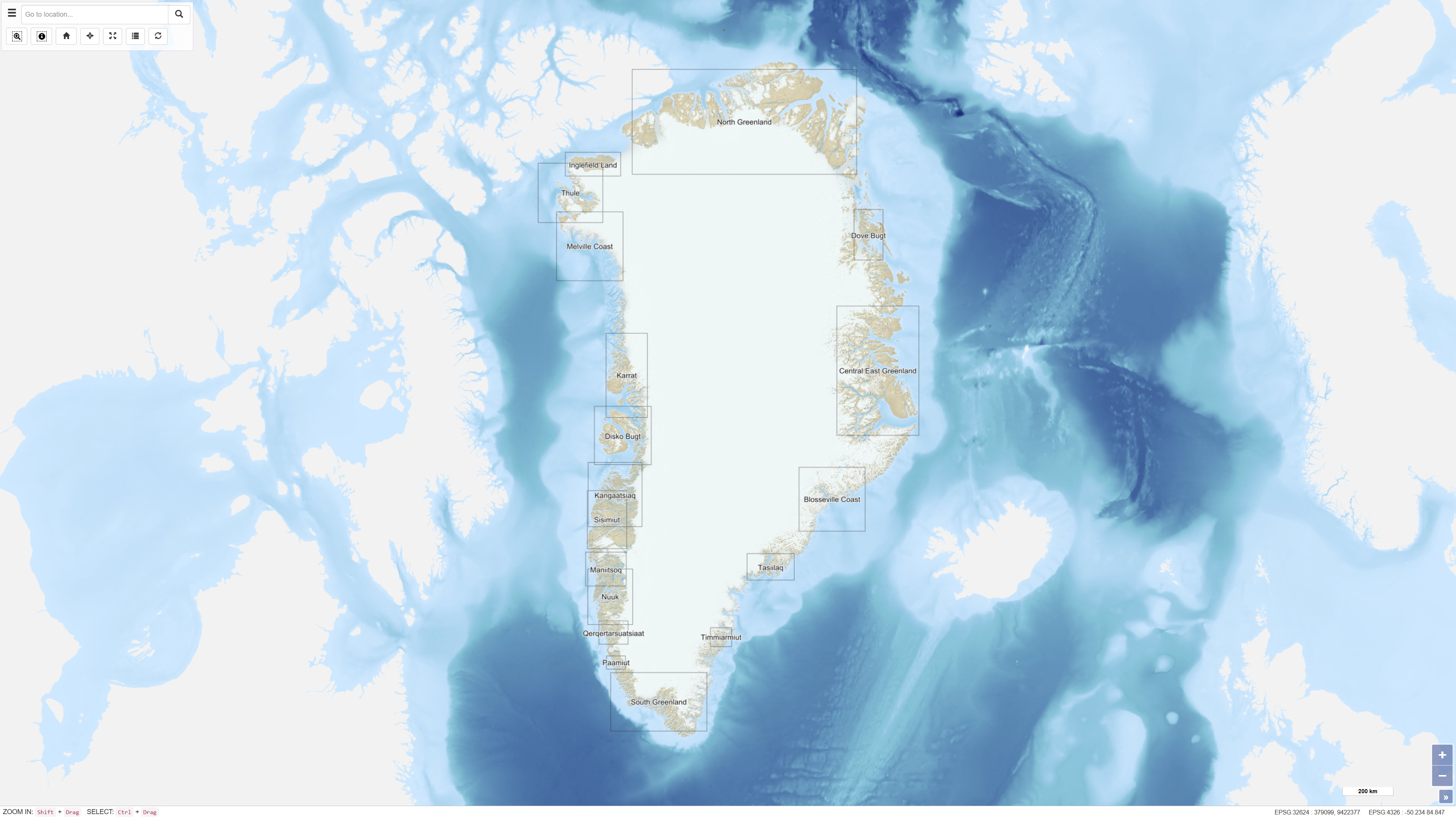
The geological map of Greenland at a scale of 1:500 000 is based on 14 digitised map sheets covering the whole of Greenland, with amendments in specific areas (Pedersen et al. 2013, GEUS Bulletin, DOI: 10.34194/geusb.v28.4727). The original digital version of the map was released through the Greenland Portal in 2012. Continued advances in geological knowledge have necessitated successive revisions in order to keep the map up to date. During the most recent update, a number of geographical areas were revised based on new geological data and interpretations, including parts of West Greenland, North Greenland, North-East Greenland, East Greenland and South-East Greenland. The updated map incorporates revised stratigraphic interpretations and improved representation of geological units and structures. The map has undergone extensive quality control, including complete harmonisation of lineaments and structural elements across map-sheet boundaries. The geological legend is dynamic and reflects the content of the current map view. Geological units are supported by descriptive information, and for most map polygons links are provided to a geological unit database containing further descriptions.
-
The dataset comprises spatial polygons (Tracts) representing areas in Greenland assessed as geologically permissive for specific mineral deposit types during mineral resource assessment workshops conducted between 2009 and 2014. Assessments were carried out following the principles of the U.S. Geological Survey “three-part quantitative assessment” method (Singer, 1993), except for the 2010 rare earth elements workshop. For each Tract, probabilistic estimates of the number of undiscovered deposits at different confidence levels are provided, along with statistical results from Monte Carlo simulations based on established grade-tonnage models. The assessments do not include economic, technical, environmental or social considerations.