 Arctic SDI catalogue
Geological Survey of Denmark and Greenland (GEUS)
Type of resources
Categories
Available actions
Topics
Keywords
Contact for the resource
Provided by
Formats
Representation types
Update frequencies
status
Scale
-
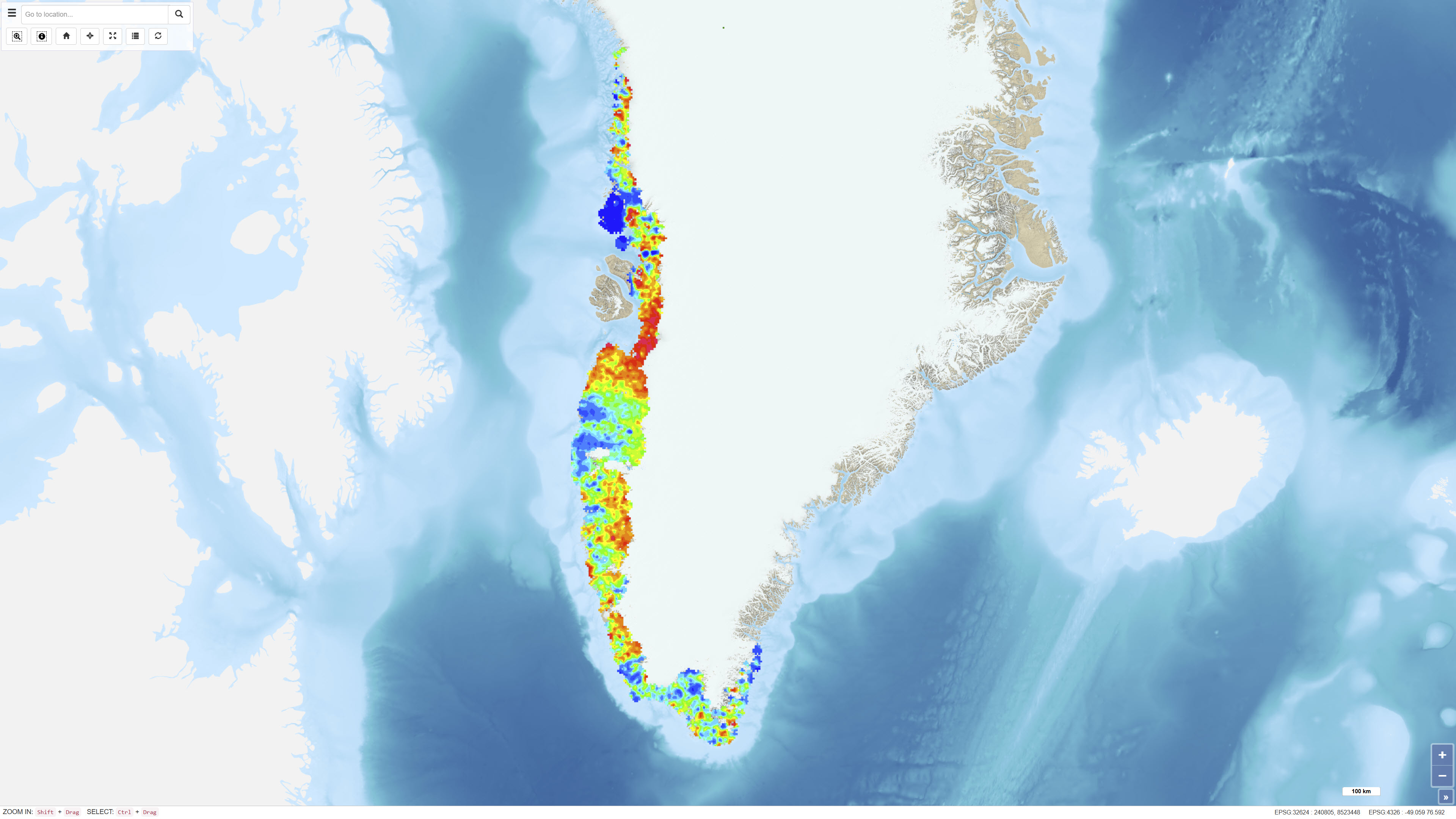
The dataset comprises digital element distribution maps based on geochemical analyses of stream sediments collected in West and South Greenland. The maps were produced as part of the geochemical mapping programme underlying the Geochemical Atlas of West and South Greenland. The data represent analyses of various elements in defined grain-size fractions and provide a regional overview of geochemical variations.
-
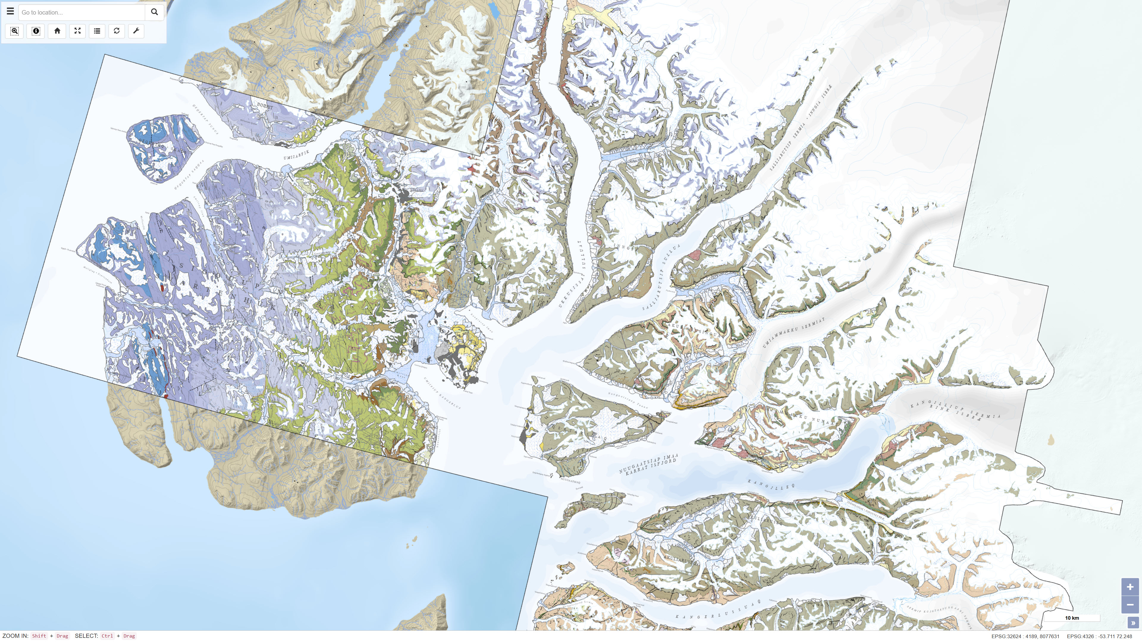
This dataset contains a seamless digital geological map of the Karrat area in central West Greenland based on four geological map sheets at a scale of 1:100 000: Maarmorilik 71 V.2 South, Nuugaatsiaq 71 V.2 North, Pannertooq 72 V.2 South and Svartenhuk 71 V.1 North. Geological mapping was carried out in the fjord regions north of Uummannaq as part of a collaborative project between the Geological Survey of Denmark and Greenland (GEUS) and the Ministry of Mineral Resources and Justice of Greenland. The dataset is based on 3D photogeology using more than 35,000 oblique photographs collected during three field seasons combined with traditional field observations and subsequent geochemical and geochronological analyses. The dataset provides an updated geological understanding of the meta-sedimentary and meta-volcanic rocks of the Karrat Group, the structural evolution of the Rinkian Orogen and the structure of the West Greenland Basalt Group. The dataset supports geological research, regional geological mapping and mineral exploration.
-
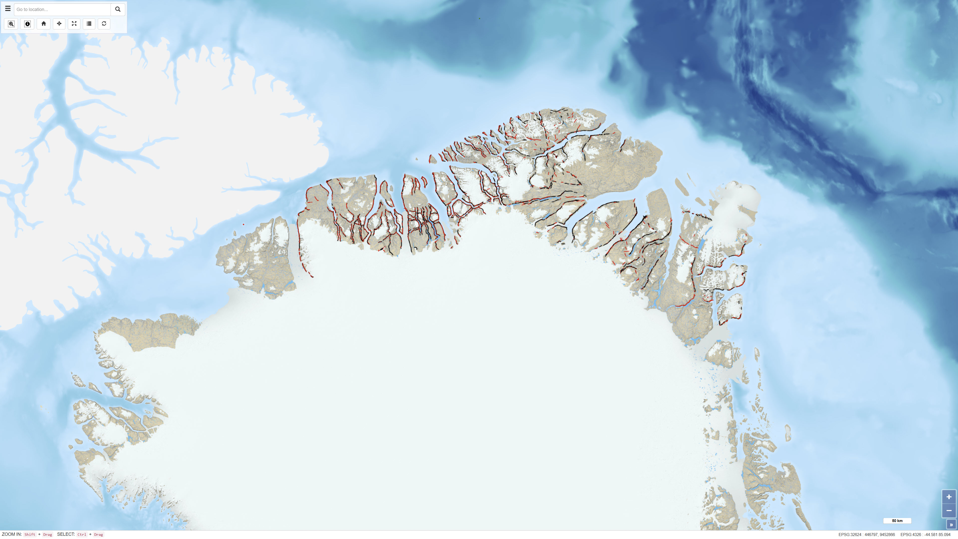
The dataset comprises more than 6,400 oblique aerial photographs acquired during the systematic 1:500,000 geological mapping programme in North Greenland carried out by the Geological Survey of Greenland (now GEUS) between 1978 and 1985. The photographs document steep fjord and valley walls and were collected as part of geological field investigations. The images have been digitised and made available through a web-based interface, allowing users to access individual photographs, their geographic locations and associated geological coding linked to the regional geological map. The dataset represents a systematic visual documentation of geological features in North and Northeast Greenland.
-
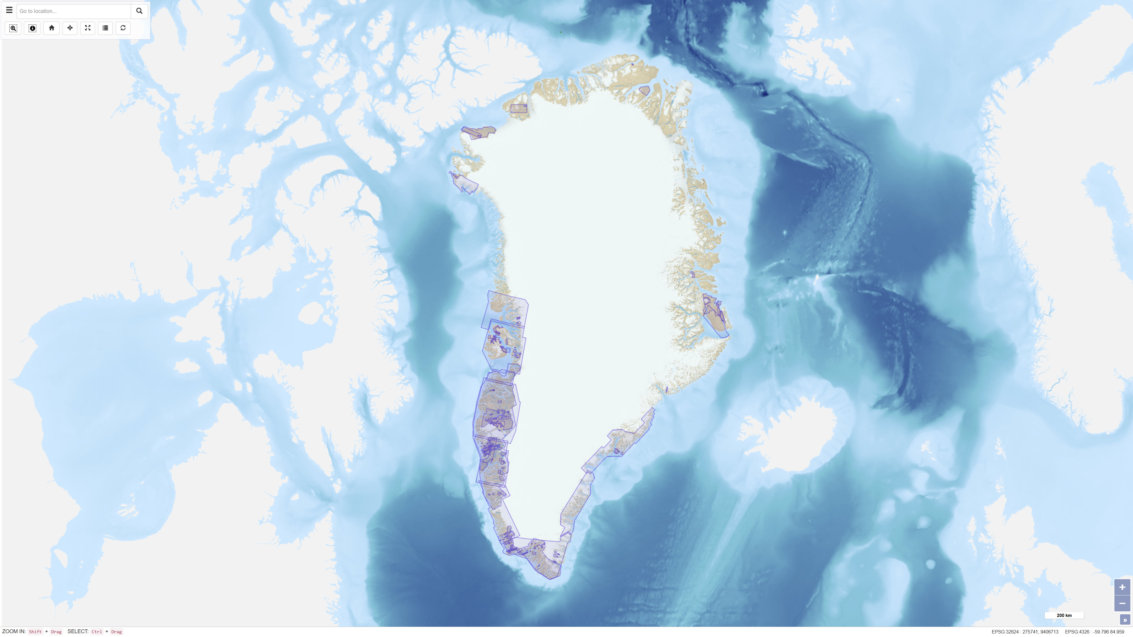
The dataset comprises geophysical survey data available through the Greenland Mineral Resources Portal. The data include both released company data and publicly funded survey data, primarily airborne electromagnetic (AEM) and aeromagnetic (Aeromag) surveys. The AEM Greenland 1994–1998 project encompassed high-resolution, multi-parameter airborne surveys including electromagnetic, magnetic and partly radiometric measurements conducted between 1994 and 1998, producing approximately 75,000 line kilometres of data. The Aeromag projects included high-resolution airborne magnetic surveys conducted in 1992, 1995, 1996, 1997, 1998, 1999, 2001, 2012 and 2013, producing more than 550,000 line kilometres of data. The projects were financed by the governments of Greenland and Denmark. The dataset provides regional geophysical coverage supporting geological interpretation, mineral exploration and geoscientific research in Greenland.
-
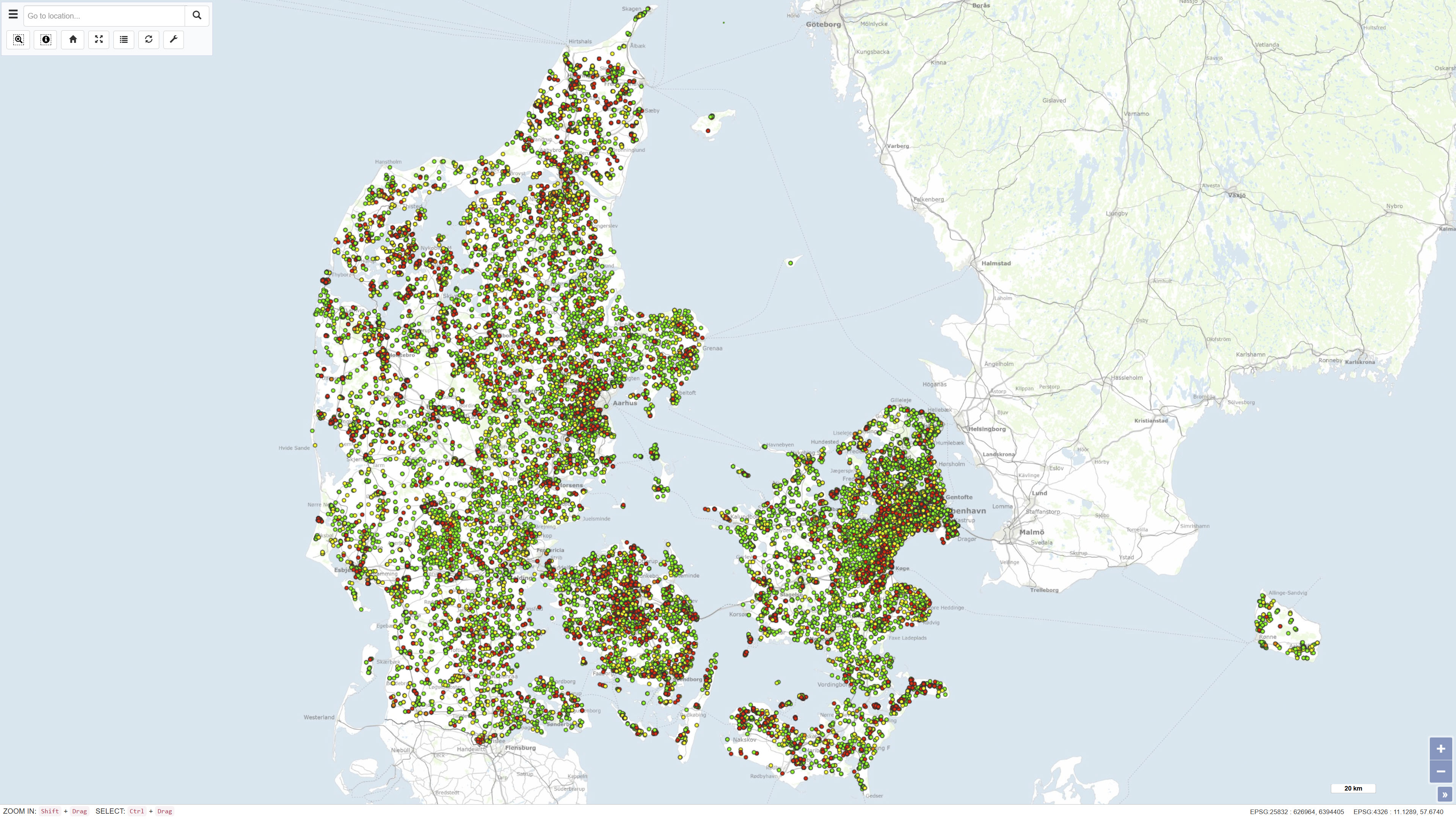
Results from laboratory analyses of related to monitoring the quality of water wells and drinking water taps in household. This dataset is part of GEUS' nation-wide database for shallow boreholes, the common public database and is part of Denmarks Environmental Portal. The database is publicly available and is continually updated.
-
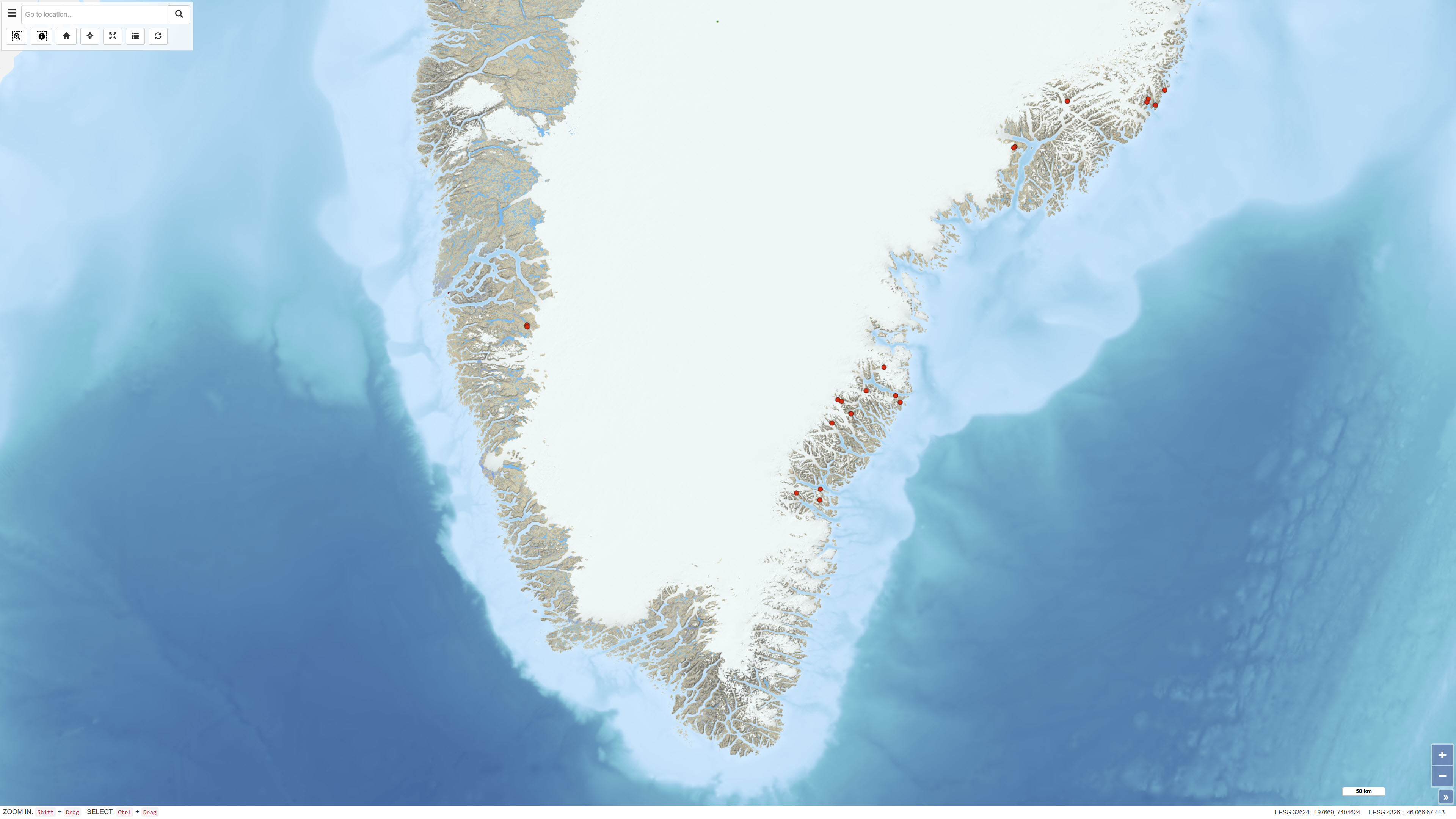
The dataset contains geochemical analyses of 49 scree (talus) samples collected in Greenland as part of regional geochemical mapping programmes conducted by the Geological Survey of Greenland (GGU), later GEUS, between 1977 and 1997. Scree samples were collected in areas where neither stream sediment nor soil sampling was feasible. The samples represent near-surface material derived from local bedrock and were analysed for major and trace elements using laboratory methods available at the time of collection. The dataset supplements regional geochemical data from stream sediment and soil samples and forms part of the overall basis for geochemical mapping in Greenland.
-
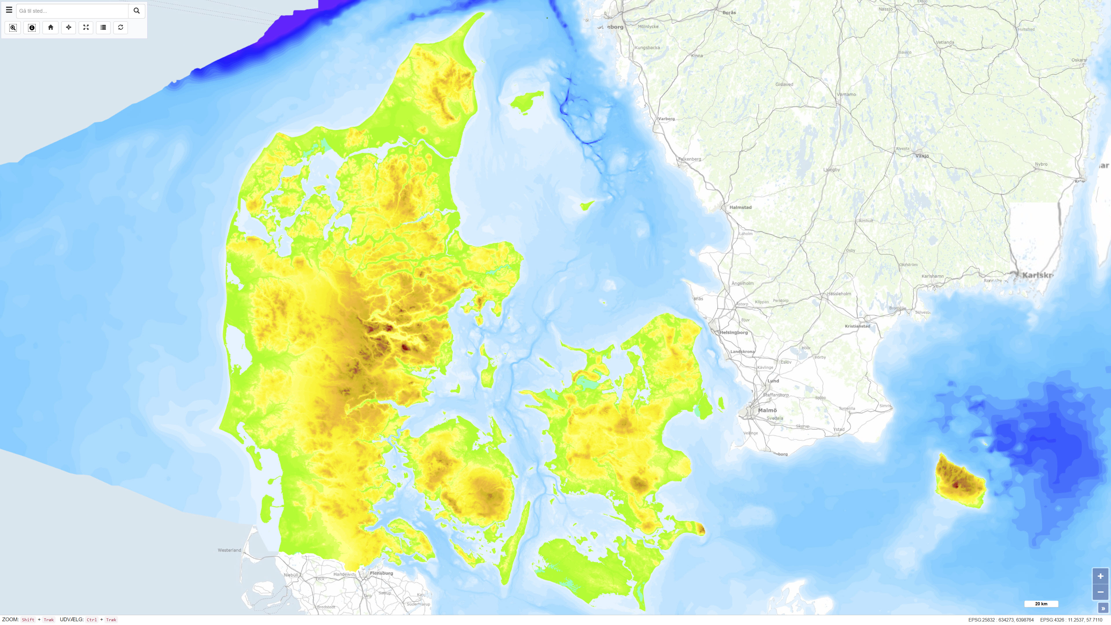
The Height and Depth Map of Denmark is a coherent map showing both land elevation above sea level and sea depth within the Danish area. The map is based on elevation and bathymetric data represented by 5-metre contour intervals closed to polygons and provides continuous coverage across the land–sea boundary. The dataset offers an integrated overview of terrain and bathymetry in Denmark and surrounding waters. The terrestrial elevation component is derived from topographic data suitable for use at scales down to approximately 1:25.000, while the bathymetric component is compiled from datasets of varying origin and resolution. The map was originally assembled around 1997, with subsequent updates to the Danish land areas carried out during 2005–2006. The dataset is primarily intended for regional visualisation and analysis.
-
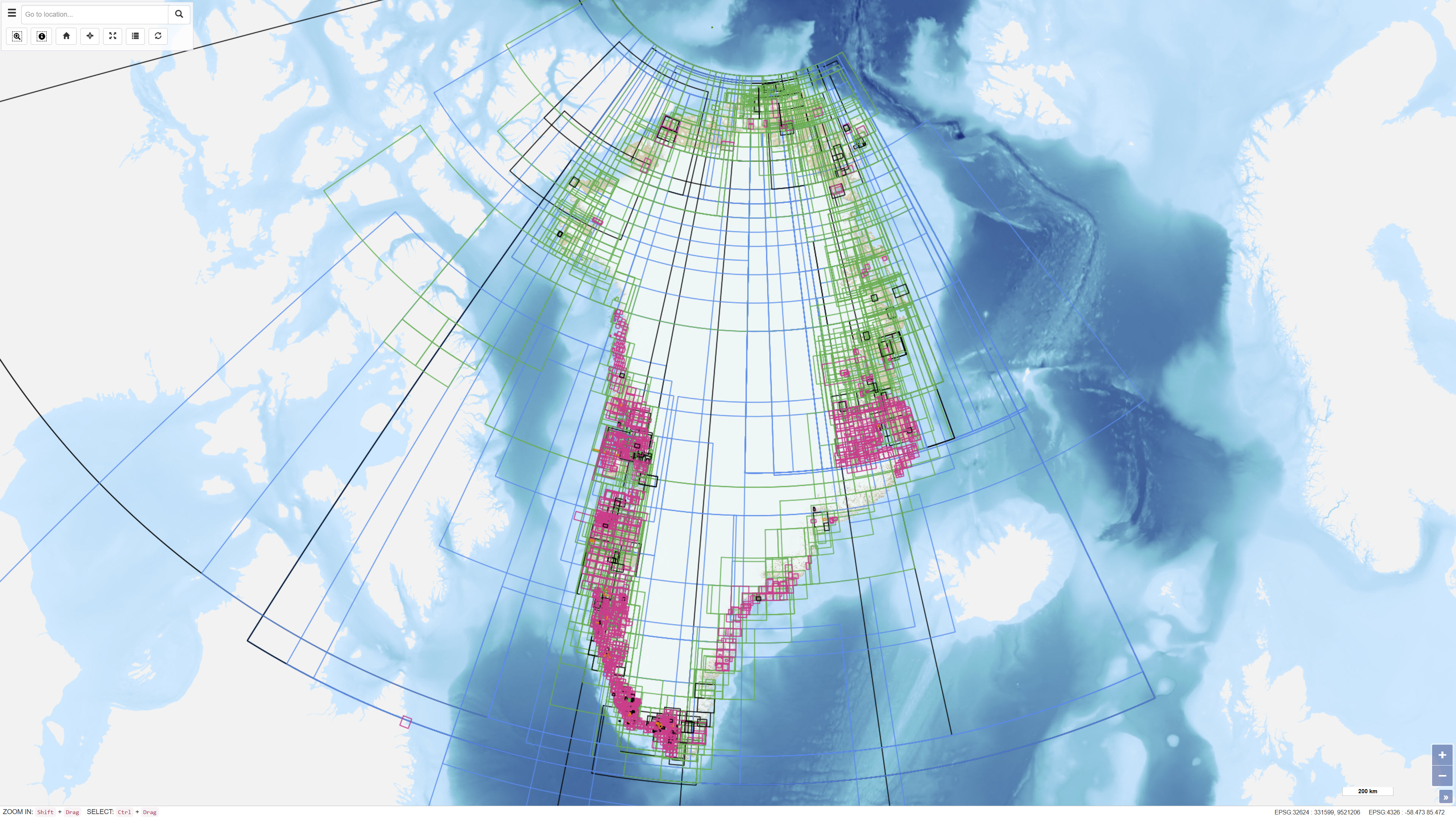
The dataset represents an index layer showing the geographic extent of archived and unpublished historical geological maps and sections from Greenland. The layer functions as a search and reference tool and does not contain the original map material. The dataset supports identification and access to historical geological archive documents.
-
The Samba database contains information about geophysical investigations made in the Danish sector, acquired according to the Danish Act on the Use of the Subsoil. The data is acquired in relation to investigation for oil/gas, geothermal energy, the storage of gas or salt. That is: Seismic (2D & 3D) acquisitions, CSEM as well as other magnetic and gravity acquisitions shipborne as well as airborne. The dataset also contains geophysical measurement performed in the deep wells and meta data about the seismic surveys. The data has been submitted by the licensees. The database is updated on an ongoing basis.
-
The National well database (Jupiter) among other things contains water level measurements from Danish wells. The database contains water level measurements from the municipalities, the groundwater-monitoring program, the regions soil pollution investigations and from the establishment of new wells.