 Arctic SDI catalogue
Geodata
Type of resources
Available actions
Topics
Keywords
Contact for the resource
Provided by
Years
Formats
Representation types
Update frequencies
status
Scale
Resolution
-
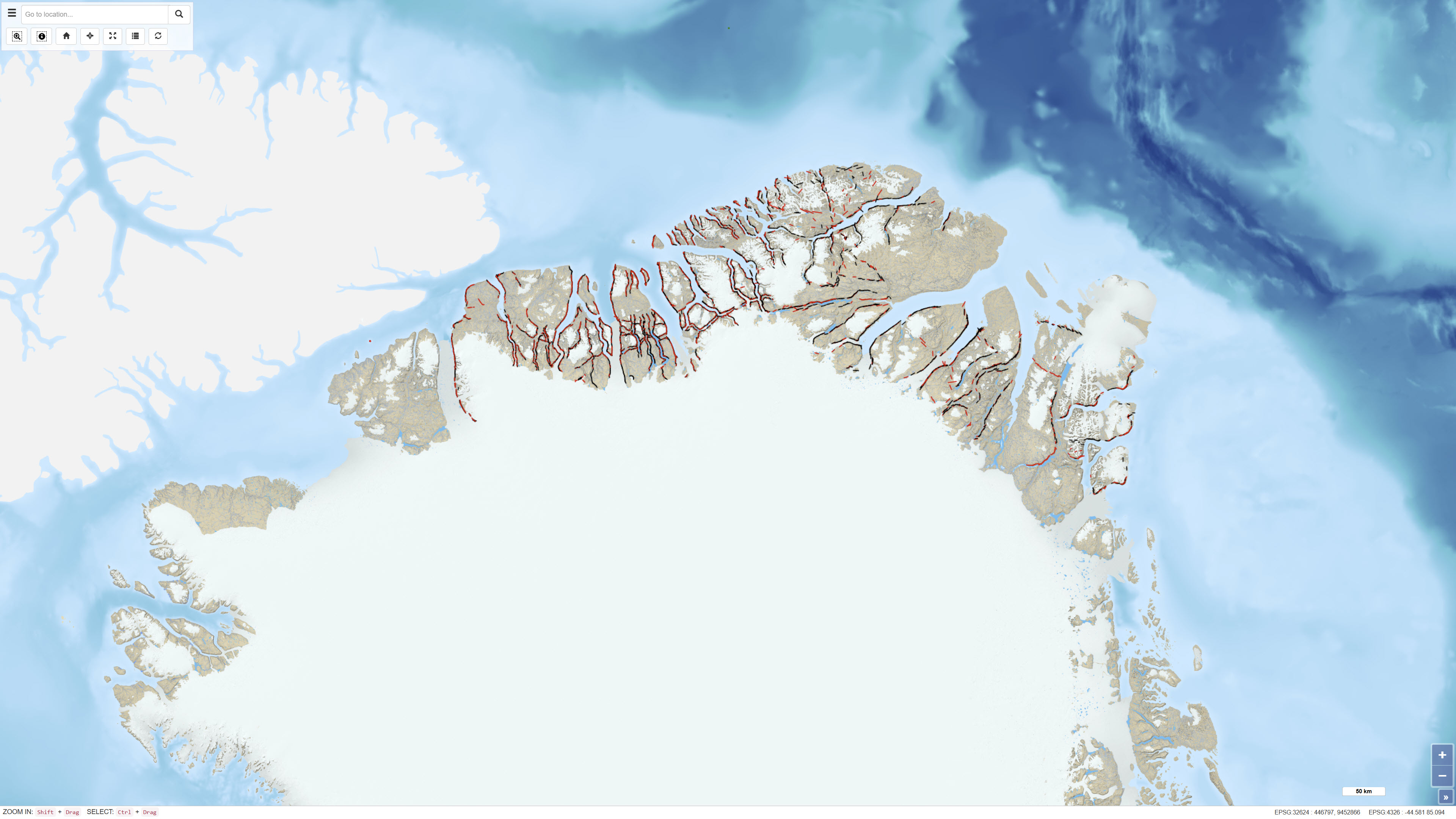
The dataset comprises more than 6,400 oblique aerial photographs acquired during the systematic 1:500,000 geological mapping programme in North Greenland carried out by the Geological Survey of Greenland (now GEUS) between 1978 and 1985. The photographs document steep fjord and valley walls and were collected as part of geological field investigations. The images have been digitised and made available through a web-based interface, allowing users to access individual photographs, their geographic locations and associated geological coding linked to the regional geological map. The dataset represents a systematic visual documentation of geological features in North and Northeast Greenland.
-
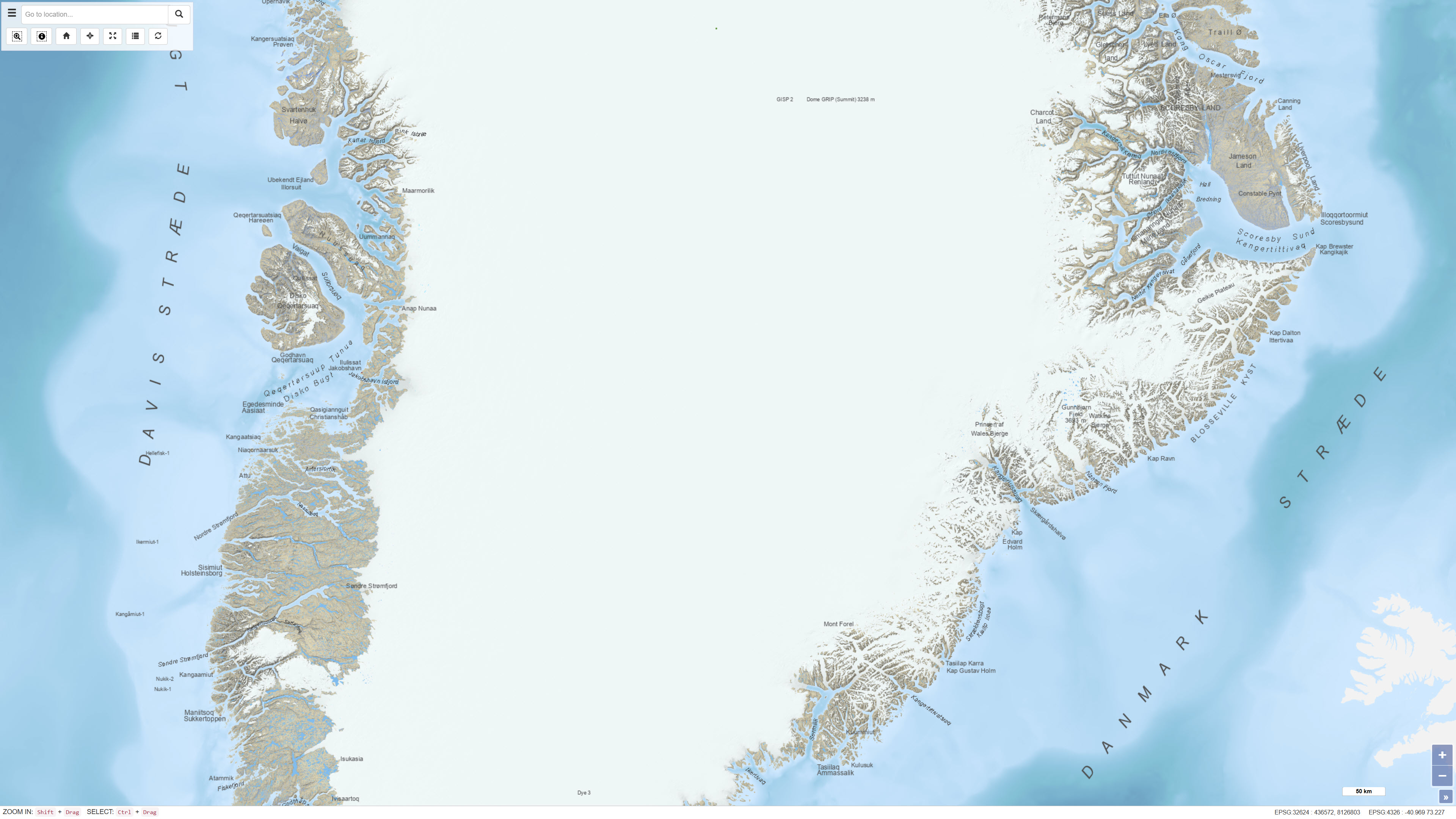
The dataset consists of three different datasets with combined place names in various geological maps: Geological map of Greenland 1:2.500.000, Geological maps of Greenland 1:500.000 and Topographic map of Greenland 1:250.000.
-
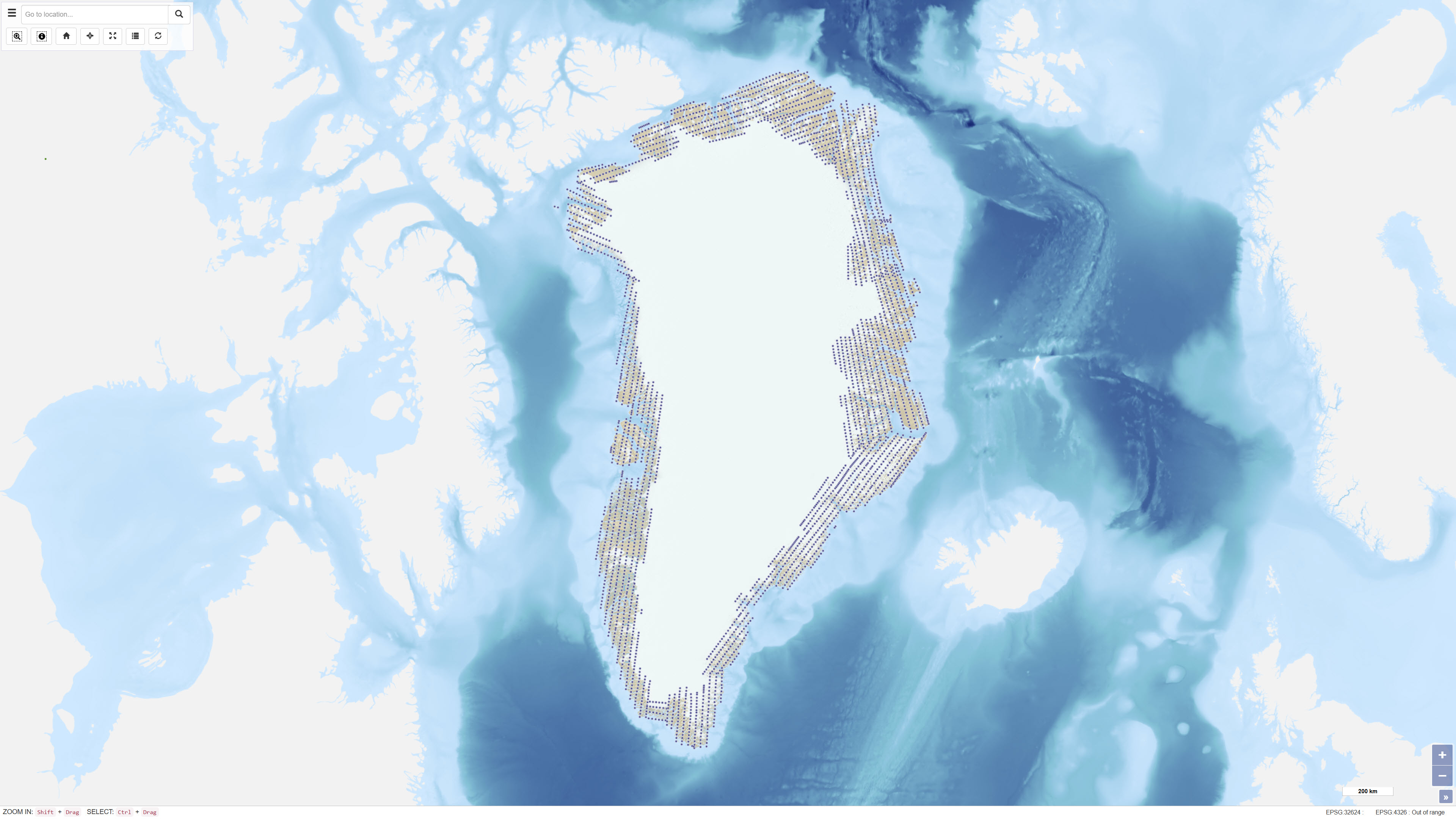
Uniform vertical aerial photographic coverage of Greenland was achieved between 1978 and 1987 at a scale of 1:150.000 by Mark Hurd Aerial Surveys, Inc., Minneapolis, Minnesota, U.S.A., on behalf of the Danish Geodetic Institute. The photography provided systematic nationwide coverage and formed a fundamental reference dataset for mapping and geodetic purposes. The black-and-white photographs were acquired using a Wild RC-10 camera equipped with a super wide-angle lens (focal length 88 mm). The aircraft used was a Gates Learjet 25C, flying at approximately 14 km altitude to achieve the image scale of 1:150.000. To minimise blind areas caused by steep mountain slopes in combination with the wide-angle lens, photographs were acquired with 80% forward overlap and 40% side overlap. Photo centre coordinates were established through aerotriangulation performed by the Danish Geodata Agency. The dataset has subsequently been used for mapping, aerotriangulation and scanning applications.
-
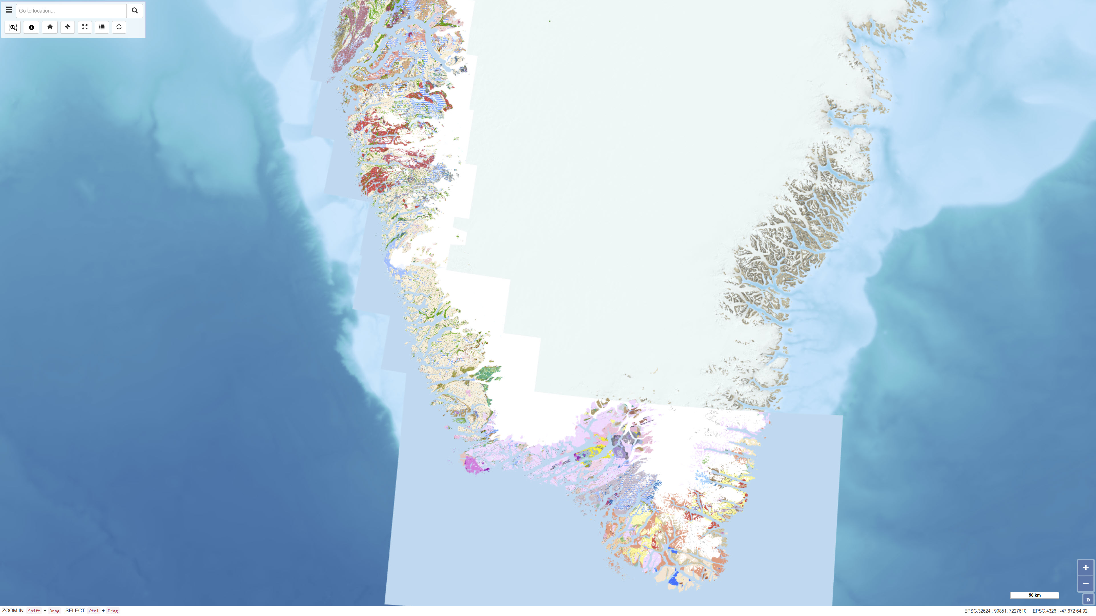
The seamless digital geological map is based on the digitisation and harmonisation of 21 geological map sheets at 1:100 000 scale, originally published by GGU/GEUS between 1966 and 2011. This edition updates and expands the 2019 version, which included 16 sheets, by integrating five additional 1:100 000 sheets and selected information from 1:500 000 scale maps in areas lacking detailed coverage. The map also incorporates a simplified geological interpretation of Bjørneøen and Storeø in Godthåbsfjorden based on detailed mapping by Claus Østergaard (2005). The dataset provides a consistent, seamless geological framework optimised for digital display at the 1:100 000 scale.
-
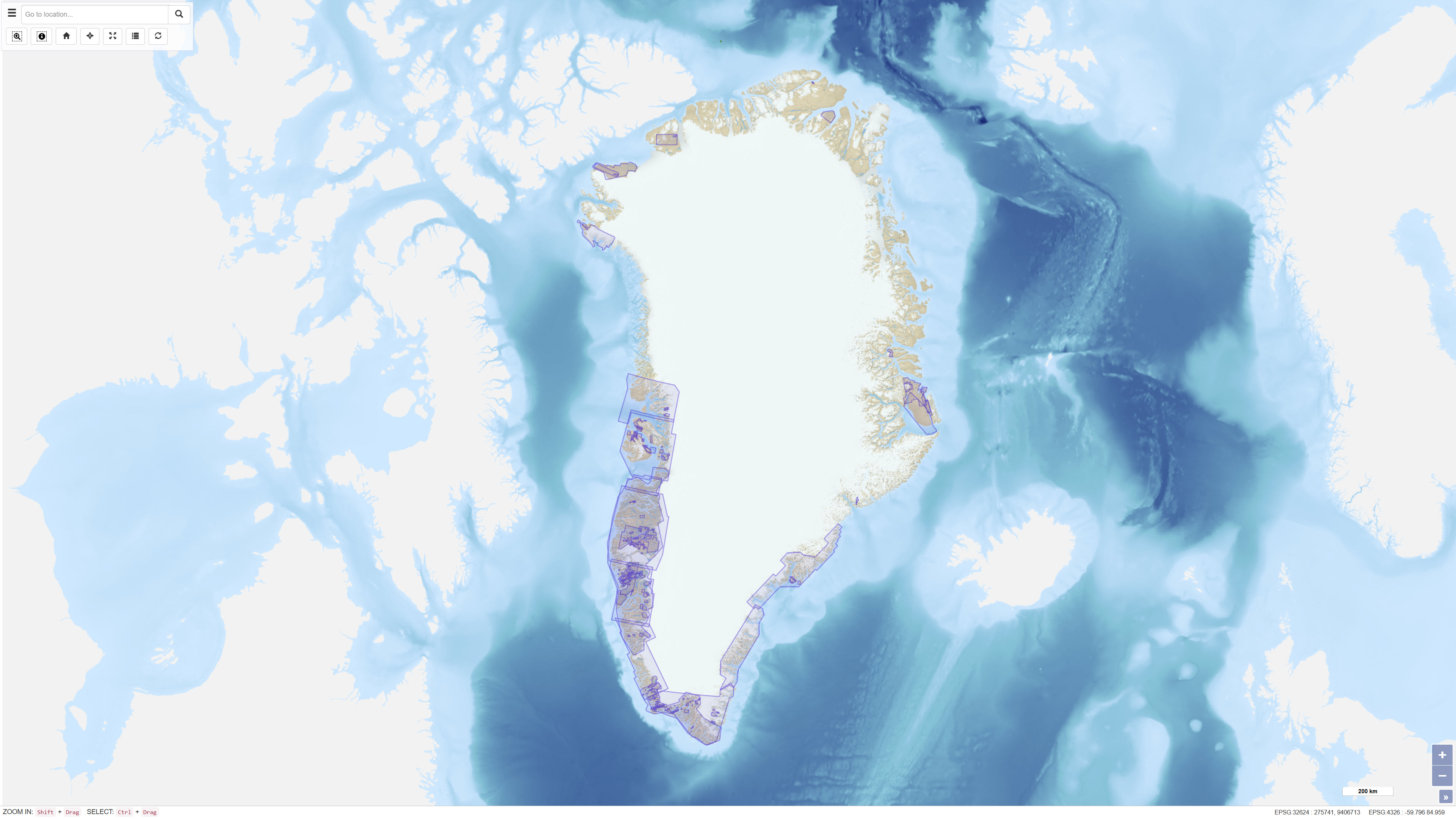
The dataset comprises geophysical survey data available through the Greenland Mineral Resources Portal. The data include both released company data and publicly funded survey data, primarily airborne electromagnetic (AEM) and aeromagnetic (Aeromag) surveys. The AEM Greenland 1994–1998 project encompassed high-resolution, multi-parameter airborne surveys including electromagnetic, magnetic and partly radiometric measurements conducted between 1994 and 1998, producing approximately 75,000 line kilometres of data. The Aeromag projects included high-resolution airborne magnetic surveys conducted in 1992, 1995, 1996, 1997, 1998, 1999, 2001, 2012 and 2013, producing more than 550,000 line kilometres of data. The projects were financed by the governments of Greenland and Denmark. The dataset provides regional geophysical coverage supporting geological interpretation, mineral exploration and geoscientific research in Greenland.
-
%20-%20datas%C3%A6t.jpg)
The development of the new magnetic compilation for Greenland (GREENMAG) was initiated in 2021 by the Satellite and Aerogeophysics group at Christian-Albrechts-University (CAU) in Kiel, Germany, in collaboration with GEUS as part of the ESA project GOCE+Greenland. The presented magnetic anomaly map covers all of Greenland, including the Inland Ice and adjacent shelf areas. The map is based on all available modern regional aeromagnetic surveys from Greenland and also includes satellite-based magnetic data where airborne data are not available. The purpose of the compilation is to provide a consistent regional magnetic anomaly map for use in geological interpretation and geoscientific analyses.
-
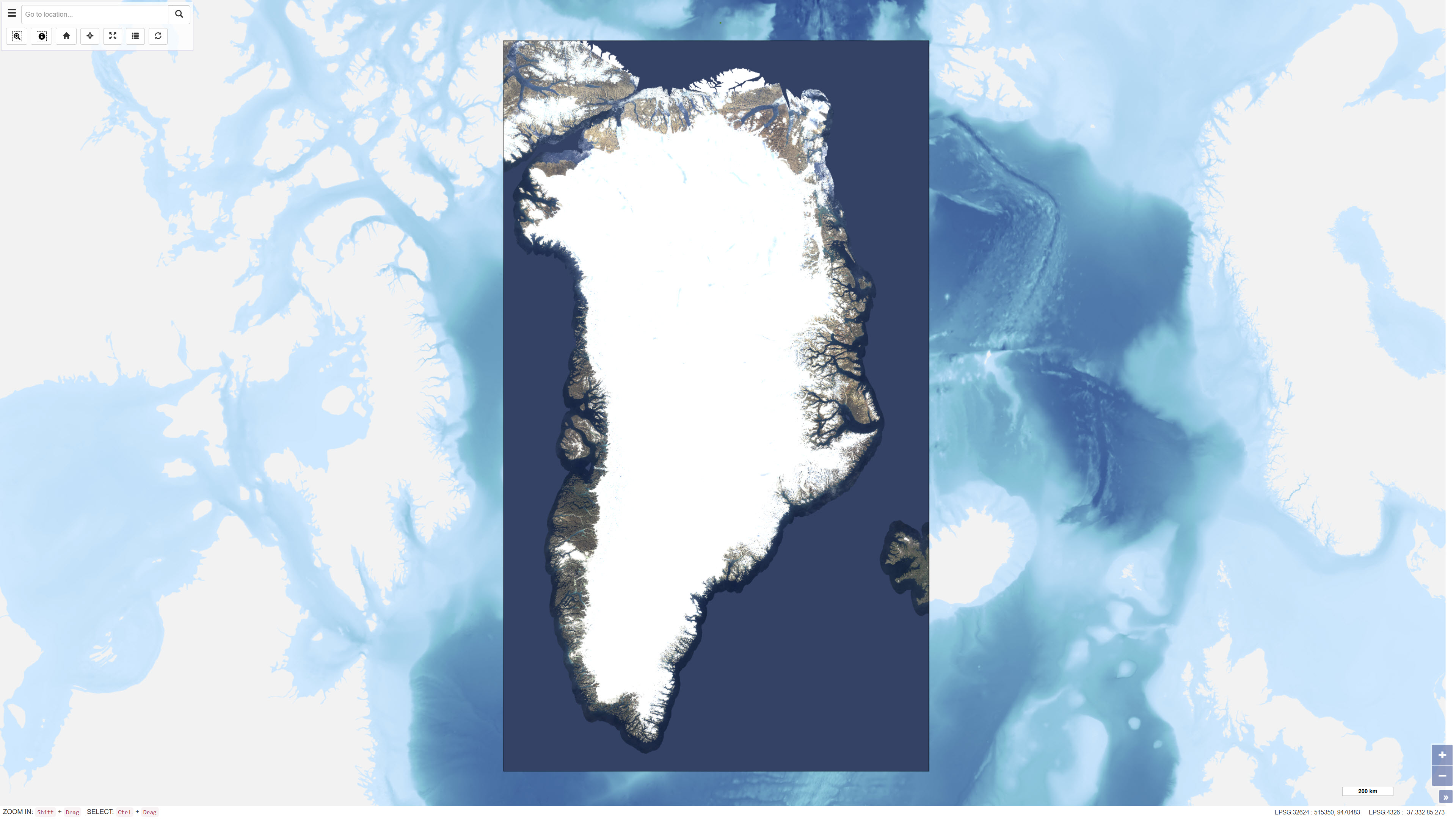
EOxCloudless is a global satellite imagery dataset consisting of near-cloudless mosaics derived from Copernicus Sentinel-2 multispectral satellite data. The dataset is produced by EOX IT Services GmbH and is designed to provide consistent, high-resolution surface imagery for mapping, analysis, and visualization purposes. The mosaics are generated by combining a large number of Sentinel-2 Level-1C observations acquired over defined time periods. Advanced pixel selection algorithms and thematic masks (including clouds, cloud shadows, and water) are applied to reduce cloud contamination. For each pixel location, the most representative observation is selected based on statistical criteria and temporal analysis, resulting in near-cloudless composite images. The dataset provides global land coverage and is typically delivered at a spatial resolution of 10 metres for the utilised spectral bands (blue, green, red, and near-infrared). EOxCloudless is suitable for use as a basemap as well as for environmental monitoring, land analysis, spatial planning, and other geoscientific applications.
-
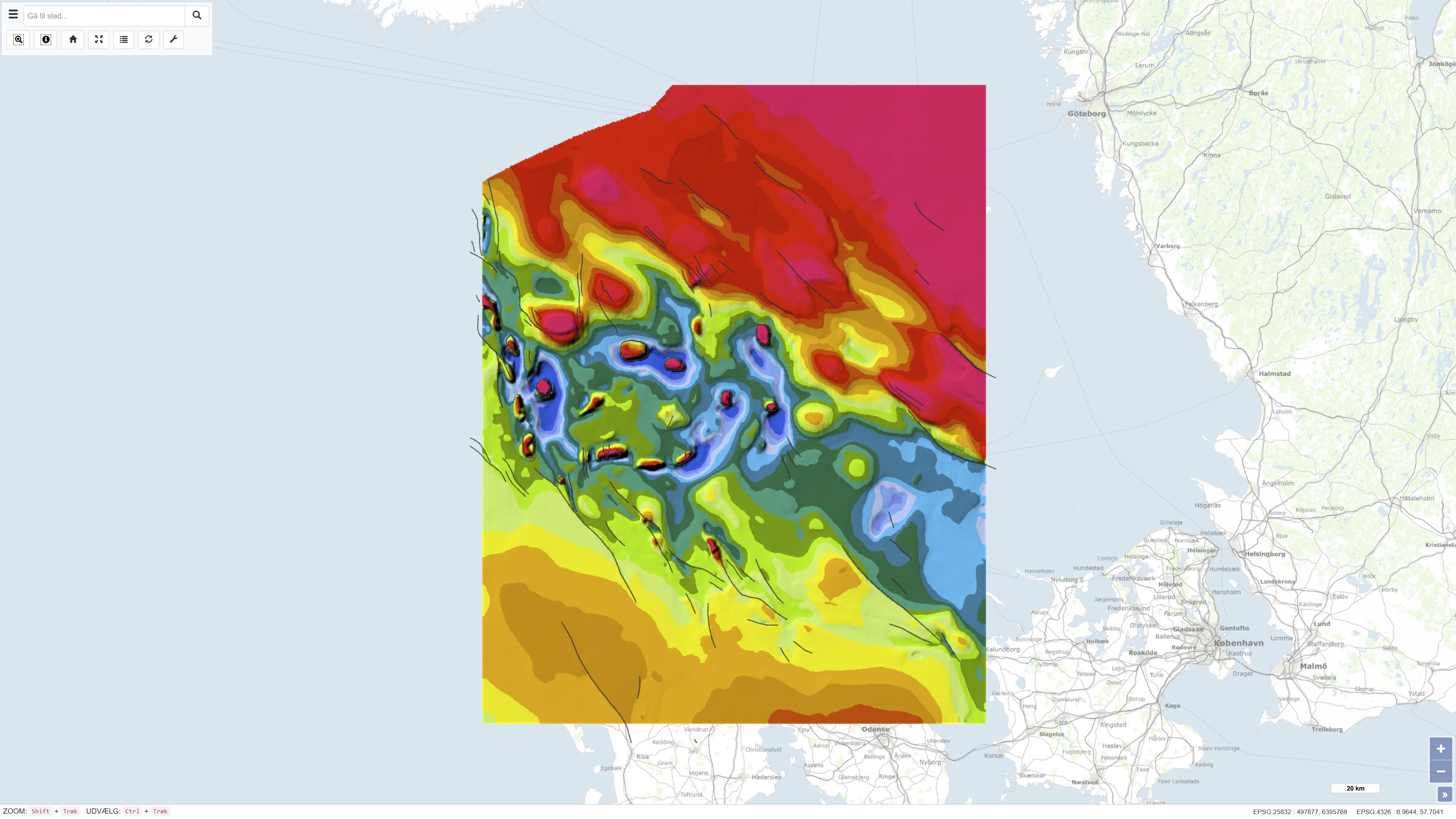
The dataset comprises a geological structural map of the Danish Basin at a scale of 1:500,000 showing the structure of the chalk surface (Top Chalk). The map was published in 1991 as part of the DGU Map Series no. 7 and is based on regional geological interpretation of borehole data and seismic data. The data basis includes deep onshore boreholes, seismic profiles from hydrocarbon exploration, and seismic surveys from the inner Danish waters. The map covers Denmark and adjacent marine areas and was produced to support regional geological understanding of the structure of the chalk surface in the Danish Basin.
-
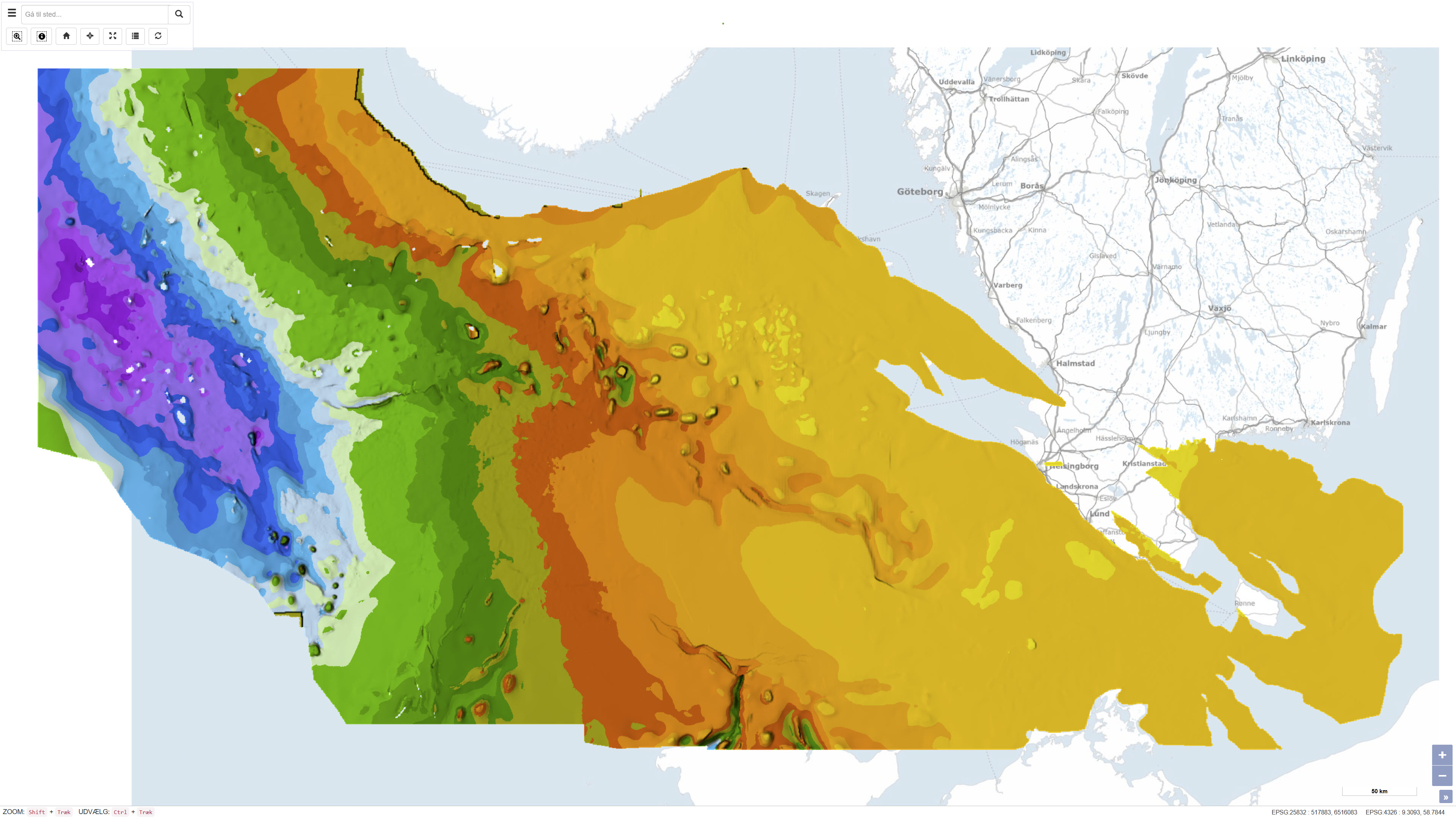
This dataset represents the structure and topography of the Top Chalk surface, i.e. the top of the Chalk Group (including Upper Cretaceous to Danian), in the Danish subsurface. The map illustrates regional variations in the depth and structural configuration of the chalk surface from the central North Sea to the eastern Danish areas. It is based on an integrated geological and geophysical interpretation of seismic profiles, well data and earlier mapping. The map provides an essential basis for geological, geophysical and subsurface reservoir analyses.
-
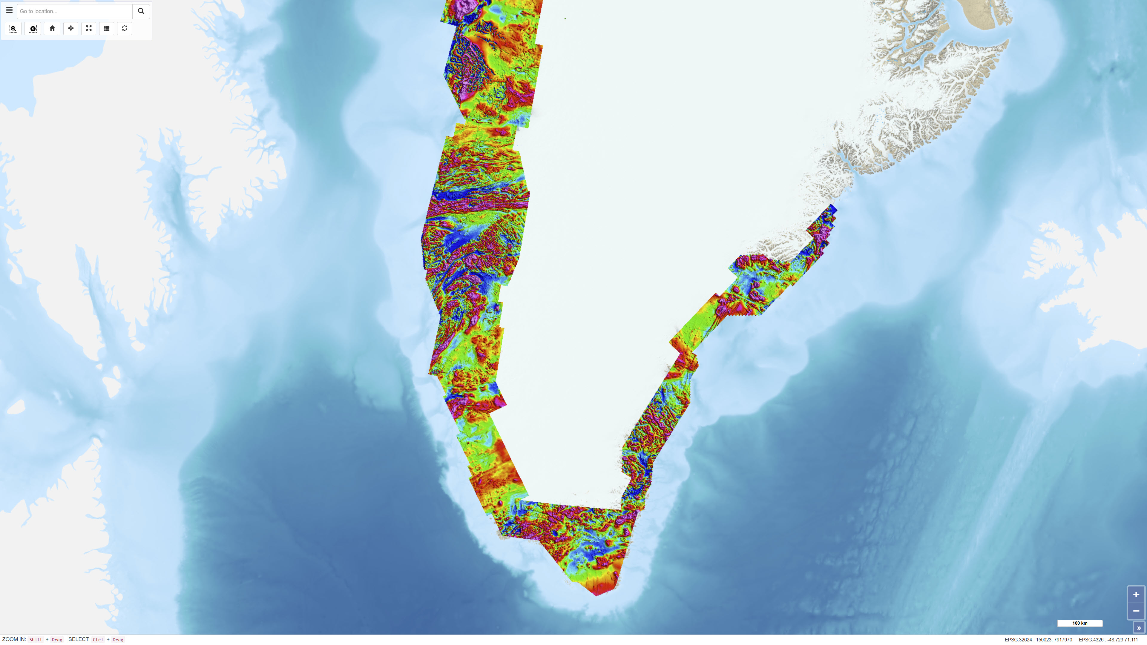
The Regional AEROMAG 1992–2013 Surveys comprise a compilation of high-resolution airborne magnetic surveys acquired by GGU/GEUS between 1993 and 2013 and financed by the Government of Greenland. The overlapping surveys cover approximately 300,000 km² and include the total ice-free onshore areas and near-coastal offshore regions of West Greenland, South Greenland and southern East Greenland. All surveys were acquired using aircraft with similar flight parameters, including line spacings of 500–1,000 m and cross-line spacing of approximately 5,000 m, and with flight altitudes of about 300 m above ground level or seafloor along gently draped surfaces. These consistent acquisition parameters allow the individual surveys to be integrated into a coherent, high-quality regional magnetic data compilation. The total magnetic anomaly map was generated by merging grids from separately processed datasets using the grid-knitting module in Oasis Montaj. The data are IGRF-corrected but not reduced to the pole, and the crustal magnetic field model MF7 was used as a regional reference grid during compilation.