 Arctic SDI catalogue
Imagery base maps earth cover
Type of resources
Available actions
Topics
Keywords
Contact for the resource
Provided by
Years
Formats
Representation types
Update frequencies
status
Service types
Scale
Resolution
-

The “Soils of Canada, Derived” national scale thematic datasets display the distribution and areal extent of soil attributes such as drainage, texture of parent material, kind of material, and classification of soils in terms of provincial Detailed Soil Surveys (DDS) polygons, Soil Landscape Polygons (SLCs), Soil Order and Great Group. The relief and associated slopes of the Canadian landscape are depicted on the local surface form thematic dataset. The purpose of the “Soils of Canada, Derived” series is to facilitate the cartographic display and basic queries of the Soil Landscapes of Canada at a national scale. For more detailed or sophisticated analysis, users should investigate the full “Soil Landscapes of Canada” product.
-

This is a Mosaic of Canada which is made from 121 images captured by Canadian satellite RADARSAT-2. These images were acquired from May 1, 2013 to June 1, 2013. The color variation represents the changes in soil texture, roughness and the level of soil moisture. (Credit: RADARSAT-2 Data and Products © MacDonald, Dettwiler and Associates Ltd. (2013) - All Rights Reserved. RADARSAT is an official mark of the Canadian Space Agency.)
-

Our Imagery Base Maps and Mosaics of a number of Raster Datasets. This includes the ASTER DEM, CDED and Shaded Relief Datasets. As well as a number of mosaics, including SPOT, RapidEye, Landsat, and MVI Landcover data.
-

This dataset includes the extent of the boreal forest as well as the extent of managed boreal forest worldwide. The extent of boreal forest was produced from Brandt et al. (2013) and a modified version of Goudilin (1987). Managed forest was defined as suggested by IPCC (2003) using data from FAFS (2009), Gauthier et al. (2014), See et al. (2015) and AICC maps. The extent of managed forest mostly includes areas managed for wood production, areas protected from large-scale disturbances as well as formal protected areas. Both boreal forest extent and managed boreal forest extent are available in raster and vector data. Please cite this data product as: Boucher, D., D.G. Schepaschenko, S. Gauthier, P. Bernier, T. Kuuluvainen, A. Z. Shvidenko. 2024. World boreal forest and managed boreal forest extent. DOI: 10.23687/88d70716-2600-4995-8d5f-86f96e383abf These data were presented in the following article: Gauthier, S., P. Bernier, T. Kuuluvainen, A. Z. Shvidenko, D. G. Schepaschenko. 2015. Boreal forest health and global change. Science 349:819-822. DOI: 10.1126/science.aaa9092 References: J. P. Brandt, M. D. Flannigan, D. G. Maynard, I. D. Thompson, W. J. A. Volney, Environ. Rev. 21, 207–226 (2013) I. S. Goudilin, Landscape map of the USSR. Legend to the landscape map of the USSR. Scale 1:2 500 000. Moscow, Ministry of Geology of the USSR (1987) [in Russian]. Inter-governmental panel on climate change (IPCC). J. Penman, M. Gytarsky, T. Hiraishi, T. Krug, D. Kruger, et al., Eds., Good practice guidance for land use, land-use change and forestry (IPCC/NGGIP/IGES, Kanawaga, 2003) Federal Agency of Forest Service (FAFS), Forest Fund of the Russian Federation (state by 1 January 2009) (Federal Agency of Forest Service, Moscow, 2009) [in Russian] S. Gauthier et al., Environ. Rev. 22, 256–285 (2014). See et al., Harnessing the power of volunteers, the internet and Google Earth to collect and validate global spatial information using Geo-Wiki. Technological Forecasting and Social Change. (2015). doi:10.1016/j.techfore.2015.03.002 Alaska Interagency Coordination Center (AICC). Fire Information. https://fire.ak.blm.gov/content/maps/aicc/Large%20Maps/Alaska_Fire_Management_Options.pdf (the version of 2014 was used)
-
IBL - Imagery, basemaps, and land cover (imageryBaseMapsEarthCover) Basemaps. For example, resources describing land cover, topographic maps, and classified and unclassified images
-

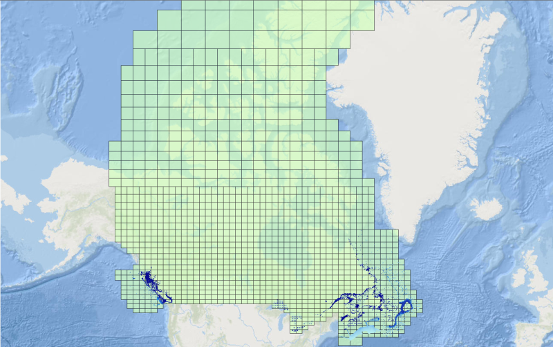
CHS offers 500-metre bathymetric gridded data for users interested in the topography of the seafloor. This data provides seafloor depth in metres and is accessible for download as predefined areas.
-
CHS offers 500-metre bathymetric gridded data for users interested in the topography of the seafloor. This data provides seafloor depth in metres and is accessible for download as predefined areas.
-

McElhanney Consulting Services Ltd (MCSL) has performed a LiDAR and Imagery survey in southern Saskatchewan. The acquisition was completed between the 16th and 25th of October, 2009. The survey consisted of approximately 790 square kilometers of coverage. While collecting the LiDAR data, we also acquired aerial photo in RGB and NIR modes consisting of 1649 frames each.
-

This layer represents Land use polygons as determined by a combination of analytic techniques, mostly using Landsat 5 image mosaics . BTM 1 was done on a federal satellite image base that was only accurate to about 250m. The images were geo-corrected, not ortho-corrected, so there is distortion in areas of high relief. This is not a multipart feature
-
Mackenzie Valley Air Photo Digital Orthotiles