 Arctic SDI catalogue
imageryBaseMapsEarthCover
Type of resources
Available actions
Topics
Keywords
Contact for the resource
Provided by
Years
Formats
Representation types
Update frequencies
status
Scale
Resolution
-

Each pixel value corresponds to the mean historical “Best-quality” Max-NDVI value for a given week, as calculated from the previous 20 years in the MODIS historical record (i.e. does not include data from the current year). These data are also often referred to as “weekly baselines” or “weekly normals”.
-

The ‘Circa 1995 Landcover of the Prairies’dataset is a geospatial raster data layer portraying the rudimentaryland cover types of all grain-growing areas of Manitoba, Saskatchewan, Alberta and northeastern British Columbia at a 30-metre resolution for the 1995 timeframe. It is the collection of all the classified imagery (1993 to 1995) of the Western Grain Transition Payment Program (WGTPP) assembled into a single seamless raster data layer.
-

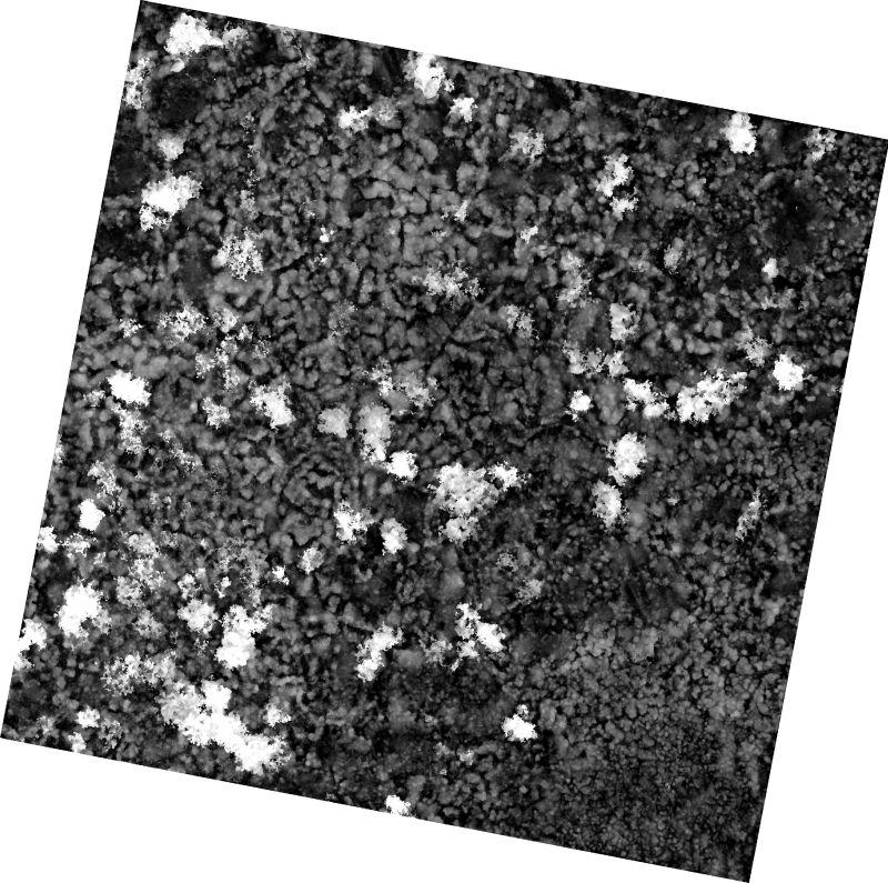
Each pixel value corresponds to the quality control, cloud cover and snow fraction value for each pixel in the Best-Quality Max-NDVI product.
-

Note: To visualize the data in the viewer, zoom into the area of interest. The National Air Photo Library (NAPL) of Natural Resources Canada archives over 6 million aerial photographs covering all of Canada, some of which date back to the 1920s. This collection includes Time Series of aerial orthophoto mosaics over a selection of major cities or targeted areas that allow the observation of various changes that occur over time in those selected regions. These mosaics are disseminated through the Data Cube Platform implemented by NRCan using geospatial big data management technologies. These technologies enable the rapid and efficient visualization of high-resolution geospatial data and allow for the rapid generation of dynamically derived products. The data is available as Cloud Optimized GeoTIFF (COG) files for direct access and as Web Map Services (WMS) or Web Coverage Services (WCS) with a temporal dimension for consumption in Web or GIS applications. The NAPL mosaics are made from the best spatial resolution available for each time period, which means that the orthophotos composing a NAPL Time Series are not necessarily coregistered. For this dataset, the spatial resolutions are: 100 cm for the year 1947 and 50 cm for the year 1977. The NAPL indexes and stores federal aerial photography for Canada, and maintains a comprehensive historical archive and public reference centre. The Earth Observation Data Management System (EODMS) online application allows clients to search and retrieve metadata for over 3 million out of 6 million air photos. The EODMS online application enables public and government users to search and order raw Government of Canada Earth Observation images and archived products managed by NRCan such as aerial photos and satellite imagery. To access air photos, you can visit the EODMS web site: https://eodms-sgdot.nrcan-rncan.gc.ca/index-en.html
-

Land cover classification image for the Aspen Parkland ecoregion of Saskatchewan with a spatial resolution of 10m. The goal of this land cover classification was to distinguish native from tame grasslands. The classification was based on Sentinel-1 and Sentinel-2 imagery using machine learning analysis in the Google Earth Engine platform. The classification was conducted on imagery acquired in 2022, and the classification model was built with field data collected in 2020 - 2022. There are eight classes in total: native grassland, tame grassland, mixed/altered grassland, cropland, shrubs, trees, water, and urban area. Download: here The Prairie Landscape Inventory (PLI) aims to develop improved methods of assessing land cover and land use for conservation. Native grassland has historically been one of the hardest to map at-risk ecosystems because of the challenges in distinguishing native grassland from tame grassland land cover using remotely sensed imagery. This classification distinguishes native grassland from tame grassland and will provide valuable information for habitat suitability for native grassland species, identifying high biodiversity potential and invasion risk potential. The classification map has eight (8) classes: 1. Cropland This class represents all cultivated areas with crop commodities, including corn, pulse, soybeans, canola, grains, and summer-fallow. 2. Native grassland This class represents the native grassland areas that are composed of at least 75% native grass, sedge and forb species, such as the needle grasses and wheatgrasses along with June grass and blue grama grass. Unbroken grassland that is invaded by species like Kentucky bluegrass, crested wheatgrass or smooth brome, such that native cover is less than 75%, is not considered native for the purpose of this project. 3. Mixed/altered grassland This class represents a grassland with a mix of less than 75% native grass, sedge and forb species or less than 75% tame species. These are grassland areas that do not fit into either of the native or tame grassland definitions. 4. Tame grassland This class represents the tame grassland areas that are composed of at least 75% seeded or planted species with introduced grasses and forb species such as crested wheatgrass, smooth brome, Kentucky bluegrass, alfalfa, and sweet clover. 5. Water This class represents permanent water locations such as lakes and rivers. 6. Shrubs This class represents the sites dominated by woody vegetation of relatively low height (generally +/-2 meters) with shrub canopy typically >20% of total vegetation cover. 7. Trees This class represents the coniferous/deciduous trees, mixed-wood area, and other trees >2 meters height with tree canopy typically >20% of total vegetation cover. 9. Urban area This class represents both urban municipalities and buffered roads. Urban municipalities was used to mask the urban/developed area class of the Annual Crop Inventory 2021 (Agriculture Agri-Food Canada). Colour Classes: Value Label Red Green Blue 1 Cropland 255 255 190 2 Native grassland 168 168 0 3 Mixed/altered grassland 199 215 158 4 Tame grassland 245 202 122 5 Water 190 232 255 6 Shrubs 205 102 153 7 Trees 66 128 53 9 Urban area 128 128 128 Accuracy metrics This model has an overall accuracy of 73 per cent. The table below summarizes the user’s accuracy, producer’s accuracy, and F1-score of the model on the validation dataset. Class User’s accuracy (%) Producer’s accuracy (%) F1-score Cropland 91.2 94.5 0.93 Native grassland 74.8 73.1 0.74 Mixed grassland 44.7 44.1 0.44 Tame grassland 67.9 72.8 0.70 Water 94.8 91.3 0.93 Shrubs 61.2 51.1 0.56 Trees 89.7 94.6 0.92
-

Leaf area index (LAI) quantified the density of vegetation irrespective of land cover. LAI quantifies the total foliage surface area per groud surface area. LAI has been identified by the Global Climate Observing System as an essential climate variable required for ecosystem,weather and climate modelling and monitoring. This product consists of annual maps of the maximum LAI during a grownig season (June-July-August) at 100m resolution covering Canada's land mass.
-

Vegetation biophysical parameters correspond to physical properties of vegetation structure (e.g. density, height, biomass), biochemistry (e.g. chlorophyll and water content) or energy exchange (e.g. albedo, temperature). These parameters have been identified by the Global Climate Observing System as an essential climate variable required for ecosystem, weather and climate modelling and monitoring. The Canada wide products are derived from systematically acquired satellite imagery with spatial resolution from 10m to 30m and provided as monthly temporal or peak-season composites due to cloud cover. Products are derived applying algorithms developed at Canada Centre for Remote Sensing (NRCan) to Copernicus Sentinel 2 satellite imagery. Select a related product first to view content.
-
The 1 cm resolution vegetation digital height model was extracted using a bare earth model and digital surface model (DSM) derived from unmanned aerial vehicle (UAV) imagery acquired from a single day survey on July 28th 2016, in Cambridge Bay, Nunavut. The mapping product covers 525m2 and was produced by Canada Centre for Remote Sensing /Canada Centre for Mapping and Earth Observation. The UAV survey was completed in collaboration with the Canadian High Arctic Research Station (CHARS) for northern vegetation monitoring research. For more information, refer to our current Arctic vegetation research: Fraser et al; "UAV photogrammetry for mapping vegetation in the low-Arctic" Arctic Science, 2016, 2(3): 79-102. http://www.nrcresearchpress.com/doi/abs/10.1139/AS-2016-0008
-

Our Imagery Base Maps and Mosaics of a number of Raster Datasets. This includes the ASTER DEM, CDED and Shaded Relief Datasets. As well as a number of mosaics, including SPOT, RapidEye, Landsat, and MVI Landcover data.
-
The Grassland Inventory provides a standardized, high-resolution land cover classification for the grassland ecosystems in Canada. Developed using a random forest classification on multi-temporal Sentinel-1 SAR and Sentinel-2 Optical imagery, the series differentiates intact native grasslands from high-disturbance, tame perennial forage systems; two classes that are spectrally and phenologically similar, yet critical to differentiate and quantify accurately for carbon and biodiversity modelling. Each release in the series includes a categorical 10 m land cover raster and a companion continuous likelihood layer representing model confidence in the native grassland class. As new classifications are added (semi-decadal) and geographic extent increased, the series will enable consistent temporal comparisons to track grassland dynamics and land cover change to support operational and research applications within AAFC and stakeholders.