 Arctic SDI catalogue
Environment
Type of resources
Available actions
Topics
Keywords
Contact for the resource
Provided by
Years
Formats
Representation types
Update frequencies
status
Service types
Scale
Resolution
-

Monthly mean temperature from Bedford Institute of Oceanography North Atlantic Model (BNAM) results were averaged over 1990 to 2015 period to create monthly mean climatology for the Northwest Atlantic Ocean, which can be considered as a representation of the climatological state of the Northwest Atlantic Ocean. The BNAM model is eddy-resolving, NEMO-based ice-ocean coupled North Atlantic Ocean model developed at the Bedford Institute of Oceanography (BIO) to support DFO monitoring programs. The data available here is monthly climatology for eight selected depths (surface, 110 m, 156 m, 222 m, 318 m, 541 m, 1062 m, bottom) in 1/12 degree spatial resolution. The data for each month from 1990 until present for the entire model domain ( 8°–75°N latitude and 100°W–30°E longitude) and various depths is available upon request. The 1990-2017 model hindcast result is compared with observational data from surface drifter and satellite altimetry. The model demonstrates good skill in simulating surface currents, winter convection events in the Labrador Sea, and the Atlantic Meridional Overturning Circulation as observed at 26.5°N and 41°N. Model results have been used to interpret changes in the Labrador Current and observed warming events on the Scotian Shelf, and are reported through the annual AZMP Canadian Science Advisory Secretariat Process. When using data please cite following: Wang, Z., Lu, Y., Greenan, B., Brickman, D., and DeTracey, B., 2018. BNAM: An eddy resolving North Atlantic Ocean model to support ocean monitoring. Can. Tech. Rep. Hydrogr. Ocean. Sci. 327: vii + 18p
-
This point layer shows the locations of named places that fall within Parks Canada areas of interest. Data is not necessarily complete - updates will occur weekly.
-
To show the locations of dams on Parks Canada sites or dams managed by Parks Canada, and other dams of interest to Parks Canada. Data is not necessarily complete - updates will occur weekly.
-
To outline the locations of buildings on Parks Canada sites, buildings that Parks Canada manages, and other buildings of interest to Parks Canada. Polygon file to map building footprints of buildings on Parks Canada sites. Footprints may be derived by tracing the roof outline (for example from an airphoto) or using more detailed measurements of the ground floor. Data is not necessarily complete - updates will occur weekly.
-

Data from the analysis of sea surface temperature, sea surface salinity, bottom temperature, and bottom salinity, over the Gulf of Maine and Scotian Shelf, for 23 CMIP6 models. The analysis includes an evaluation of CMIP6 model performance for the CMIP6 historical (1950-2014) experiment. Future projections are summarized for CMIP6 scenarios SSP245 and SSP370 with the calculation of relative annual and seasonal changes between the historical period (1950-2014) and three future periods (2030-2039, 2040-2049, 2030-2049). Wang, Z., DeTracey, B., Maniar, A., Greenan, B., Gilbert, D. and Brickman, D., Future hydrographic state of the Scotian Shelf and Gulf of Maine from 23 CMIP6 models. Can. Tech. Rep. Hydrogr. Ocean. Sci. XXX: vii + XXXp. Cite this data as: Wang, Z., DeTracey, B., Maniar, A., Greenan, B., Gilbert, D. and Brickman, D. Future hydrographic state of the Scotian Shelf and Gulf of Maine from 23 CMIP6 Models. Published July 2022. Ocean Ecosystem Science Division, Fisheries and Oceans Canada, Dartmouth, N.S. https://open.canada.ca/data/en/dataset/6247bb5a-14b3-461d-9ed3-b42553107bbc
-
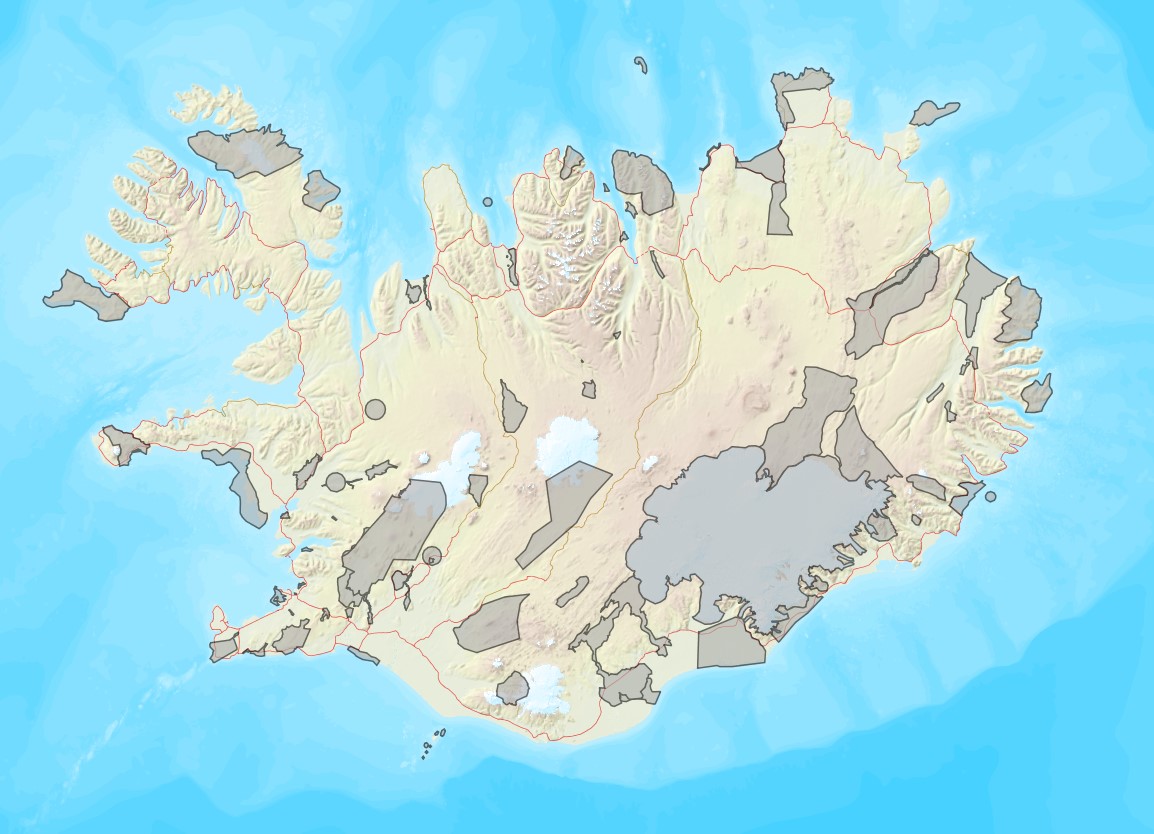
Vinsamlega hafið samband við Umhverfisstofnun vegna nánari upplýsinga.
-
To show the locations of campsites on Parks Canada sites, campsites administered by Parks Canada, or other campsites of interest to Parks Canada. Data is not necessarily complete - updates will occur weekly.
-
This point-layer shows the locations of components that make up facilities (Facilities are stored in another layer). Examples of facility components are barbeques, picnic tables, benches, or kiosks. See the Comp domain for a complete list. NOTE: Although some of the items in the domain appear to be activities, they are actually physical entities that appear within a facility. A facility component point would be stored in this layer to show a more precise location of the kayak rental place of business. Data is not necessarily complete - updates will occur weekly.
-
This line layer shows the locations of docks and quays on Parks Canada sites, docks or quays owned by Parks Canada, or docks and quays of interest to Parks Canada. Data is not necessarily complete - updates will occur weekly.
-

The proportion of agricultural land as percentage of Soil Landscape of Canada (SLC) polygon area data set depicts areas of greater than 2% of agriculture within agricultural extents of Canada.